CSULB Masters of Science in GIS

Dear GIS Community:

We are currently accepting applications to the Masters of Science in Geographic information Science (MSGISci) at California State University, Long Beach (CSULB). The MSGISci is a 1-year, 30-unit MS degree program. Classes are offered on weeknights and weekends to accommodate working professionals.

Please encourage potential applicants to visit www.beachgis.com for more details. 

Review of applications begins April 1, 2017 (note the upcoming FAFSA application deadlines (fafsa.ed.gov/deadlines.htm; March 2nd for CA residents).

Thank you in advance.

Sincerely,

Suzanne

_________________________________
Suzanne P. Wechsler, Ph.D.
Associate Professor
Department of Geography
California State University Long Beach (CSULB)
Director, Master of Science in Geographic Information Science (MSGISci)
www.beachgis.com


 

Long Beach Launches Open Data Portal

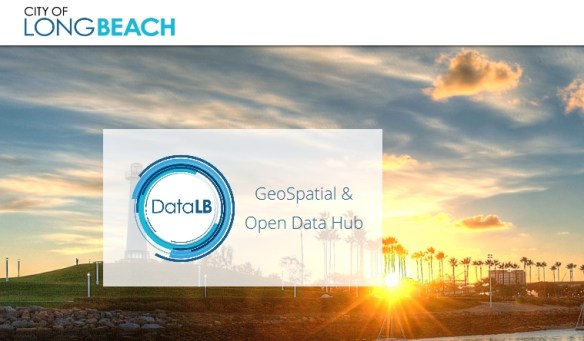
In January, the City of Long Beach launched an open data portal that aims to give the public clear, visual information they can use.  In addition to maps, DataLB provides access to applications that put city data in context.

Developed with ESRI, DataLB’s applications focus on visualizing the impact of initiatives and public investments.  Check it out!

datalb

CloudSpatial Beta Released

Looking for an alternative to ArcGIS Server but still want to use ESRI’s other products?  Maybe CloudSpatial is for you.  Announcing the Beta release of CloudSpatial GIS Server – an ESRI Geoservices REST Implementation. CloudSpatial is a drop in replacement for ArcGIS Server that works with all ESRI API’s and ArcGIS Desktop. CloudSpatial was created as an alternative to ArcGIS Server for organizations that have existing investments / apps built with ESRI technology but would like to reduce the ongoing expense of ArcGIS Server and/or ArcGIS Online. CloudSpatial can also be used by customers that want an ESRI compatible, inexpensive, lightweight and easy to use system for their spatial infrastructure. See how easy it is to setup and use by watching the screencasts. More info at cloudspatial.com/gisserver.

ArcGIS Pro 1.4 Released

ArcGIS Pro 1.4 is now available.  Some of the new features include supporting the production of georeferenced ortho products, sharing dynamic image services, georeference CAD data, create graticules, multipatch editing, changing the interface theme, controlling feature layers with display filters, new interactive selection tool for 2D views, new 3D symbols, create vector tile packages, vector tiles can now be printed and exported, and much more!

Here is a listing of what’s new.  You can download the software from your ESRI account.


California As An Island Map Exhibit

Throughout the 17th and 18th centuries, many believed California was a remote island with plenty of gold, free-loving amazons, and strange beasts.

A new exhibit at Cal State Fullerton’s Pollak Library features a selection of maps from the Roy V. Boswell Collection for the History of Cartography, one of the University’s special collections. The exhibit, “California As an Island and Worlds That Never Were,” will be on display Jan. 22 to March 29 in the Salz-Pollak Atrium Gallery.

Continue reading