Check out this interactive Zika Virus Outbreak map and timeline. You can map other outbreaks as well from their main page at Healthmap.org.


Check out this interactive Zika Virus Outbreak map and timeline. You can map other outbreaks as well from their main page at Healthmap.org.
The Next-Generation Air Transportation System (NextGen) will most likely bring more aircraft noise to Southern California. Residents of Mar Vista, Culver City, Santa Monica, and Pacific Palisades already are noticing jets flying in and out at lower altitudes and more often. This is because the NextGen system uses satellites instead of air traffic controllers for precision separation of aircraft, allowing them to fly at lower altitudes and much closer together for landings and departures. Continue reading
I found this article about what caused Haiti’s cholera epidemic VERY interesting. The tie in with the CDC map is chilling. Click below to read.

Dear Colleagues,
We would like to invite you to submit a chapter for the book “Volunteered Geographic Information and the Future of Geospatial Data”, scheduled for release in 2017.
For further information, please visit http://www.igi-global.com/publish/call-for-papers/call-details/1945 .
Submission proposal deadline: May 14, 2016 (1-page proposal).
Please kindly help circulate this call among your colleagues and students who may be interested.
Dr. Claudio Campelo, UFCG, Brazil
Dr. Michela Bertolotto, UCD, Ireland
Dr. Padraig Corcoran, Cardiff University, UK
(Editors)
Looking to get into web maps and Leaflet? Check out this free book titled “Leaflet Tips and Tricks: Interactive Maps with leaflet.js”.
The book will help you learn how to create maps with the Leaflet JavaScript library through a series of step-by-step recipes to achieve great dynamic and interactive web maps. Continue reading
The NAIP 2014 DOQQ TIFF-format 4-band images for California were recently added to the old Cal Atlas download site. The images, index files, and metadata are available from the following link:
http://www.atlas.ca.gov/download.html#/casil/imageryBaseMapsLandCover/imagery/naip/
Check out this article about how one can mislead map readers when you use improper classifications of data and poor color ramps.

Thanks goes to Barry from the City of Carson for finding this article.
Learn what spatial analysis can do for you with a free online course from ESRI. The course is for people who know something about spatial analysis and want to learn what ArcGIS Online has to offer. You will get free access to the full analytical capabilities of ArcGIS Online during the course:
Looking for free basic Python training? Check out these free webinars:
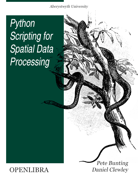
Looking for a free Python book? Check this one out!
We currently have a business need to get at parcel center points using parcel numbers. If some of our business systems can communicate using HTTP, I thought using the ArcGIS Server REST API with our map service would be ideal. But first I needed to figure out how to do it. What better way to test the concept by building a Python script! Continue reading
