Orange County Waste and Recycling uses ArcGIS Velocity to monitor landfill stockpiles temperatures in real time while saving the county thousands of dollars. Check it out!
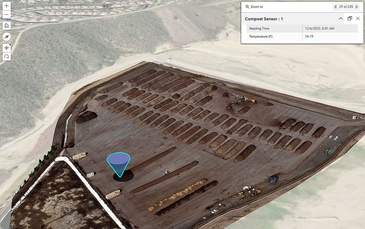

Orange County Waste and Recycling uses ArcGIS Velocity to monitor landfill stockpiles temperatures in real time while saving the county thousands of dollars. Check it out!
The Plenary Session at the 2023 ESRI Developer Summit kicked each day off with an inspiring deep dive into the entirety of the ArcGIS system, exploring spatial analytics, data science, and location services with expert-led app-building demonstrations.
Days one and two of the Plenary Session, as well as the customer keynotes, are now available to view. Check it out!

ESRI is hosting an ArcGIS Field Maps webinar on March 15. They will introduce you to Field Maps and the new Field Maps Designer web app as well as cover the following:
For more information and to register for the webinar, click here.
