Public Information During Emergency Response and Recovery

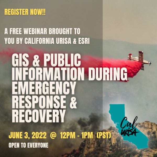
The California Chapter of the Urban Regional Information Systems Association (CalURISA) is pleased to host the ESRI presented webinar: Public Information During Emergency Response and Recovery. This webinar will demonstrate the new Public Information Template for ArcGIS Experience Builder, designed to quickly deploy vital location information to the public during emergencies. The template streamlines the creation of a 3-in-1 web map application for use on devices with small, medium, and large screens. Chad Miller, GIS Analyst with the County of Monterey will host the session, with key presenters being Stephanie Baker and Jason Latoski, Solutions Engineer for ESRI’s Local Government Team, along with guest presentations from Kevin Lacefield of Sonoma County and Matt Lamborn of Napa County.

For more information and to register, click below.
CGIA Needs Leaders

CGIA has openings for its Board of Directors and for the Board Officer – Vice Chair position. These are important roles and leadership opportunities for the California GIS community of practice. They are two-year positions and the term of service will begin in July 2022. Self nominations are welcome. Nominations are due no later than close of business May 20, 2022.

Click here for more information.

EV Charging Stations in the US

Check out this interactive map and article about the total EV charging stations in the US. If we will be forced to buy electric vehicles soon, they better up their charging stations! While California has 13,658 charging stations, Alaska only has 40. Check it out!

As a side note, according the NACS, there are more than 145,000 fueling stations across the United States. And as you know, they can fuel multiple vehicles at one time vs. just 1 EV charging station per vehicle.

2022 ASPRS Spring Tech Session

2022 Spring Technical Session Hosted by Pacific Southwest Region ASPRS. May 18, 2022 at 6pm in Concord, CA.

Please join colleagues, students and peers in the Remote Sensing profession for an evening of insightful presentations, thoughtful discussion and snacks!

Featured presentations include “Airborne Thermography for Bridge Decks”, “Statewide Ground Surface Subsidence: Precise Measurement via Remote Sensing Survey – 2015 through 2024”, and “Mapping Accuracy Assessment of UAS Platforms”.

Click here for more information and to RSVP.

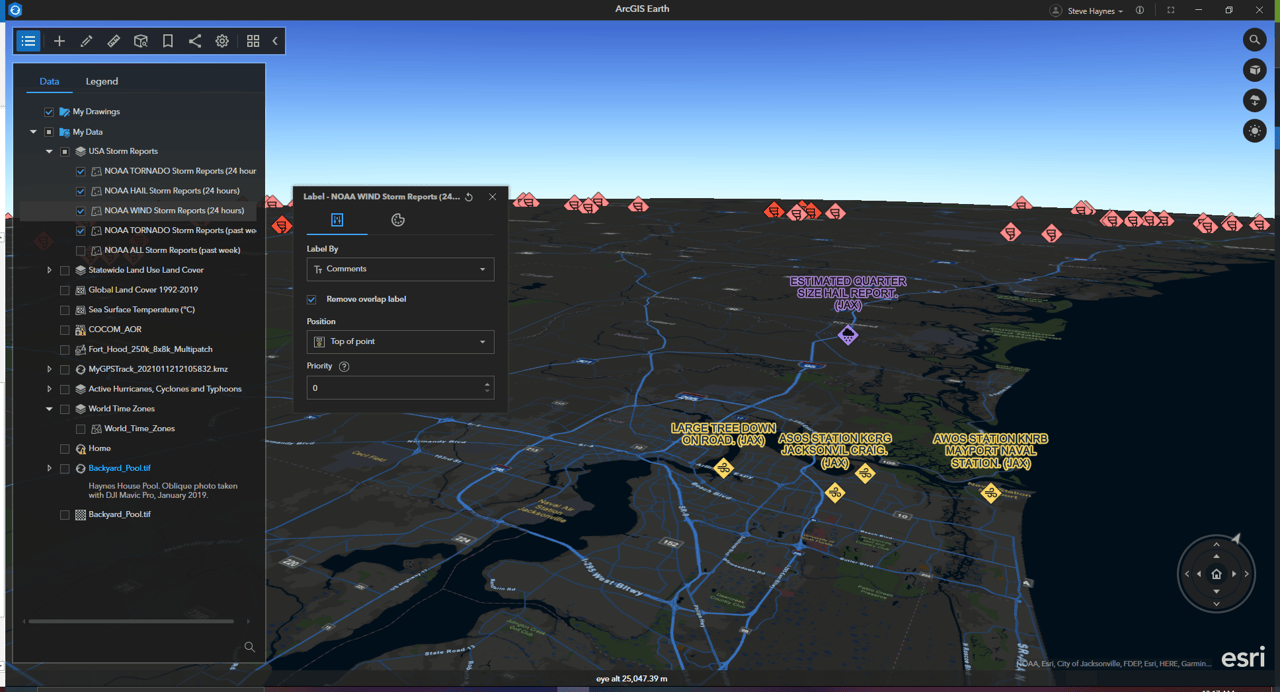
New Stuff in ArcGIS Earth

Here are some new enhancements to ArcGIS Earth:

  • The new on-screen navigation controller offers a more flexible navigation of the globe by adding zoom functionality, viewport navigation, vantage point, and orientation control into a sleek and user-friendly on-screen component. It’s also great for navigating on laptops without a mouse!
  • Vector tile layers have been a highly requested and long-awaited addition to ArcGIS Earth—now you can add vector tile layers to the My Data or Startup layer folders or set them as the basemap, depending on the data and what suits your workflow. 
  • With the new 3D labeling capability in ArcGIS Earth, you can customize the style and visualization of 3D labels on the fly and set the label position and style in a 3D global view.

Click below to read the latest on new features and functionality including KML, multi-selection and batch editing, and attribute tables.