Indicators of Broadband Need Map

The Indicators of Broadband Need map was created by the United States Department of Commerce, National Telecommunications and Information Administration (NTIA).  The map uses several different data sources to show information on broadband availability within the United States.  Layers in this map were created using data sourced from the American Community Survey collected by the U.S. Census, Measurement Lab (M-Lab), Ookla, Microsoft and the Federal Communications Commission (FCC).  Check it out!

Fireworks 2021!

July 4th is just a few days away, which means there will be fireworks again!

Use the app to view cities in LA, Orange, Ventura, Riverside, and San Bernardino County that allow the sale and discharge of fireworks.  Included are days and times when fireworks will be sold and when you can light them up, as well as links to city websites and telephone numbers.  Data was collected from municipal codes, websites, and/or contacting each city.  Some cities allowed sales to start yesterday AND allow you to discharge them now as well!  Check it out and be safe!

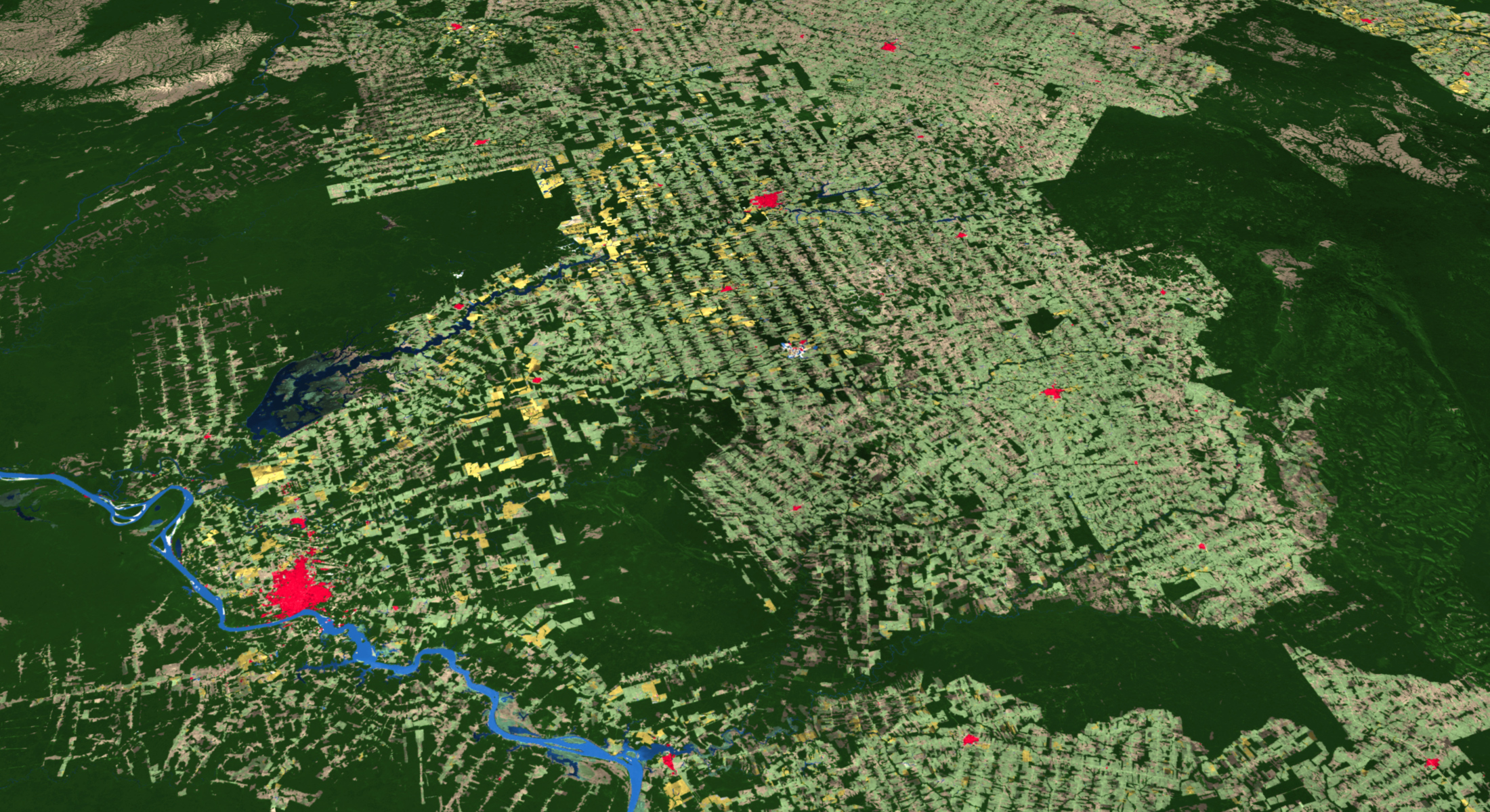
New 2020 Global Land Cover Map

ESRI has released a new 2020 Global Land Cover Map Service in ArcGIS Online, part of their Living Atlas datasets.

The map was built using European Space Agency (ESA) Sentinel-2 satellite imagery, and developed using a new machine learning workflow. The 2020 land surface data is at 10-meter resolution and includes categories such as water, trees, grass, flooded vegetation, crops, scrub/shrub, built area, bare ground, and snow/ice. There is also a cloud and no data category. Check it out!

ArcMap is Done

ArcGIS Desktop (ArcMap) version 10.8.1 is the last version for this GIS software that we have been using for many years. There will not be a 10.9 version. You are encouraged by ESRI to move on to ArcGIS Pro.

ArcMap 10.8.1 will be supported until March 1, 2026. Most of you probably knew this already, but just in case click here for more info.

Summer GIS Courses @ Rio Hondo

GIS Courses are scheduled online for this Summer at Rio Hondo College with several optional field exercises.  During this time, classes at Rio Hondo College are online for Summer 2021 and tentatively returning to on-campus and Hybrid Fall 2021.  We will have optional local field exercises during July to provide hands-on opportunity using drones for survey mapping workflow and processing.  For more information visit https://gisteacher.wixsite.com/riohondo/summer2021 

Introduction to GIS (GIS 120) 4 units CRN 50133 (Dates 06/07-08/13)

Applied Geographic Info Systems (GIS 130) 4 units CRN 52362 (Dates 06/21-08/13).  Note, if you have not attended GIS classes at Rio Hondo before, please contact wroberts@riohondo.edu for course waiver to register for the class (introduction to GIS is a prerequisite).