This color palette generator is a handy online tool that quickly creates a set of colors especially designed to make any data visualization, such as pie charts, bar charts, and maps, more effective. Check it out!


This color palette generator is a handy online tool that quickly creates a set of colors especially designed to make any data visualization, such as pie charts, bar charts, and maps, more effective. Check it out!
Burbank just got their LARIAC6 imagery. The projection that was used is a little different. It did catch me by surprise when I was comparing it to LARIAC5 imagery.
LARIAC5 – NAD_1983_StatePlane_California_V_FIPS_0405_Feet
LARIAC6 – NAD_1983_2011_StatePlane_California_V_FIPS_0405_Ft_US
Just enough to make ArcGIS Desktop complain!
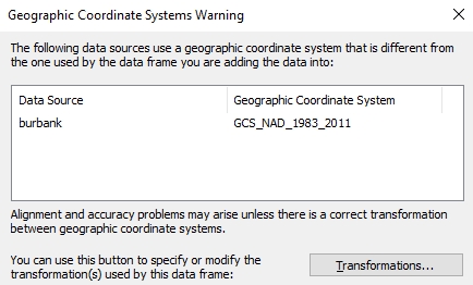
NAD 83 (2011) is a new NAD 83 “realization”. It does not use a new datum. It is a refinement of the NAD 83 datum using data from a network of very accurate GPS receivers at Continuously Operating Reference Stations (CORS). From the point of view of GIS use, the difference is very slight and it will not be an issue when overlaying your older NAD 83 data.
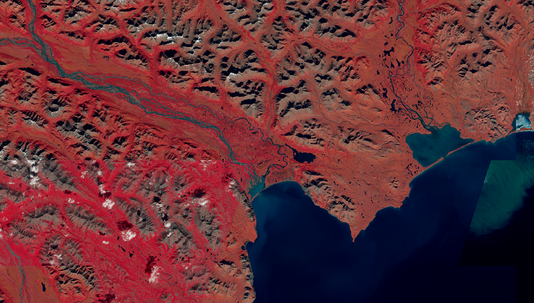
Landsat image services in ArcGIS Online will be updated this spring with Landsat Collection 2 imagery, recently released by the US Geological Survey (USGS). Landsat Collection 1 imagery will be retired. Click below to read more about it.
Ok, this is a new one for me! Never heard of “technical debt”. I think it is more of a marketing ploy, but you be the judge. Click below to read the article.

Earlier this year, ESRI launched a new product called ArcGIS Platform, a platform-as-a-service (PaaS) offering that makes it easier to integrate ESRI location services into apps, solutions, and business systems. As a GIS professional, you already realize the benefits of GIS. However, it can be a challenge when developers in your organization need location services but are not familiar with the ArcGIS system or require the additional functionality provided by it. With ArcGIS Platform, developers and IT professionals can take advantage of location services—including basemaps, routing, geocoding, data, and geoenrichment—within their development environment through an industry-standard development experience, instead of needing a stand-alone set of services. This month, the ESRI state and local government team will present the following:
The webinar is March 17 at 10am. For more info and to register, click here.
The California Geographic Information Association (CGIA) will host a webinar today with the California State GIO about California GIS initiatives and a conversation about supporting new GIS professionals. The webinar will be today at 12:30pm. Click here for more info and to RSVP.
The National Maps Corps is an online crowdsourcing mapping project with volunteers successfully editing structures in all 50 States, Puerto Rico, and the U.S. Virgin Islands. Structures include schools, hospitals, post offices, police stations, cemeteries, and other important public buildings. By updating and verifying structures data, volunteers are making significant contributions to USGS National Structures Database, The National Map, and ultimately US Topo Maps.
If you have some time, why not do a little data editing? Click below and check it out.

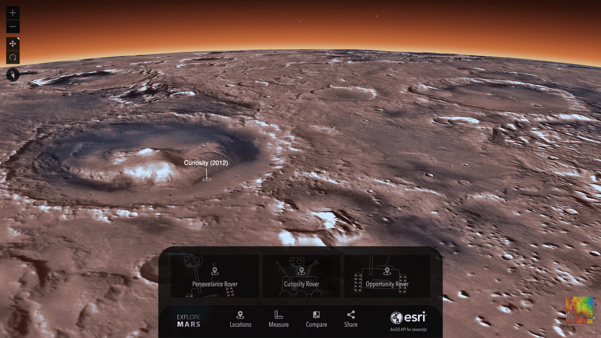
Check out this ESRI blog post about adapting planetary coordinate systems to then view in a 3D globe application like for Mars.
The OGC membership recently approved the new Indoor Mapping Data Format (IMDF). Read about it here.
One-Year MS in GIS @ CSULB – Apply Now for Fall 2021!
Geospatial is everywhere. Harness and hone your geospatial skills and the power of the technology through a Master of Science in Geographic Information Science (MSGISci) at California State University Long Beach (CSULB).
The MSGISci is a 1-year, 30-unit MS degree program offered through the Department of Geography at CSULB. Classes are scheduled on weeknights and weekends to accommodate working professionals. Program details and application instructions can be found at http://www.beachgis.com.
Application review will begin April 1st. The deadline for domestic applicants is June 1st and April 1st for international students.
Make sure to apply for financial aid for all graduate programs you may be considering. https://fafsa.ed.gov/.
