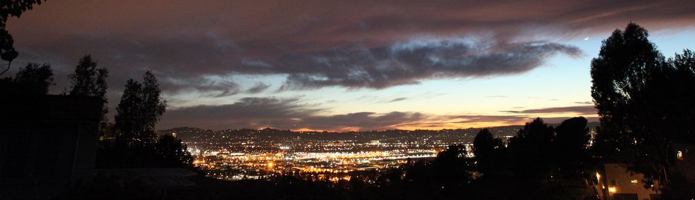
I’ve noticed that firework stands are appearing around town, which reminds me that the 4th of July is almost here and that means FIREWORKS!
Like the many years before, the famous Fireworks app will tell you when fireworks will start to be sold in SoCal cities that allow them and when you can light them up! Check it out!
The California Map Society and the David Rumsey Map Center invite all US-based undergraduate and graduate students to apply for an opportunity to curate an original exhibition of maps from our collections based on the topic of the applicant’s choice. Proposals will be judged on the strength of the topic, the effective use of maps in support of the topic, and overall quality of research and writing. Applications are due Friday, June 26, 2026, at 11:59pm to rumseymapcenter@stanford.edu. Use the subject: “Exhibition Competition Submission.”
The winner of this competition will receive:
Installation of physical exhibition in the Rumsey Center and hosting of a digital companion exhibition
A pre-tax $1,000 award
One year membership in the California Map Society
Opportunity to present at the California Map Society’s spring meeting, and up to $1,000 for related travel expenses
Learn more about the award, past winners, and how to apply.
On April 20, 2026, the Department of Justice published an Interim Final Rule extending both compliance deadlines for the 2024 Title II web accessibility rule by one year. State and local government entities with a total population of 50,000 or more, which faced a deadline of April 24, 2026, now have until April 26, 2027. Smaller public entities and special district governments, which had until April 26, 2027, now have until April 26, 2028.
This means that all your GIS applications and PDF maps do not have to be compliant until next year. If you have been working diligently to get everything together by the deadline, you now have a reprieve!
Description: Reference librarian Julie Stoner and geospatial data visualization librarian Abraham Parrish will present an introduction to nautical charts in the Geography and Map Division collections at the Library of Congress. The first half of this orientation session will give an introduction to nautical charts, their history, and their uses. The second part of the orientation will highlight the various nautical chart holdings found within the division and how to search for and view these maps. After the presentation, staff look forward to answering additional questions from attendees.
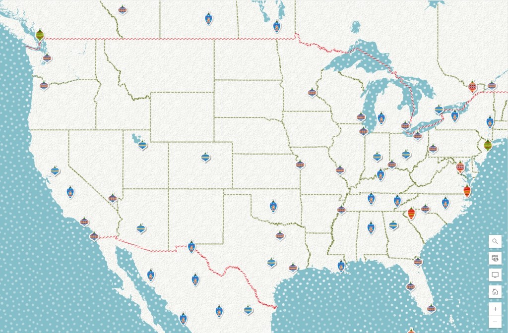
I wanted to say Merry Christmas to all and share the Merry Christmas Map (v2) from ESRI. The web map provides a detailed basemap for the world symbolized with a unique twist on the Christmas holiday. Check it out!
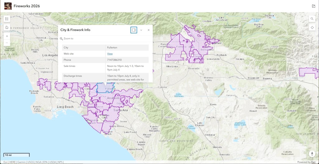
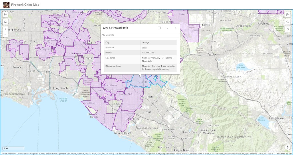
Yes, it is almost July 4th again and our famous SoCal Fireworks app has been updated for 2025.
For this year the City of Orange has joined the other cities that allow fireworks. Sadly the City of Carson and City of Inglewood decided to ban fireworks for this year.
Use the app to view cities that allow the sale and discharge of fireworks in LA, Orange, Ventura, Riverside, and San Bernardino counties. Included are days and times when fireworks will be sold and when you can light them up, as well as links to city websites and telephone numbers. Data was collected from municipal codes, websites, and/or contacting each city. Data provided as is. Some cities are allowing sales now. Check it out and be safe!