Mobile Plotter in a Box

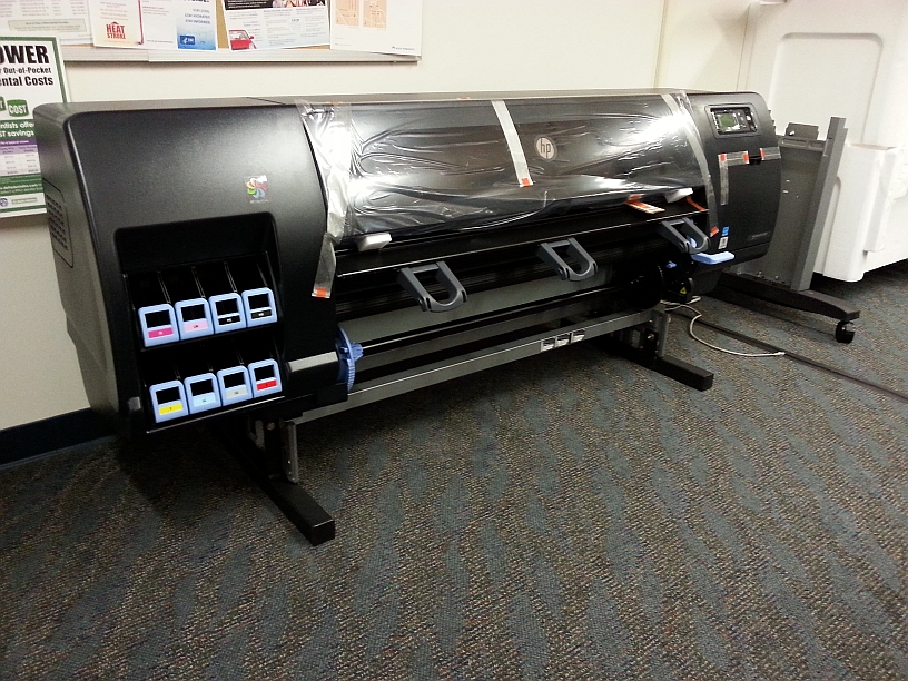
Burbank Fire has had a mobile plotter for quite some time.  It was an HP Designjet 1055CM placed in a custom box to make it mobile.  It was time for a new plotter and this time it is an HP Designjet Z6200 which is quite a bit bigger.

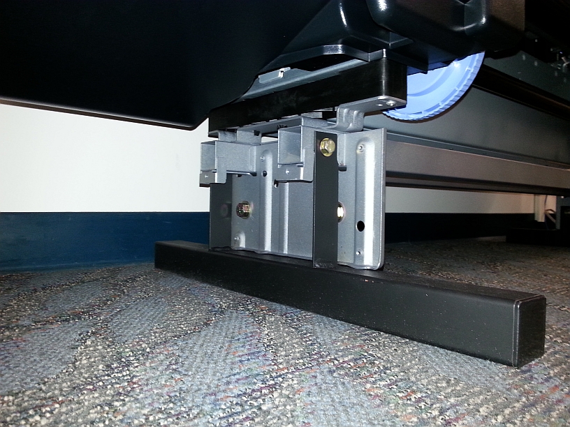
To make it fit in a reasonable size box, one of the guys in our IT Department made custom short legs for it.  He is great with a welding torch!  You can see the original legs to the right of the plotter in the photo below.

plotter1

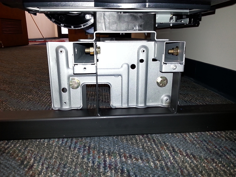
Foot braces (black) were created to bolt onto the plotter’s original hardware (silver).

plotter2

plotter3

The custom box has a lid that comes off to expose the plotter for use.

plotter4

plotter5

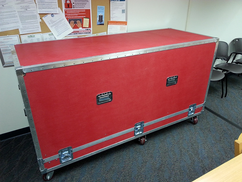
Pretty cool red box!  -mike

LA County Map from the Past!

I have been going through all the ESRI Map Books that I have collected over the years from the ESRI user conferences.  In the 1991 map book, actually titled “Arc/Info Maps 1991”, I came across a map made by Los Angeles County titled “Cities and Major Features in Los Angeles County”.  Maybe used Arc/Info 5 or 6?  Looks like they used an electrostatic plotter that printed the map in 4 passes for cyan, magenta, yellow, and black.  Awesome!

laco_map1991

Fireworks 2015: Cities Added!

July 4th is just around the corner and that means Fireworks!  Once again I bring you the fireworks app.  You can view cities in LA, Orange, and Ventura County that allow the sale and use of fireworks.  Included are days and times when fireworks will be sold and when you can light them up, as well as links to city web sites and telephone numbers.  Data was collected from municipal codes, web sites, and/or contacting each city.

This year the City of Anaheim and the City of Huntington Beach have been added to the map.  Through measures last year, voters decided to allow fireworks to be sold and used within their borders.  Congratulations to them and enjoy the app!

fireworksapp2015

Built:LA

Inspired by previous building-ages maps that began popping up last year, urban designer Omar Ureta has created an interactive map of building ages in LA County.  Ureta used the building outline data from LA County’s GIS data portal.  You can click on the timeline to explore how the city has grown over time.  You can also hover over a building to reveal the address and time it was built.

builtla

USDA Web Soil Survey

The Web Soil Survey (WSS) provides soil data and information produced by the National Cooperative Soil Survey. It is operated by the USDA Natural Resources Conservation Service (NRCS) and provides access to the largest natural resource information system in the world.

NRCS has soil maps and data available online for more than 95 percent of the nation’s counties and anticipates having 100 percent in the near future. The site is updated and maintained online as the single authoritative source of soil survey information.  Check it out.

websoilsurvey

USGS Webinar: Using the National Map Services

Are you a developer, firm, or organization using mobile or web applications to enable your users?  The USGS has publicly available geospatial services and data to help your application development and enhancement.

The USGS National Geospatial Technical Operations Center will be hosting a 30- minute webinar on “Using The National Map services to enable your web and mobile mapping efforts” on June 16 at 9am Mountain Time.