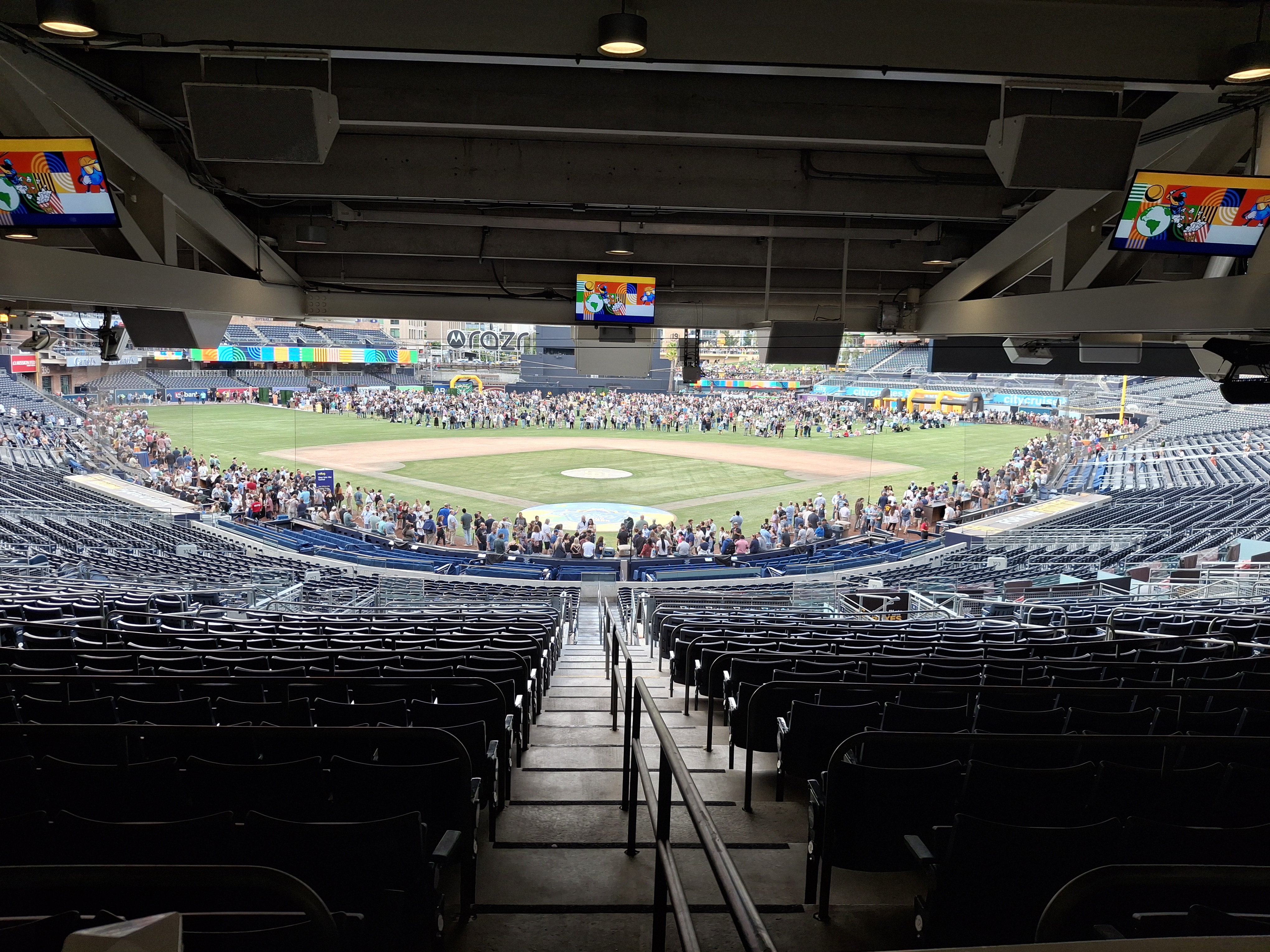
Do you use the Map Viewer in ArcGIS Online? If so, the new version in Beta will be ready for you to try out! Click below to read more about it and what to do to be able to use the new functionality.
Category Archives: Announcements
Fireworks 2019!
July 4th is just around the corner, which means there will be fireworks again!
Use the app to view cities in LA, Orange, Ventura, Riverside, and San Bernardino County that allow the sale and discharge of fireworks. Included are days and times when fireworks will be sold and when you can light them up, as well as links to city websites and telephone numbers. Data was collected from municipal codes, websites, and/or contacting each city. Some cities allow sales to start today AND allow you to discharge them today as well! Check it out!
Shamrock Shake Locator
Merry Christmas 2017
Wishing you all a very Merry Christmas and a Happy New Year. Enjoy this year’s Christmas Card Map! -mike
If you are looking for last minute “map” type gifts. Check out this site!
Satellite Image Thomas/Creek/Rye Fires
Check out this image of the Thomas, Creek, and Rye Fires today at 10:25am.
Source: NASA Earthdata, MODIS Near Real Time Images
Calling All SoCalGIS Cities – Help!
I thought of using a title for this post like “He Totally Messed Up The Map And You Won’t Believe What Happened Next” just to get you to click, but I settled for the one above instead! 😀
Now that I have your attention…
If you are using GIS in a city or county government in Los Angeles County or Orange County and you have a public web site for your GIS maps and apps, please help me out!
Please check the SoCalGIS Resources page and make sure that the link to your city or county web site is correct. If the URL has changed or your site is missing from the list, please let me know via email.
And if you have other resources you use that you think would be a good idea to have on the SoCalGIS site, let me know about that too!
Thanks.
mike
SoCalGIS Meeting Tomorrow
Just a reminder that our SoCalGIS Meeting is tomorrow at Rio Hondo College from 10am to 12:30pm. Make sure to register. Agenda here and parking/pass info.
See you all tomorrow!
SoCalGIS Meeting This Friday
Just a reminder that our SoCalGIS meeting will be this Friday, April 7th, from 10am to 12:30pm at Rio Hondo College in Whittier. You will learn more about GIS at Rio Hondo College and expect a drone demo and demo of data processing tools!
Please register for the meeting here: https://goo.gl/WrNY0c
Parking is free in Lot A nearest to the footbridge crossing to the Career Technology building. Directions will be emailed to you as well as the agenda and parking pass. Make sure you register!
Here is a map of the campus. Rio Hondo College, 3600 Workman Mill Road, Whittier, CA, 90601.
Tentative Agenda:
- Welcome
- 1Spatial – Demonstration of 1Integrate product
- NorthSouth GIS – Demonstration of Enesgy product
- Rio Hondo College GIS – Drone demonstration including workflow and processing using Pix4D
Any questions, contact Warren Roberts.
SoCalGIS Meeting April 7th
Mark your calendars for our next SoCalGIS meeting on April 7th. It will be hosted by Rio Hondo College GIS in Whittier. The meeting time is 10am to 12:30pm and parking info will follow soon, as well as an agenda. Expect a drone demo and demo of data processing tools!
More info soon. Stay tuned!
A Great SoCalGIS Meeting
Thanks to all that attended our SoCalGIS meeting yesterday. And thanks to CyberCity 3D for hosting and providing lunch! The presentations by CyberCity, Pasadena, and Emxsys were great too! You can download the presentations on the SoCalGIS Meetings page.