Check out how to use texture fills to highlight regions or to denote uncertainty in an ArcGIS Online map viewer.
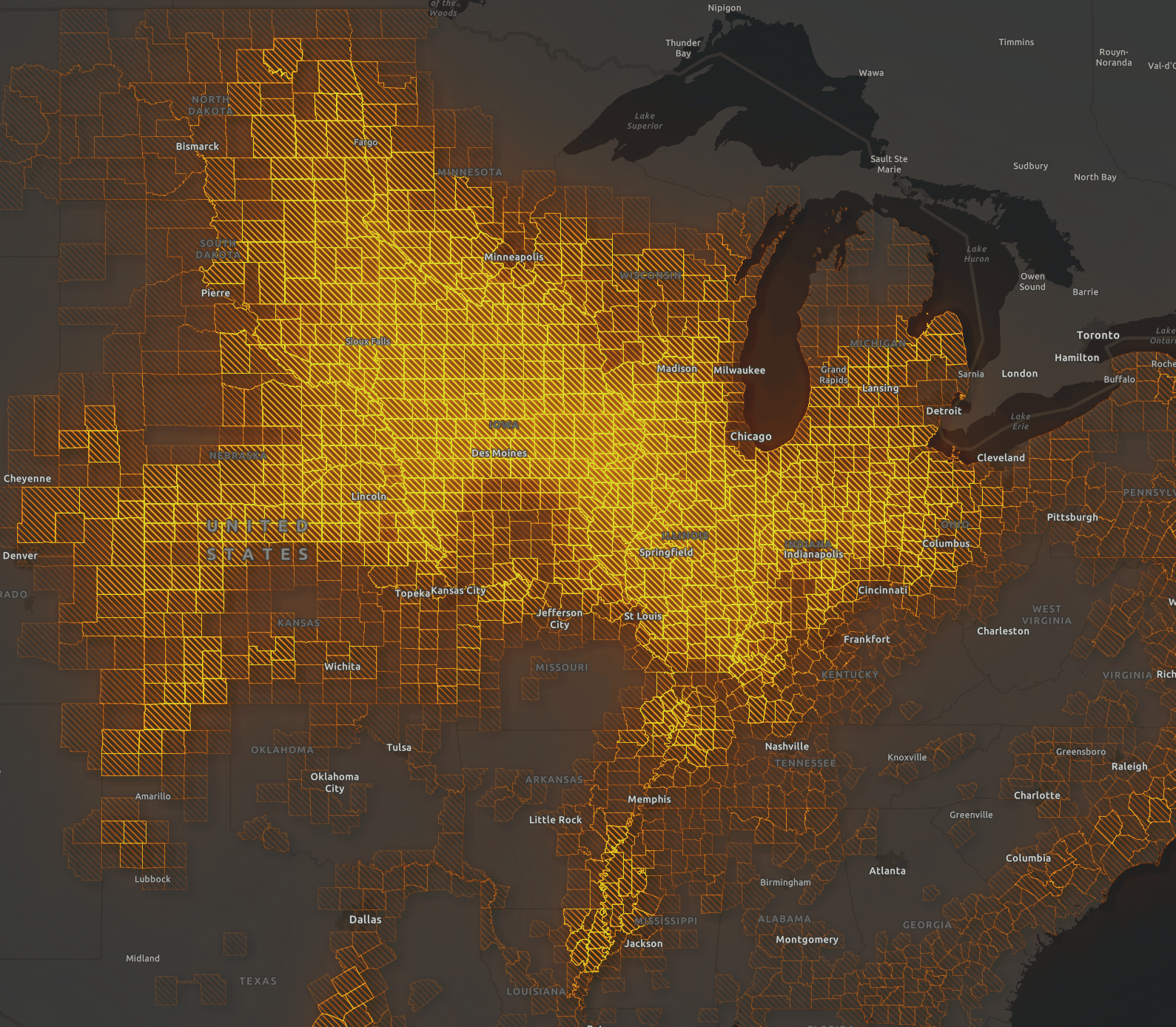
Check out how to use texture fills to highlight regions or to denote uncertainty in an ArcGIS Online map viewer.
The California Geographic Information Association (CGIA) is looking for nominations for their new Coordinating Committee. The Coordinating Committee assists the Chair and Vice-Chair in the governance of the Council “on internal business matters such as developing agendas for Council meetings, maintaining the Council website, supporting communications, holding elections, responding to requests from Council members or constituencies, and establishing workgroups.”
Nominations close at 5:00 pm Friday, September 30, 2022. For more information, visit their announcement here.
There is a webinar today at 10am PDT about the ArcGIS Utility Network Management Options. There is also another webinar next month on Implementation Considerations. For more info and to register, follow this link.
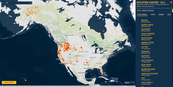
As wildfire season heads into its peak in late summer and early fall along the west coast, web cartographers at ESRI have created a new Wildfire Aware interactive mapping app. The app tracks wildfires across the country and reports on their impact to people, property, and the natural world. The app includes data from different agencies, including the Environmental Protection Agency (EPA), NASA, the National Weather Service, the U.S. Census, and the U.S. Fish and Wildlife Service. For each fire, you can scroll through data that shows how long the fire has been burning, how much acreage it has burned, how many personnel have been deployed, and what percent contained it is, as well as other data including what type of landform it covers, how much biodiversity is present, and how much carbon could be lost. Check it out!
If you have a need to quickly collect data while out in the field, check out this webinar about ESRI’s QuickCapture software product. See how easy it is to incorporate rapid data collection at your organization.
For more info and to requester, click here. The webinar is on September 14 at 9am PDT.
ESRI has a webinar that explores addressing challenges associated with gathering, filtering, and leveraging a myriad of threat and risk data feeds and then disseminating threat information and alert stakeholders of issues.
Click here for more info and to register. The webinar is on September 7 at 11am-12pm PDT.
