
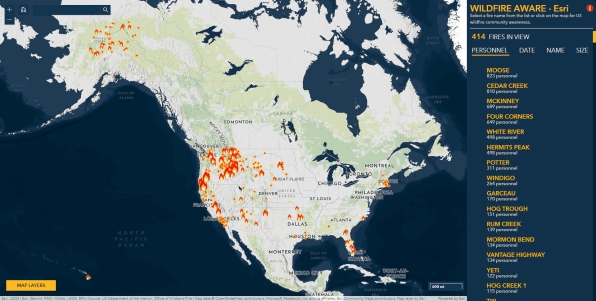
As wildfire season heads into its peak in late summer and early fall along the west coast, web cartographers at ESRI have created a new Wildfire Aware interactive mapping app. The app tracks wildfires across the country and reports on their impact to people, property, and the natural world. The app includes data from different agencies, including the Environmental Protection Agency (EPA), NASA, the National Weather Service, the U.S. Census, and the U.S. Fish and Wildlife Service. For each fire, you can scroll through data that shows how long the fire has been burning, how much acreage it has burned, how many personnel have been deployed, and what percent contained it is, as well as other data including what type of landform it covers, how much biodiversity is present, and how much carbon could be lost. Check it out!

Thanks for sharing the information. This really helped.