Here is an interesting article and map showing the largest employers in each state. Here in California it is the Naval Station in San Diego with 42,951 employees.


Here is an interesting article and map showing the largest employers in each state. Here in California it is the Naval Station in San Diego with 42,951 employees.
This map from the Tax Foundation uses data from the Bureau of Economic Analysis and answers the question state by state. In Mississippi, your $100 could buy $115.74 worth of stuff relative to the national average. On the other hand in California you would only get $88.57 worth.

A common, frequent complaint about Los Angeles is that it’s so big and so sprawly and it feels like it goes on forever. Is it really? Let’s get a better grasp of LA’s relative size, care of self-storage-focused site Spare Foot, which superimpose LA’s city limits over the borders of other major cities (and even a few landmarks). The pairings also show how LA compares to other metropolises in terms of land area, population, and density per square mile. Check it out.

Our ArcGIS Server licenses were going to expire soon, so I went ahead and updated them with new license files. All was well … for a while.
A week later one of our ArcGIS Server installations started having issues with the map services. Basically the map services, though running, stopped displaying the features that were in them. Looking into the error logs, we found stuff like this:
The Layer:’Parcel’ in Map:’Layers’ is invalid. The base table definition string “bur.ags.parcels” is invalid. No ArcGIS server license found. Contact your geodatabase administrator to update license
What? I updated the ArcGIS Server license! What is going on? Reading the error messages again, the part about “the base table definition string is invalid” reminded me about when I setup the Enterprise Geodatabase.
For this particular ArcGIS Server installation, I decided to setup the Enterprise Geodatabase inside PostgreSQL, store GIS data in it, and use the data for the map services. When I was setting it up I used the Create Enterprise Geodatabase tool. One of the parameters for the tool required me to provide a path to the keycodes file that was created when I authorized ArcGIS Server. I wonder if it is PostgreSQL?
Using ArcCatalog I tried to connect to the Enterprise Geodatabase in PostgreSQL, and here is what I got:

Aha! I guess PostgreSQL does not automatically get updated when I update the ArcGIS Server license. I am running ArcGIS Server 10.2, so the keycodes file (named keycodes) is located under C:\Program Files\ESRI\License10.2\sysgen. After entering that and pressing OK, I had access to the Enterprise Geodatabase again. I then restarted the map services that access the Enterprise Geodatabase and all was well again!
Surprisingly my other ArcGIS Server installation’s map services were working fine. However, they access an Enterprise Geodatabase in Oracle. I guess Oracle was updated automatically when I updated the ArcGIS Server license file? I don’t know, but if something similar happens, I will check the Enterprise Geodatabase first!
If you use ArcGIS Server with PostgreSQL, this little fix should help you if you encounter similar problems. -mike
Google Maps is now available offline. That means on your Android you can select an area to download from your phone and use it to navigate offline in areas that you don’t get good coverage in. And better yet, Google Maps can switch seamlessly between offline and online. Click here to read more.

GIS Day is Wednesday, November 18th. If you are looking for a site to visit, check out this interactive map for the SoCalGIS area (and beyond).

Location data from gisday.com.
Get your Professional Certificate in GIS at UC Riverside Extension. They have been offering the GIS Certificate since 1993! Check them out!
http://www.extension.ucr.edu/academics/certificates/geographic.html
I had to throw this one on here. Check out the James Bond Travel Map!

Free webcast today, starts at 11am PST! Hurry and sign up!
Southern California’s Shrinking Salton Sea: Mapping, Managing and Mitigating New PM10 Air Pollution Sources
Abstract:
The Imperial Irrigation District (IID) Water Conservation and Transfer Project includes a long-term transfer of up to 303,000 acre-feet of water annually from IID to the San Diego County Water Authority, and the Coachella Valley Water District. The Water Transfer Project, along with other factors affecting Salton Sea inflows and water balance, will result in accelerated exposure of the Salton Sea floor. As the Sea continues to recede, there is potential for windblown dust emissions from the exposed dry lakebed (the playa). A significant portion of this windblown dust is PM10 (particulate matter with an aerodynamic diameter of 10 micrometers or less). PM10 are approximately 1/7th the thickness of a human hair, are small enough to be inhaled, and represent a potential human health risk.
The Salton Sea Air Quality Program is focused on monitoring and mitigating dust emissions from exposed Salton Sea playa. Remote sensing is a key component of this program, and will be used to map playa surfaces, vegetative cover, and active dust source areas. Learn how satellite, aerial and UAV images all contribute to this effort and how they are being processed using Trimble eCognition image analysis software. The presentation will also discuss dust control pilot projects, such as Surface Roughening, and the remote sensing techniques used to inform design and evaluate dust control effectiveness.
Need access to Tract and Parcel maps for a particular property? Maybe you want to incorporate Tract and Parcel map data in your applications? Take a look at the Land Records data provided by the Los Angeles County GIS Data Portal. The data has links to thousands of scanned documents online.
Here you can download shapefiles with links to Tract maps, Parcel maps, Records of Survey, Township plats and Landgrants, Subdivision activity, and City boundaries. Most of the data seems to be updated every quarter.
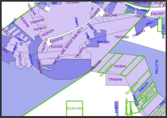
You can also take a look at their Land Records Viewer too.
