
Need access to Tract and Parcel maps for a particular property? Maybe you want to incorporate Tract and Parcel map data in your applications? Take a look at the Land Records data provided by the Los Angeles County GIS Data Portal. The data has links to thousands of scanned documents online.
Here you can download shapefiles with links to Tract maps, Parcel maps, Records of Survey, Township plats and Landgrants, Subdivision activity, and City boundaries. Most of the data seems to be updated every quarter.
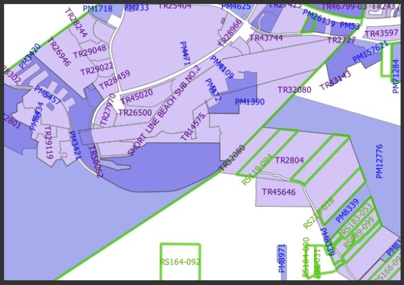
You can also take a look at their Land Records Viewer too.
