Looks like the capabilities of Google Earth Enterprise Server, Fusion, and Portable will be open sourced under the Apache 2.0 license by the end of March this year and available to open source developers on Github.


Looks like the capabilities of Google Earth Enterprise Server, Fusion, and Portable will be open sourced under the Apache 2.0 license by the end of March this year and available to open source developers on Github.
The 2020 U.S. Census is just a few years away and the U.S. Census Bureau is starting to gear up! Read about some of the changes that will be happening for the 2020 Census and how other organizations will be helping out.

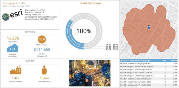
The upcoming update to Community Analyst is planned for the end of February and will include the following improvements and enhancements:
Read more about it by clicking below.
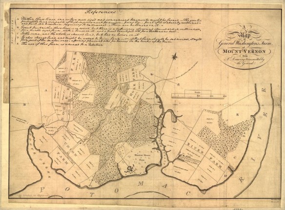
Besides being our first president of the United States, George Washington was also a chart maker, cartographer, and land surveyor. Check out this article about him and the map depicting his Mount Vernon estate.
The National Weather Service models are showing a very wet storm for the LA area today, including flash flood watches, high surf advisories, and wind advisories.
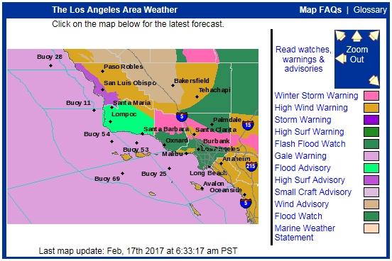
Here are some forecast rain totals for today and tomorrow (Friday night being the heaviest). Continue reading
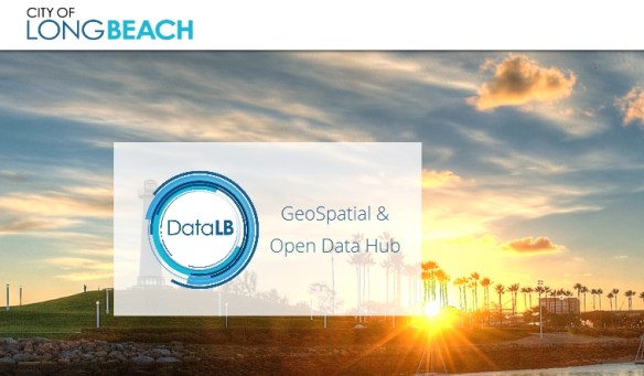
In January, the City of Long Beach launched an open data portal that aims to give the public clear, visual information they can use. In addition to maps, DataLB provides access to applications that put city data in context.
Developed with ESRI, DataLB’s applications focus on visualizing the impact of initiatives and public investments. Check it out!
Thanks goes to LA County GIS for finding this one. Here are the top 14 maps and charts that explain Valentine’s Day.
After almost 80 years in business, the owner of The Map Store in Milwaukee will be closing the doors in April. Read about the owner and the store history, and maybe buy a few maps before they close! Click below for the story.

Do you gather GPS points while you are running? If so, here is an article about the best way to symbolize your point data to show your running information.

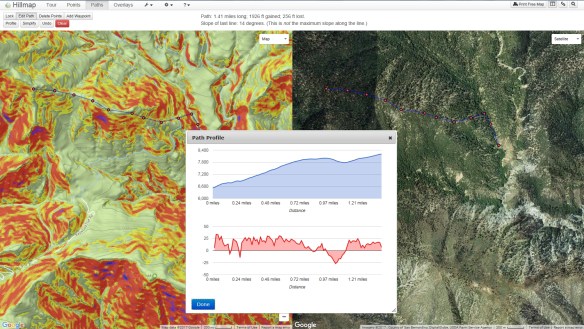
Hillmap is a web based mapping app that lets you create and print free, customizable maps from high quality map layers. You can also use Hillmap tools to calculate slope and distance, check the weather at your destination, analyze snowpack, and more.
This app is definitely handy to calculate your hiking route and check on the slope. You can also turn on multiple overlays, like slope, weather radar, and other map information. Give it a spin!