Here are some new enhancements to ArcGIS Earth:
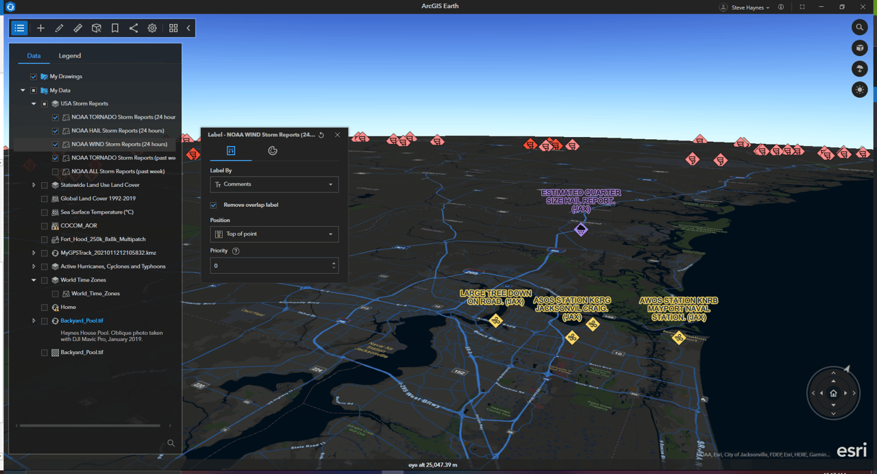
- The new on-screen navigation controller offers a more flexible navigation of the globe by adding zoom functionality, viewport navigation, vantage point, and orientation control into a sleek and user-friendly on-screen component. It’s also great for navigating on laptops without a mouse!
- Vector tile layers have been a highly requested and long-awaited addition to ArcGIS Earth—now you can add vector tile layers to the My Data or Startup layer folders or set them as the basemap, depending on the data and what suits your workflow.
- With the new 3D labeling capability in ArcGIS Earth, you can customize the style and visualization of 3D labels on the fly and set the label position and style in a 3D global view.
Click below to read the latest on new features and functionality including KML, multi-selection and batch editing, and attribute tables.