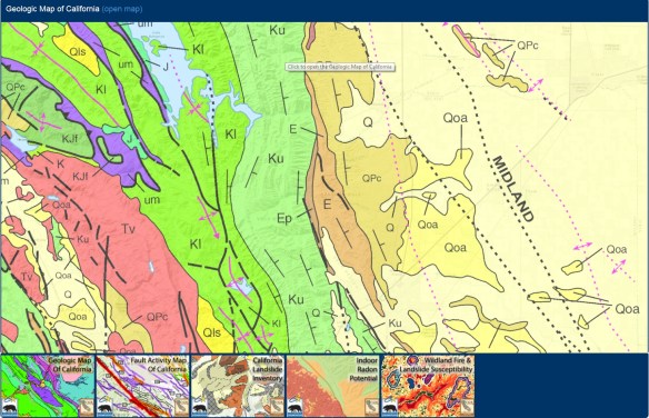
The California Department of Conservation (DOC) unveiled a new geospatial data and map website, DOC Maps, to provide easy access to its collection of GIS managed spatial data. DOC has GIS managed data about geology, seismic hazards, mineral resources, mining, agriculture, land use, oil, gas, and geothermal energy.
DOC Maps provides access to more than 1000 GIS datasets, 15 interactive web maps, and 14 data services, all with supporting documentation. Check it out!