SoCal Was Almost Colorado

Not too long, in the 1800’s, the south half of California almost became a state named Colorado!

southcalifornia

The proposal was authored by Andres Pico, a wealthy landowner.  Pico was a Californio, part of the Spanish culture that had first settled in the region in the 1700’s.

Long before Americans arrived in the far West, Californio agriculture and trade were thriving.  Their problem was the lure of gold.  Once the first nugget was discovered in the region in 1848, hordes of settlers rushed to northern California.  The Californios were quickly outnumbered, and that’s what led Pico to push for separation.  Of course, Pico’s plan would not be the last attempt to split California.  California has been the subject of more than 220 proposals to divide it into multiple states since its admission to the union in 1850, including at least 27 significant proposals in the first 150 years of statehood.  Pico brought California the closest to separation and never again would a plan have such widespread support.  The state legislature, the governor, and the residents were all on board for this one!

Pico’s proposal suggested calling the new state “Colorado”, which by the way ranks among the most coveted state names ever.  Votes were taken and the matter was sent to Washington, D.C., for final approval.

BUT … Congress was not listening because they were preoccupied with a tiny matter called the Civil War.  It did not happen yet, the year was 1859, but tensions were rising.  The folks in Washington just were not interested in California’s plan to slice itself in half.

After southern California’s rebranding attempt failed, the Arizona territory laid its plans to rename itself “Colorado”, however the rectangular state to the north beat them to the prize!
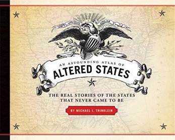
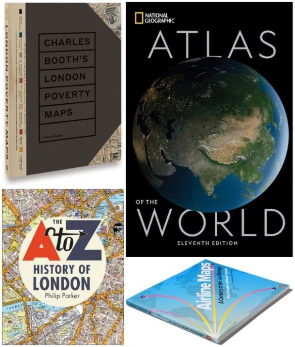
61hdx2kt19lThis piece of trivia was taken from the book, An Astounding Atlas of Altered States: The Real Stories of the States That Never Came To Be.  Could be a great gift for someone you know!


The Ultimate Christmas Gift

OK, this might not be the ultimate Christmas gift for some, however if your loved one loves maps and globes … and LEGOs, then this is the ULTIMATE CHRISTMAS GIFT!!!!

You need to get them a LEGO Globe kit!  Even the stand for the globe is made of LEGOs!  It’s a piece of art for display and geography purposes!  There is no excuse!  And you can get the globe in different color schemes.  It’s not cheap, expect to spend over $800 … your loved one is worth it!  Check it out.  Only 19 shopping days left before Christmas! 😮

legoglobe

Mapping Indigenous LA

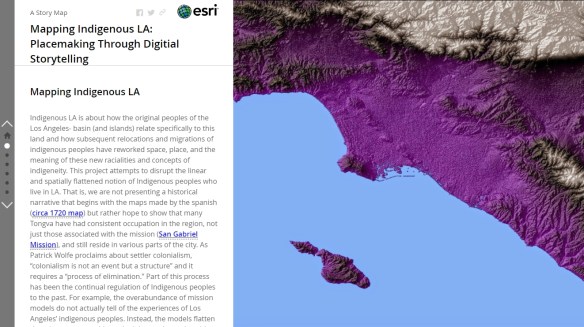
The Mapping Indigenous Los Angeles project from the University of California Los Angeles is creating a series of story maps that bring together a variety of stakeholders to help highlight “multiple layers” of diversity and identity.  At the heart of the site are the story maps themselves, which unfold to reveal the complex history of place and the Indigenous peoples who have helped shape and been shaped by them.  The story maps vary in length and depth, but all feature a variety of text, photos, podcasts, and other materials that help viewers immerse themselves in the subject matter and deepen their understanding.  Check it out!

mapindigenousla

GIS Day Next Week

GIS Day 2019 is almost upon us.  If you have an event and want to get the word out, send an announcement request through the About page and I will get it posted right away.

Here is one for the City of Irvine.  They are celebrating GIS Day on November 14.

The big one at LA County will happen on November 13.

GIS Day will be celebrated at a number of colleges like: Pierce College, CSUN, and USC.

Channel Islands Regional GIS Collaborative (CIRGIS) will have GIS Day on December 6 at Ventura College.  The keynote speaker will be Michael Goodchild.

Also make sure to register your event on the GIS Day website.


98 Map Projections

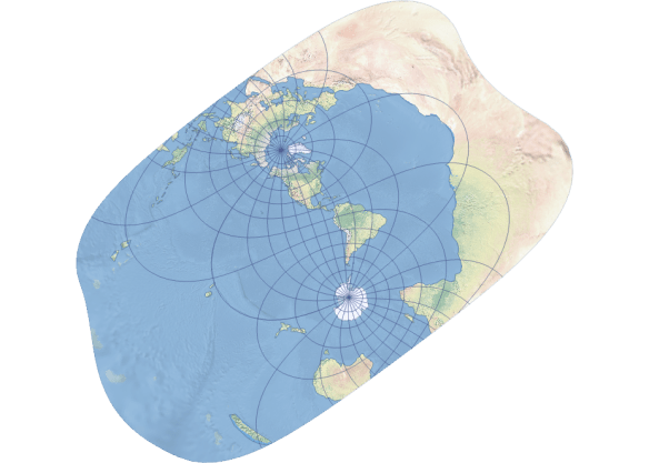
If you work with GIS in a local government, you usually do not get to try out some of those more interesting map projections.  If you deal with world data, then you might get to use them.  Like this one, the Rectified Skew Orthomorphic:

1559695013280

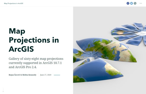
With ArcGIS 10.7.1 and ArcGIS Pro 2.4, you have access to 68 unique map projection algorithms and another 30 variations, 98 in total!  Check out this story map showing a gallery of the 68 supported map projections, from Aitoff to Winkel Tripel.

68mapprojections

The Large and Goodly Island of California

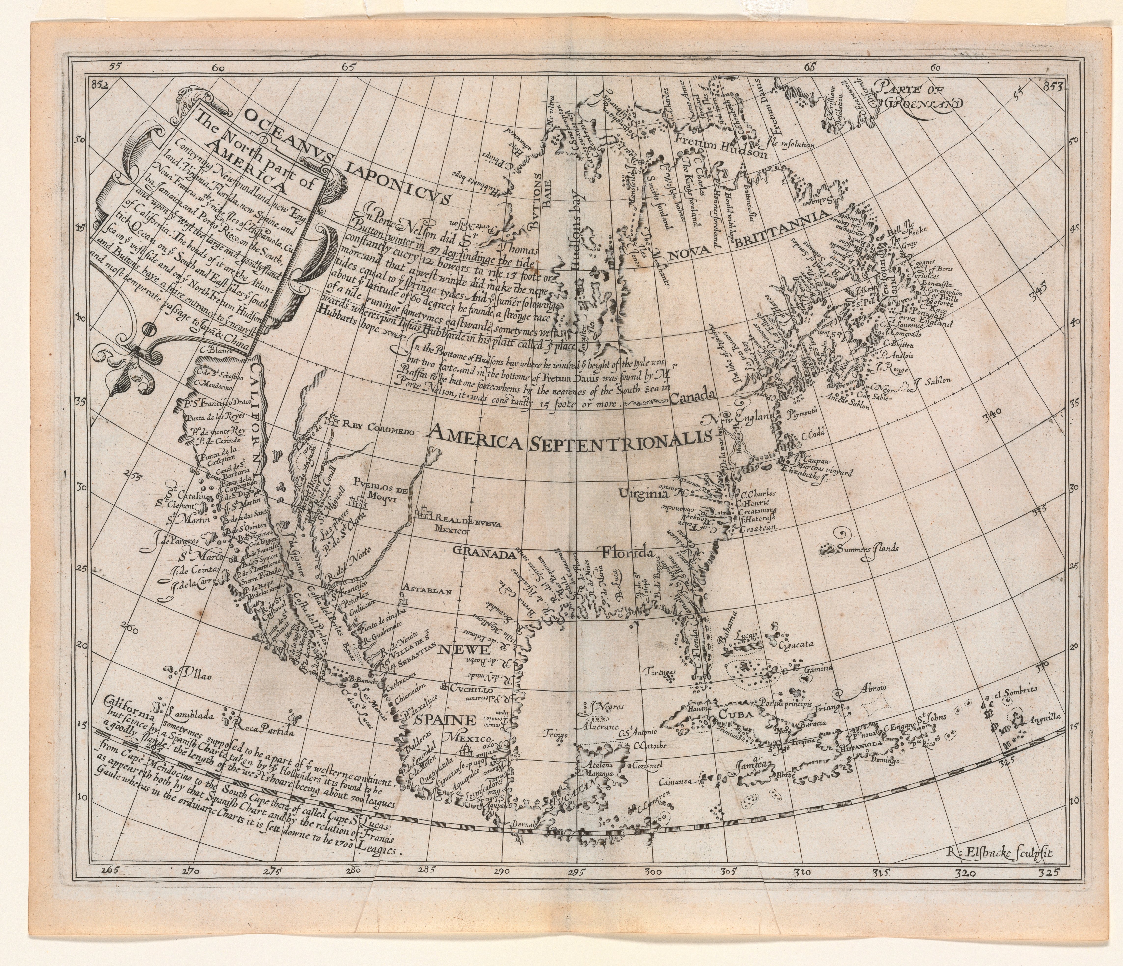
BriggsNorthAmerica1625This 1625 map by British mathematician Henry Briggs initiated one of the most famous of all cartographic misconceptions, California as an island, which persisted until the end of the 17th century. This idea is thought to have originated with the Carmelite friar, Antonio de la Ascension who accompanied Sebastian Vizcaino on his West Coast expedition of 1602-03, and wrote an account of the trip. About 1620, it is believed that Father Ascension drew a map depicting California as an island and dispatched it by ship to Spain. The ship was captured by the Dutch and the chart taken to Amsterdam.

In 1622, California appeared as an island on two title page vignettes published in Amsterdam by Michiel Colijon: Jacob le Maire’s Spieghel Der Australische Navigatie and Antonio de Herrera’s Descriptio Indw Occidentalis. That same year in London, Henry Briggs published an article entitled “A treatise of the Northwest Passage to the South Sea, through the Continent of Virginia, and by Fretum Hudson.” Briggs claimed to have seen a map in London brought from Holland showing California as an island. His article was republished slightly modified in 1625 in Purchas’ Pilgrimes, and was accompanied by this map supposedly drawn from the one “taken by Hollanders.” A similar map engraved by Abraham Goos was inserted into a small book published in 1624 in Amsterdam. Although dated earlier, it is likely that this map used the Briggs map as a source.

Briggs’ map quickly became a model for others. John Speed copied it in 1626-7 as did Joannes Jansson in 1638, and soon nearly all European cartographers depicted California as an island. One purpose of the map was to suggest the probability of a short passage from Hudson Bay to the Pacific Ocean, which was enhanced cartographically by the absence of a northern coast and land to the west, which were common features of maps up to that time.

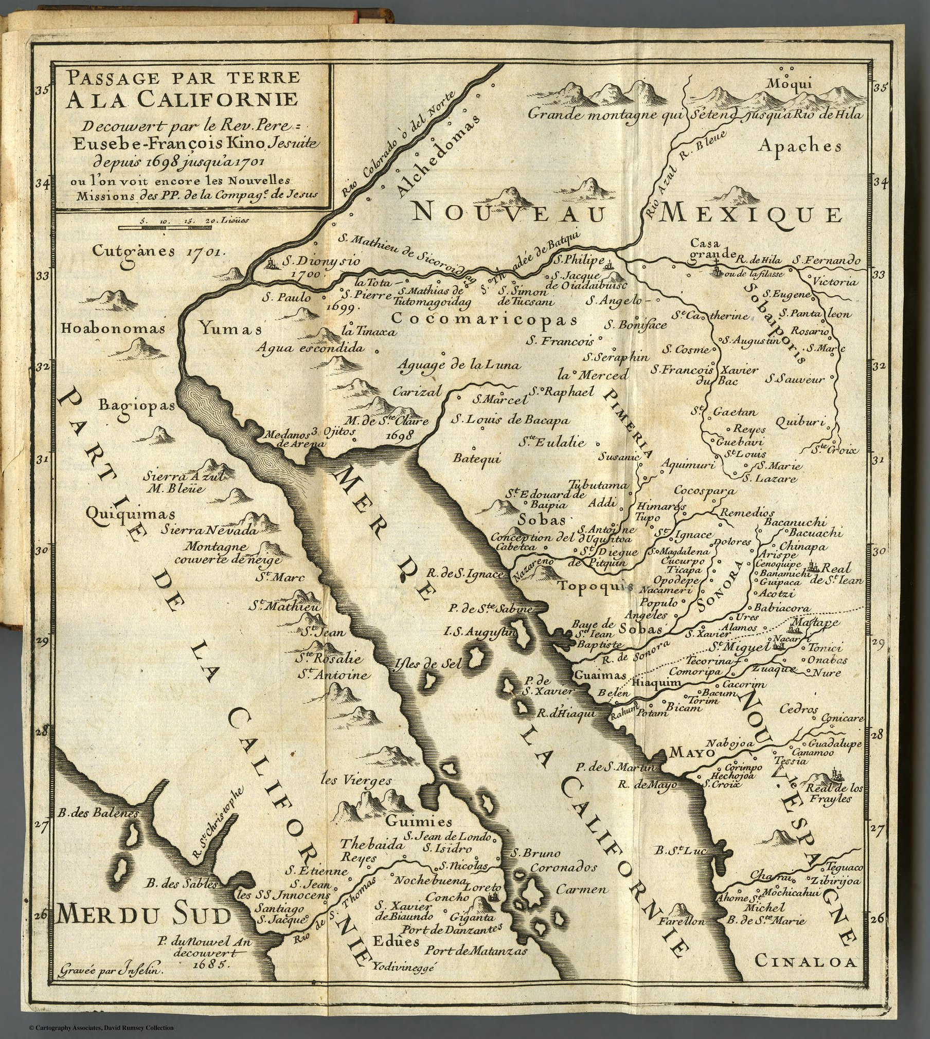
11561004A Jesuit friar, Eusebio Kino, was the first to offer proof against the island theory using the map he compiled in 1701, which was printed in 1705 in Paris. Kino’s map was not readily accepted and it eventually required a royal decree by Ferdinand VII of Spain in 1747 to state that “California is not an Island.”

(text from CaliforniaMapSociety.org)

A History of California Wildfires

Check out this interactive map that shows the perimeters of wildfires that have burned in California from 1878 to 2018 using data from the California Department of Forestry and Fire Protection and the U.S. Geological Survey. The wildfires are categorized by the year in which they started. Perimeter information from fires that started between 1878 and 2017 comes from Cal Fire, while information on the Thomas Fire and fires that started in 2018 comes from the USGS.

calfirewildfires