ArcGIS Online Organization Home Page

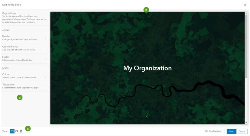
If you have an ArcGIS Online for Organizations account, ESRI will be pushing out an update that will change your home page. If you do not switch to the new home page or request an extension (good to September 2022), your old (legacy) home page will be automatically replaced with a default home page at the next ArcGIS Online update, planned for March 22, 2022. To ensure that your home page looks and performs as desired, transition to the new home page before the legacy home page is automatically replaced. Organizations that do not use the ArcGIS Online home page as a landing page will be automatically transitioned to the default home page. No further action is required.

For more information and how to change your home page with the new editor, click below.

ArcGIS Online Update March 22

ESRI will be updating ArcGIS Online on March 22, 5pm to midnight (PDT).

Update Highlights

Mapping

  • Editing enhancements including snapping controls and additional capabilities in the editor pane
  • Ability to duplicate feature layers in Map Viewer to customize the configuration of a layer without affecting the configuration of the source layer
  • New nested group capability, simplifying visualization and review of complex data

Content and Member Management

  • Administrators can allow members to transfer their own content to other members of the organization. 
  • Administrators can set up member categories to make it easy for the organization’s members to find each other by searching characteristics such as department or project.

Interact with Maps and Data Using ArcGIS Instant Apps

  • Exhibit, a new app template, follows a sequential order as it guides your audience through a map and tells a story with interactive slides.
  • Portfolio includes two new layouts for additional flexibility as you build one app to showcase maps, apps, and web pages about a topic or location. 
  • Attachment Viewer allows viewers to update the attribute information of the attached images or videos while navigating through each feature.

Home Page Replacement

Legacy ArcGIS Online home pages will automatically be replaced with a new default home page unless the administrator requests an extension through the Organization page. Transition to the new home page to ensure that your home page looks and performs as desired.

Early Adopter Community

Would you like to try the features planned for the upcoming ArcGIS Online update? Sign up for the ArcGIS Online Early Adopter Community (EAC) with your ArcGIS Online login. Within the ArcGIS Online testing environment, EAC members can try upcoming features, test compatibility with their existing workflows, influence product development, and engage with the ArcGIS Online development team and other members of the EAC.

Time to Upgrade to new ArcGIS Basemap Layer Service

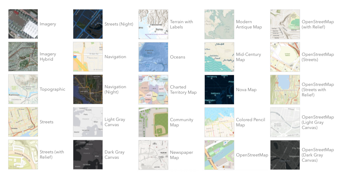
If you are using the legacy ArcGIS Online tile services in your apps and maps, then it’s time to upgrade to the new ArcGIS basemap layer service. The legacy tile services are in mature status and are no longer being updated. April 30, 2022 is the deadline to upgrade to the new services. Click below for more information and how to upgrade to the new services.

WindNinja Mobile

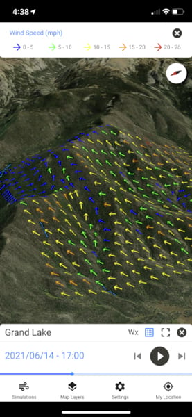
If you are a firefighter, you might find WindNinja Mobile a great tool to have while out in the field. WindNinja Mobile, which can be downloaded for free from app marketplaces such as the Apple App Store and Google Play, was mainly created for firefighters with mobile devices or tablets who need to quickly compute and visualize wind direction and speed simulations. Click below to read an article about it.

Cartography MOOC

Thousands of GIS professionals have signed up for ESRI’s free online course to learn how to make beautiful maps using ArcGIS Pro. If you’re interested in exploring the cartographer’s craft and trying out the latest ArcGIS Pro mapping tools, you are invited to join the course too.

In the course, ESRI’s top cartographers review essential mapping concepts and share tips and techniques to create accurate maps that showcase your data and analysis results.

The course includes the following:

  • Step-by-step exercises, videos, quizzes, and discussion
  • Access to ArcGIS Pro and ArcGIS Online software
  • Certificate of completion

Join the course, get inspired, and do more with maps. The course runs from February 16 to March 30. Click here for more info and to register for the course.

CalURISA workshop on GIS Program Management

Virtual workshop, February 23rd, click here for more info and to register.

The California Chapter of URISA is pleased to offer its current members a virtual workshop designed to provide insights and guidelines for managing private industry and public agency GIS programs. This professional development opportunity will look at the various organizational and technical issues program managers must address in order to develop a successful GIS program. The course material will cover all aspects of GIS project and on-going program management including such areas as:

  • strategic and implementation planning
  • budgeting and financial management
  • business case development and cost-benefit evaluation
  • team building and human resources -important technical management issues
  • product/service procurement and vendor/contract management and
  • important legal and policy issues for GIS project and program management

The workshop will focus on practical issues and challenges faced by GIS managers. It is structured to allow adequate time to discuss important topics and for attendees to ask questions and present their own experiences.

Interested? Here are the details:

  • The workshop will be presented on Zoom. The connection information and other details will be emailed to those registered, and certificates of completion will be provided.
  • To register for this workshop, please make sure that your URISA membership is current for 2022. Join or renew at https://www.urisa.org/membership/get-plugged-in/.