So my gas station is now at $5.99 per gallon in a county with an average of $5.84. How about yours? Using the map app on AAA, looks like some counties in South Dakota are paying around $3.46! Just click on a state to see more detail. Check it out.


So my gas station is now at $5.99 per gallon in a county with an average of $5.84. How about yours? Using the map app on AAA, looks like some counties in South Dakota are paying around $3.46! Just click on a state to see more detail. Check it out.
ESRI will be updating ArcGIS Online on March 22, 5pm to midnight (PDT).
Update Highlights
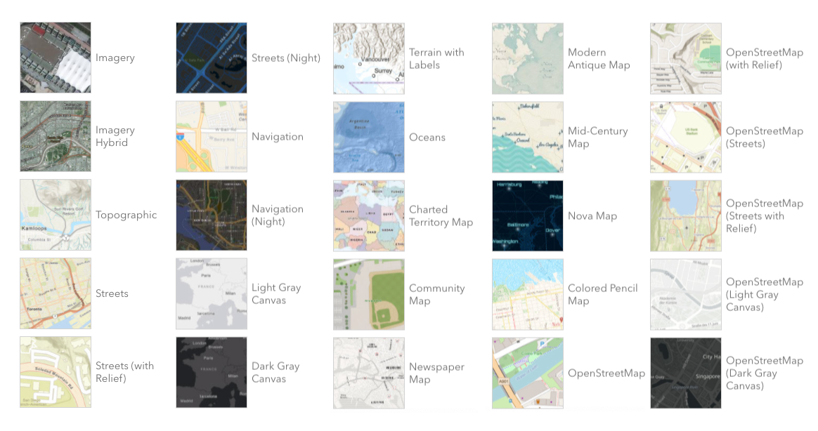
Mapping
Content and Member Management
Interact with Maps and Data Using ArcGIS Instant Apps
Home Page Replacement
Legacy ArcGIS Online home pages will automatically be replaced with a new default home page unless the administrator requests an extension through the Organization page. Transition to the new home page to ensure that your home page looks and performs as desired.
Early Adopter Community
Would you like to try the features planned for the upcoming ArcGIS Online update? Sign up for the ArcGIS Online Early Adopter Community (EAC) with your ArcGIS Online login. Within the ArcGIS Online testing environment, EAC members can try upcoming features, test compatibility with their existing workflows, influence product development, and engage with the ArcGIS Online development team and other members of the EAC.
If you are using the legacy ArcGIS Online tile services in your apps and maps, then it’s time to upgrade to the new ArcGIS basemap layer service. The legacy tile services are in mature status and are no longer being updated. April 30, 2022 is the deadline to upgrade to the new services. Click below for more information and how to upgrade to the new services.
Thousands of GIS professionals have signed up for ESRI’s free online course to learn how to make beautiful maps using ArcGIS Pro. If you’re interested in exploring the cartographer’s craft and trying out the latest ArcGIS Pro mapping tools, you are invited to join the course too.
In the course, ESRI’s top cartographers review essential mapping concepts and share tips and techniques to create accurate maps that showcase your data and analysis results.
The course includes the following:
Join the course, get inspired, and do more with maps. The course runs from February 16 to March 30. Click here for more info and to register for the course.
Virtual workshop, February 23rd, click here for more info and to register.
The California Chapter of URISA is pleased to offer its current members a virtual workshop designed to provide insights and guidelines for managing private industry and public agency GIS programs. This professional development opportunity will look at the various organizational and technical issues program managers must address in order to develop a successful GIS program. The course material will cover all aspects of GIS project and on-going program management including such areas as:
The workshop will focus on practical issues and challenges faced by GIS managers. It is structured to allow adequate time to discuss important topics and for attendees to ask questions and present their own experiences.
Interested? Here are the details:
Submit Your Idea for an ArcGIS StoryMap!
The Southern California Association of Governments (SCAG) is excited to announce a major opportunity for college and university students in the region. The 2022 Student Showcase is a storymapping competition that challenges students to think innovatively and compete for cash prizes in two award categories: Best in Show and Audience Awards.
Student participants are invited to conceptualize, create and submit ArcGIS StoryMaps using SCAG’s open data. This is a meaningful way to tell a story or provide insight, showcase plans and projects, engage supporters and stakeholders, illustrate the possibilities of data, and highlight the usefulness of open data at the regional level.
Students are instructed to submit abstracts of their projects by Feb. 22, and if selected, SCAG will request an ArcGIS StoryMap to be submitted. In all, there will be a total of $6,000 awarded (one $2,000 first-place prize and one runner-up $1,000 prize each per category).
For more information on the 2022 Student Showcase, including the program guidelines, visit scag.ca.gov/student-showcase.
Learning GIS is an important skill set, but the goal is to understand an issue or problem in a deeper, more holistic way, and then take action about the issue or communicate that issue to others.
Besides spatial and critical thinking, check out these top 10 educational benefits for students who use GIS.
If you are involved in teaching Geography/GIS at the community college level, you should check out this article.
… much of the growth of geography at the community college level is driven by the demand for GIS certifications and technical skill sets that can be acquired at two-year colleges.
The Education Workgroup of the California GIS Council is interested in gaining an understanding of how we can benefit the larger GIS Council and provide a bridge between the professional GIS community and the education community. Specifically, we are looking to 1) obtain input from current GIS professionals to inform specific aspects of curriculum development in the geospatial science fields, and 2) develop better connections between professional opportunities and students, faculty, and researchers.
Please consider participating in this short SURVEY (5-10 minutes). Your responses will not be visible to council members outside of the Education Workgroup, but we will compile them and share anonymous summaries at a later date. Your responses will be saved automatically, so you can return later to edit them.
Survey closing date is February 28, 2022
Questions? Please email: CAGISCouncil.EdWorkgroup@gmail.com
We thank you in advance for participating. We really appreciate your time and input!
Get caught up on the latest legislation and policy news compiled by the GIS Council Policy Advisory Workgroup. Click here for more info.
