ArcGIS Earth New Release

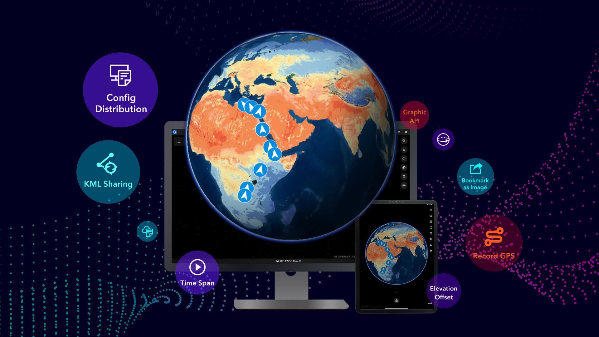
There is a new release of ArcGIS Earth. This is a major release for ArcGIS Earth on desktop, bringing users more capabilities for sharing data as well as configuration settings–from mobile, to desktop, to the organization portal. Mobile users will also get a new release of the ArcGIS Earth app later this month. Click below to read more.

You can download ArcGIS Earth here.

NAIP 2020 Now Available

The USDA National Aerial Imagery Program (NAIP) has 2020 California aerial imagery services available. Also provided are services for earlier NAIP years and links to source data downloads and related files containing specific imagery dates. Click below for more info and links to the image services.

2021 NGS Geospatial Summit

Registration is open for the next National Geodetic Survey (NGS) Geospatial Summit, taking place online on May 4-5, 2021, from 1:00 – 5:00 pm, ET. NGS strongly encourages attendees to participate on both days.

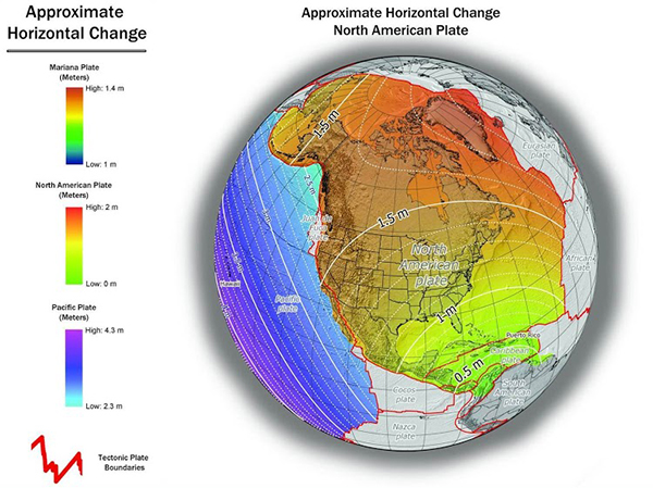
The NGS plans to replace the North American Datum of 1983 (NAD 83) and the North American Vertical Datum of 1988 (NAVD 88) as part of modernizing the National Spatial Reference System (NSRS).

Attend this year’s Geospatial Summit to: 

  • Learn the benefits of NSRS modernization, 
  • Hear about NSRS modernization progress, 
  • Prepare for how the transition will affect you, 
  • Ask questions of NGS experts, and 
  • Share your feedback about the planned changes.

The summit is free for everyone to attend. Click below for more info and to register.

LARIAC6 Data Projection

Burbank just got their LARIAC6 imagery. The projection that was used is a little different. It did catch me by surprise when I was comparing it to LARIAC5 imagery.

LARIAC5 – NAD_1983_StatePlane_California_V_FIPS_0405_Feet
LARIAC6 – NAD_1983_2011_StatePlane_California_V_FIPS_0405_Ft_US

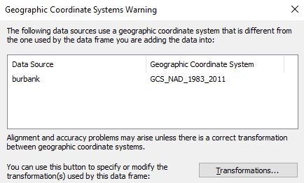
Just enough to make ArcGIS Desktop complain!

NAD 83 (2011) is a new NAD 83 “realization”. It does not use a new datum. It is a refinement of the NAD 83 datum using data from a network of very accurate GPS receivers at Continuously Operating Reference Stations (CORS). From the point of view of GIS use, the difference is very slight and it will not be an issue when overlaying your older NAD 83 data.

Webinar – ArcGIS Platform

Earlier this year, ESRI launched a new product called ArcGIS Platform, a platform-as-a-service (PaaS) offering that makes it easier to integrate ESRI location services into apps, solutions, and business systems. As a GIS professional, you already realize the benefits of GIS. However, it can be a challenge when developers in your organization need location services but are not familiar with the ArcGIS system or require the additional functionality provided by it. With ArcGIS Platform, developers and IT professionals can take advantage of location services—including basemaps, routing, geocoding, data, and geoenrichment—within their development environment through an industry-standard development experience, instead of needing a stand-alone set of services. This month, the ESRI state and local government team will present the following:

  • How this new product will make it easier for developers to integrate our location services into their apps and business systems
  • The immediate benefits of adopting these new capabilities including easily accessible services and a metered transaction business model
  • How GIS professionals can communicate the benefits and capabilities of ArcGIS Platform to the developers they work with

The webinar is March 17 at 10am. For more info and to register, click here.