Didn’t get to go to the ESRI Developer Summit in Palm Springs? Here is a recap of the top technology takeaways with some videos as well. Looks like ArcGIS API 4.0 for JavaScript and Vector Tile Maps will be a big thing this year. Check it out.
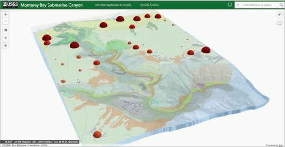
Didn’t get to go to the ESRI Developer Summit in Palm Springs? Here is a recap of the top technology takeaways with some videos as well. Looks like ArcGIS API 4.0 for JavaScript and Vector Tile Maps will be a big thing this year. Check it out.
The National Geodetic Survey (NGS) deployed the NOAA Office of Marine and Aviation Operation’s King Air aircraft to complete the collection of geo-referenced oblique imagery of the West Coast. More than 3,000 images were collected from the U.S.-Mexico border to Cape Flattery, WA. The imagery will be used to assess impacts of the ongoing El Niño event in several NOS mission areas, including navigation and coastal zone management. Continue reading
Check out this article about how Google Maps has changed from emphasizing cities at the expense of roads to emphasizing the road network at the expense of cities. Also the article shows how a 1960’s era paper map does a better job balancing roads and city names.

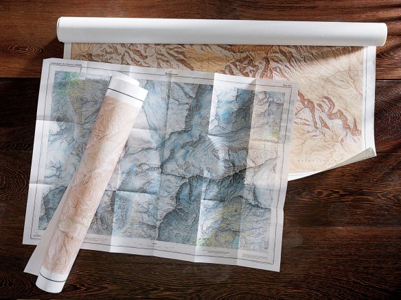
At the close of the Second World War, the United States government embarked on an enormous artistic enterprise. It is estimated to have cost nearly $3 billion and, at its height, employed more than 2,000 people. I am talking about the topographic mapping program of the United States Geological Survey.
Read more on the New York Times Magazine website by clicking below.
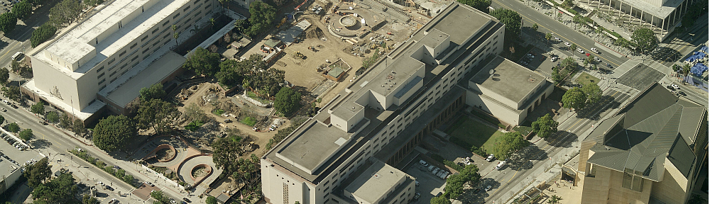
If you live in LA, then you might be interested in this interactive map. As part of the LA’s Clean Streets initiative, the City’s Bureau of Sanitation drove all of LA’s public streets and alleys, travelling over 22,000 miles, and gave each block a “cleanliness score” from 1-3, 1 being Clean, 2 Somewhat clean, and 3 Not clean. Continue reading
LA County GIS has published its GIS data catalog in a nice table format to make it easier to find the data you are looking for. Check out the post about it here.
The American Society of Photogrammetry and Remote Sensing (ASPRS) has a new tool and is provided as a free service to the communities that utilize aerial photography. The tool is called the ASPRS Aerial Data Catalog and is a means to locate aerial photography from private companies, universities, states, NGOs, and federal sources. The catalog contains metadata allowing users to determine if coverage exists over an area of interest. The acquisition date, film type, sensor type, and scale are also provided along with the supplier contact information. Continue reading
Check out this interactive Zika Virus Outbreak map and timeline. You can map other outbreaks as well from their main page at Healthmap.org.

The Next-Generation Air Transportation System (NextGen) will most likely bring more aircraft noise to Southern California. Residents of Mar Vista, Culver City, Santa Monica, and Pacific Palisades already are noticing jets flying in and out at lower altitudes and more often. This is because the NextGen system uses satellites instead of air traffic controllers for precision separation of aircraft, allowing them to fly at lower altitudes and much closer together for landings and departures. Continue reading
I found this article about what caused Haiti’s cholera epidemic VERY interesting. The tie in with the CDC map is chilling. Click below to read.

