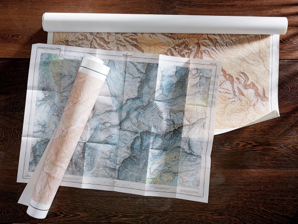
The USGS Artistic Enterprise

At the close of the Second World War, the United States government embarked on an enormous artistic enterprise. It is estimated to have cost nearly $3 billion and, at its height, employed more than 2,000 people. I am talking about the topographic mapping program of the United States Geological Survey.

Read more on the New York Times Magazine website by clicking below.

15mag-15lor-t_ca0-superjumbo

ASPRS Aerial Data Catalog

The American Society of Photogrammetry and Remote Sensing (ASPRS) has a new tool and is provided as a free service to the communities that utilize aerial photography. The tool is called the ASPRS Aerial Data Catalog and is a means to locate aerial photography from private companies, universities, states, NGOs, and federal sources.  The catalog contains metadata allowing users to determine if coverage exists over an area of interest.  The acquisition date, film type, sensor type, and scale are also provided along with the supplier contact information. Continue reading

NextGen Brings More Aircraft Noise to SoCal

The Next-Generation Air Transportation System (NextGen) will most likely bring more aircraft noise to Southern California.  Residents of Mar Vista, Culver City, Santa Monica, and Pacific Palisades already are noticing jets flying in and out at lower altitudes and more often.  This is because the NextGen system uses satellites instead of air traffic controllers for precision separation of aircraft, allowing them to fly at lower altitudes and much closer together for landings and departures.  Continue reading