A Request for Maps/Screen Shots

Every semester, I give my GIS students (generally planners and public administrators) a rundown of how GIS is being used in our communities. At the Esri conference this year, I saw many new applications and thought I’d ask my colleagues what they are doing now with GIS. If you could send me a map, picture, screen shot or something similar along with a sentence or two of what you are doing, I’d be delighted to have it. I will be happy to share when it is all compiled. You can reach me at barrywaite@outlook.com. The focus is on how we use GIS to solve problems.

By the way, for those of you who hadn’t heard, I have graduated from the City of Carson after 29 years. I’m thinking of becoming a cowboy or an astronaut, but I’ll keep teaching and want to stay in contact with all my GIS friends!

Many thanks!

Barry Waite
Instructor, USC Price School of Public Policy

Do-It-Yourself Geo Apps

ESRI is having another free MOOC on building apps.  This course will show you how to combine location and narrative in one application to better communicate and broadcast your story, create custom web applications that solve problems in your community, and build powerful native applications for iOS and Android devices without touching a piece of code. If you are a developer, you’ll be interested in ESRI’s APIs, SDKs, and the buzzing GeoDev community.

The free course goes on for 4 weeks (July 20 to August 17) and you will receive a certificate of completion and awards.  Check out the syllabus and sign up if you are interested.

esrimooc

New GIS Book Call For Chapters

Dear Colleagues,

We would like to invite you to submit a chapter for the book “Volunteered Geographic Information and the Future of Geospatial Data”, scheduled for release in 2017.

For further information, please visit http://www.igi-global.com/publish/call-for-papers/call-details/1945 .

Submission proposal deadline: May 14, 2016 (1-page proposal).

Please kindly help circulate this call among your colleagues and students who may be interested.

Dr. Claudio Campelo, UFCG, Brazil
Dr. Michela Bertolotto, UCD, Ireland
Dr. Padraig Corcoran, Cardiff University, UK

(Editors)

Free ArcGIS Online Spatial Analysis Course

Learn what spatial analysis can do for you with a free online course from ESRI.  The course is for people who know something about spatial analysis and want to learn what ArcGIS Online has to offer.  You will get free access to the full analytical capabilities of ArcGIS Online during the course:

  • Hands-on exercises, short video lectures, quizzes, case studies, and discussion
  • Six weeks, two to three hours of study per week
  • Certificate of completion and awards
  • Course dates: May 11 – June 22, 2016

Sign up today!

Free Python Stuff

Looking for free basic Python training?  Check out these free webinars:

  1. 7 Reasons All GIS Professionals Should Learn How to Program with Python
  2. Creating Variables and Assigning Data
  3. Basic Python Statements
  4. Creating and Using Functions in Python
  5. Using Advanced Python Data Structures (Lists, Tuples, Dictionaries)
  6. Using Advanced Python Data Structures (Classes and Objects)
  7. Reading and Writing Text Files with Python
  8. Introduction to ArcPy
  9. Building GUI Applications for ArcGIS Desktop with Python – Part 1
  10. Building GUI Applications for ArcGIS Desktop with Python – Part 2

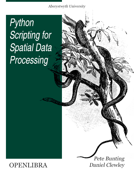
Looking for a free Python book?  Check this one out!

python-scripting-for-spatial-data-processing-openlibra

USGS Crowd-Sourced Structures Data Webinar

This is a reminder that U.S. Geological Survey is hosting a webinar next week on our Volunteered Geographic Information (VGI) program. VGI provides an editing environment that allows interested persons to add, delete, and modify certain structures in the USGS structures database. The online VGI editor is based on the popular Open Street Map interface and anyone who is interested can sign up for an account to help us update structures and improve the quality of our data for future release to the public.

Structure types available for editing include schools, colleges/universities, fire/EMS stations, police stations, correctional facilities, state capitol buildings, hospitals, ambulance services, cemeteries, and post offices. Continue reading →

Webinar: USGS Structures Database

Hello Everyone:

USGS has a program underway to receive and review crowdsourced data for certain building structure types.  Our National Map Corps is managing the Volunteered Geographic Information (VGI) program.  VGI provides an editing environment that allows interested persons to add, delete, and modify structures in the USGS structures database.  The online VGI editor is based on the popular Open Street Map interface and anyone who is interested can sign up for an account to help us update structures and improve the quality of our data for future release to the public.

Structure types available for editing include schools, colleges/universities, fire/EMS stations, police stations, correctional facilities, state capitol buildings, hospitals, ambulance services, cemeteries, and post offices.

The VGI effort covers all 50 states (though not the Pacific Territories).  Your Pacific Region National Map liaisons plan to host a webinar to introduce the VGI program to anyone who is interested in possibly contributing their knowledge of structures to our mapping program.  Data contributed through VGI will be vetted by USGS and will reside in the USGS structures dataset.  The structures data are available to the public and also appear on USGS products such as new US Topo maps (http://nationalmap.gov/ustopo/index.html)

To read the latest on VGI and help whet your appetite for contributing data please see the VGI newsletters here:  http://nationalmap.gov/TheNationalMapCorps/newsletters.html

We are planning to offer this one hour webinar on Thursday, March 31 at 1:00 PM PDT (1:00 PM MST, 10:00 AM HST).  To attend this meeting, you must first register for it.  Please click this link to see more information, and register for the meeting.

https://usgs.webex.com/usgs/j.php?RGID=rae74b50d93b96bc85f825658d822c340

Once you have registered for the meeting, you will receive an email message confirming your registration.  This message will provide the information that you need to join the webinar.

Thanks and please contact us with any questions,

Carol Ostergren
Drew Decker

—————————————————————–

Drew Decker
National Map Liaison for Pacific Region
U.S. Geological Survey
4165 Spruance Road
San Diego, CA 92101
619-225-6430
ddecker@usgs.gov
USNG 11S MS 8026 2158

Carol Ostergren
US Geological Survey National Geospatial Program
CSUS—Placer Hall
6000 J Street Sacramento, CA 95819-6129
916-278-9510
costergren@usgs.gov