Join MaptimeLA on July 20th when they visit the Los Angeles Central Library to check out the library’s huge map collection! Click below for more info.
Category Archives: Conferences/Meetings
ArcGIS Server Road Ahead
Here are some of my notes from a Road Ahead session on ArcGIS Server today.
- 10.5 will be a massive release
- Builds on 10.4/10.4.1 quality and features
- Distributed Web GIS pattern
- Support big data analytics
- DevOps friendly
As for distributed Web GIS: Continue reading
ArcGIS Desktop Road Ahead
Here are a few notes I jotted down while at the Road Ahead workshop for ArcGIS Desktop.
10.5 at the end of the year Continue reading
ArcGIS Vector Tiles
After watching a drone fly around in a cage at the ESRI conference, I decided to head upstairs to the technical workshop about creating vector tiles. Here are a few things about them that you should know. Continue reading
ESRI User Conference 2016
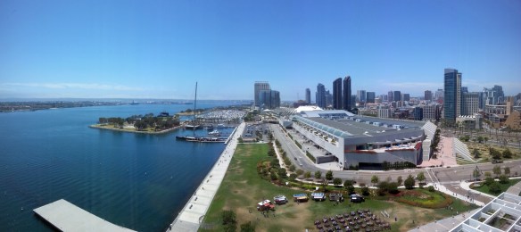
The 2016 ESRI User Conference got off to a great start today in beautiful downtown San Diego.

Instead of giving you a blow by blow of what happened today in the Plenary, you can just watch it here.
ESRI UC 2016 Q&A
Q: When will ArcGIS Pro support parcel editing?
A: ArcGIS Pro supports simple feature editing now and is adding topology support at 1.3. We expect full parcel support to be available next year.
Each year ESRI creates a set of questions and answers for the User Conference in San Diego. This information is designed to help you understand the latest enhancements to ESRI technology, emerging trends for GIS for your industry, and the road ahead for ArcGIS software. Check it out.
ArcGIS for Local Gov at ESRI Conference
The 2016 ESRI User Conference in San Diego is just a week away. If you are using or plan to use some of the offerings in the ArcGIS for Local Government suite, check out these technical sessions and demos during the conference.
Also, you can check out the conference schedule to plan your week.
CalGIS 2016 Thoughts and Tweets
CCEA Meeting
Add April 7th to your calendars for the City and County Engineers Association (CCEA) meeting.
Time: Social – 11:30am to Noon, Buffet Lunch – Noon to 12:45pm, Program – 12:45pm to 1:30pm
Place: Luminarias Restaurant, 3500 Ramona Boulevard, Monterey Park, CA, 91754, (323) 268-4177
Cost: $30 – Members, $35 – Non-members, $15 – Students
Program: Marianne Jeffers, Section Head, LA County Mapping and GIS Services and Mark Greninger, Geographic Information Officer, LA County – “How LA County Public Works Improves Services with GIS”
OpenStreetMap Mapathon
Hi SoCalGIS group,
We’re reaching out to you and your organization about an upcoming mapathon Saturday April 2nd (http://meetu.ps/2Wjm0m) at the LA Times in downtown LA to get people together to edit OpenStreetMap and import all the buildings in the City of Los Angeles!
This is part of a larger effort to import all 3 million buildings in Los Angeles County using open data from the LARIAC (Los Angeles Region Imagery Acquisition Consortium) Program and the L.A. County Assessor. The import will improve Southern California’s maps by adding building shapes and data on heights, elevation, general use, year built, and the number of residential units. Continue reading