Add Google Maps to ArcMap and Pro

So you want to add Google Maps to ArcMap or Pro? Impossible you say? Well here is an early Christmas present just for you … yes you can!

Before you proceed, think about why you would want a crowd sourced Google Maps basemap in your GIS anyway? There are better solutions today, like the basemaps provided by ESRI or even your own creations. For a government agency, replacing authoritative GIS data with crowd sourced data might not be a good idea.

Continue reading

Aerial Photographs Tutorial

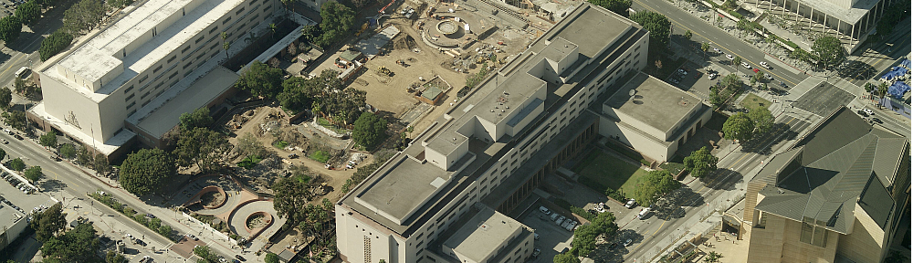
This FREE crash course (tutorial) will teach you a basic understanding of how to use and interpret historical aerial photographs (air photos). 

This tutorial is designed to be used by adults including undergraduate students.  The tutorial is a serious endeavor created to teach you something; it is not a site for pretty pictures.

The tutorial is broken into 2 parts — introductory text and quizzes.  The introductory text can be completed in approximately 30 minutes.  The quizzes are skill-building exercises and can be completed in 30 to 45 minutes.

In this tutorial you will learn: 

  • To think in a logical order when trying to find and examine aerial photographs 
  • To understand the 5 basic questions to always ask when examining aerial photographs 
  • About The Colorado Time Machine aerial photograph collection at the Arthur Lakes Library, Colorado School of Mines 
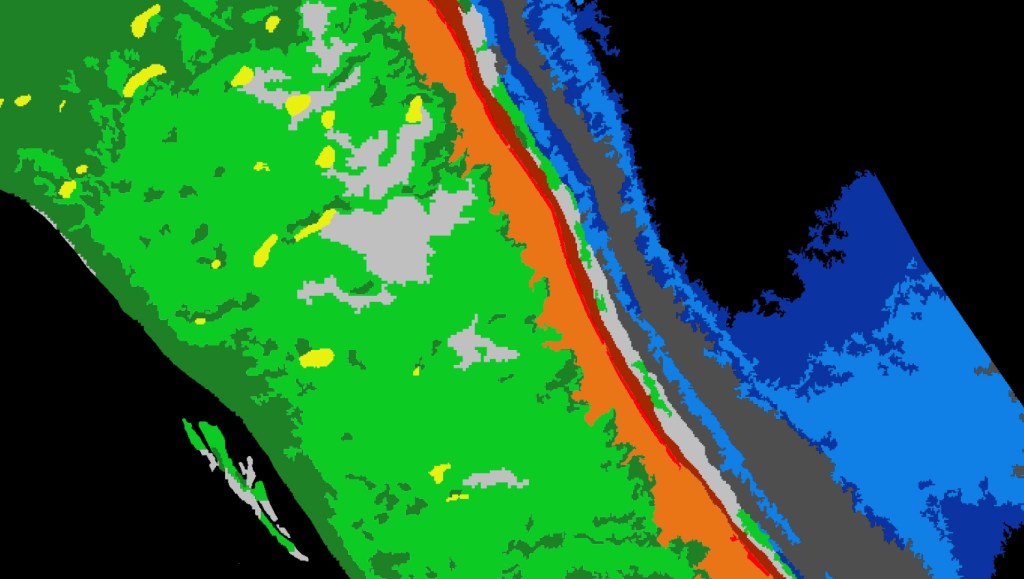
  • To understand the potential and limitations of aerial photographs 
  • Introductory techniques to interpret human activities shown on aerial photographs 

Start learning about air photos!  https://mines.libwizard.com/f/airphotos_2 

Think you already know a lot about aerial photographs? 

Go directly to the quizzes!  https://mines.libwizard.com/f/airphotos_2/p/21 

Make a Flood Map in a Minute

According to NOAA, flooding is the major threat for inland populations. Flash flooding can occur quickly due to intense rainfall, often accumulating from some distance away from where the flooding occurs. Flooding along rivers and streams can last for many days after a storm has passed. See how you can use ArcGIS Online and ArcGIS Living Atlas to make a flood map in no time at all.

Library of Congress GIS Day Conference

The Library of Congress is having a conference tomorrow, and since it will be virtual for GIS Day, anyone can attend! The Geography and Map Division is bringing together a panel of experts, on Wednesday Nov 18th, who are at the forefront of using GIS to track and fight the spread of SARS-CoV-2, the virus that causes COVID-19.
 
Mapping a Pandemic: Cases, Traces and Mutations, will take place tomorrow in honor of GIS Day 2020 and National Geography Week.

Experts from Johns Hopkins University and ESRI will be joining to discuss the geospatial and genomic data being used to understand the pandemic and examine how mapping and GIS technologies are helping public health officials, emergency rooms, epidemiologists and the public grasp the spread of the disease and decide on allocation and distribution of precious resources, like vaccines.

For epidemiologists, studying the virus and its evolution and mutations, not to mention thinking about the distribution of potential vaccines, the pandemic has inspired widespread use of GIS, and new geospatial machine and deep learning technologies. Scientists and public health officials are relying on these new mapping and computational methods to understand the viruses spread and on new visualization techniques developed by cartographers to track the geospatial dynamics of its mutations.

Speakers are:

Keynote:
Dr. Este Geraghty, Chief Medical Officer at ESRI
The Role of GIS in Fighting the SARS-CoV-2 Pandemic

Technical Papers:
Ensheng Dong, Center for System Science & Engineering, Johns Hopkins University
Historic First: Mapping the Pandemic in Real Time

Mike Schoelen, ESRI Health and Human Services
Driven by GIS: A Resilient Supply Chain for COVID-19

John Hessler, Library of Congress & Johns Hopkins University
More Than Just Cases: Mapping the Mutations of SARS-CoV-2

These presentations will premiere on Nov 18, at 1 PM EST (10 AM PST), with closed captions on both the Library’s YouTube site at https://www.youtube.com/loc/ and on the Library of Congress website at https://www.loc.gov/collections/event-videos/. The presentation will be available for viewing afterwards at those sites.

For more information see the Library of Congress Events Calendar or Press Release below:

https://www.loc.gov/item/event-400264/gis-day-2020-mapping-the-pandemic/2020-11-18/

https://www.loc.gov/item/prn-20-073/library-to-host-experts-on-mapping-covid-19-pandemic-for-gis-day-2020/2020-11-10/

CA/HI/NV ESRI Water User Group Meeting

Update 12/7/2020: The conference recordings can be found here.

Join the ESRI water team for a few hours of GIS-focused conversation. Don’t miss this opportunity to learn from like-minded peers facing common challenges in the water industry. Learn how GIS is being used in the following organizations:

  • Padre Dam Municipal Water District 
  • Jurupa Community Services District 
  • Honolulu Board of Water Supply

The agenda will also include a presentation from the ESRI water team. Find out what’s new with ESRI technology.

Don’t miss your chance to participate in this virtual user group meeting on November 19th. Click below to register.