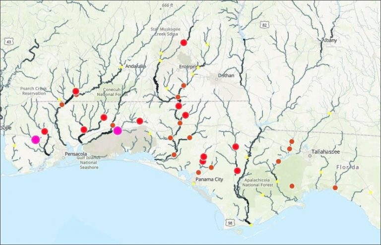
According to NOAA, flooding is the major threat for inland populations. Flash flooding can occur quickly due to intense rainfall, often accumulating from some distance away from where the flooding occurs. Flooding along rivers and streams can last for many days after a storm has passed. See how you can use ArcGIS Online and ArcGIS Living Atlas to make a flood map in no time at all.