If you are planning ahead for the ESRI User Conference in July, there will be a State and Local Government Social. Click here for date and time. Don’t miss it!
State and Local Gov Social @ ESRI UC
Reply
If you are planning ahead for the ESRI User Conference in July, there will be a State and Local Government Social. Click here for date and time. Don’t miss it!
Thinking about migrating away from ArcGIS Desktop and start using ArcGIS Pro? There is an article on ESRI’s GeoNet that one person has posted about doing just that. Check out their experience doing so here. Make sure to read the comments too, great info!
Are you done with school? Taken some GIS training classes? Looking for that next GIS job? According to this article, here are 8 critical skills you need to be a successful GIS professional:
8. Basic programming knowledge
7. Involvement in professional organizations
6. Network
5. Keep learning
4. Software specific knowledge
3. Analytical and critical thinking
2. Project management
1. Sales skills
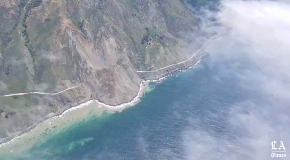
For those of you that like to drive PCH, it might be a while if you want to go past Big Sur. On Saturday night, a massive new landslide has buried PCH under 40 feet of rock and dirt in an area called Mud Creek. Check out the video and article below.
Like to plan ahead for the 2017 ESRI User Conference in July? The agenda is now available for you to plan out what workshops and events you will attend! Check it out.

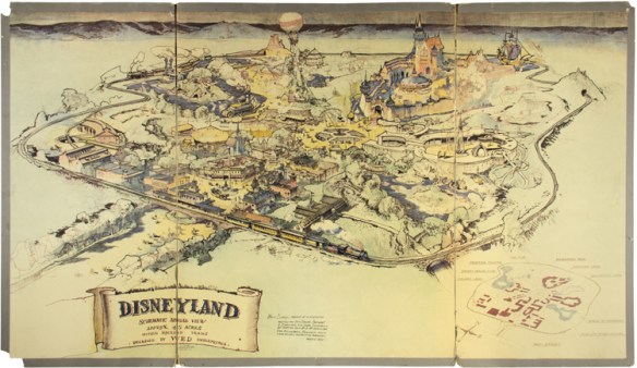
Have some extra cash? Maybe you would be interested in placing a bid for this original map of Disneyland, co-created by Walt Disney himself when the park was still in the inception phase. The map helped Walt and his brother Roy sell the park idea and make it a reality in Anaheim. For more info of the story and where the auction will be held, click below … and good luck!
And if you don’t have that kind of cash, maybe you would settle for this book instead? It’s a good one.

The book opens up from the middle, which is cool. For a look inside, check out this video.
The Center for Spatial Studies at UCSB will be hosting its annual spatial@local2017 Poster and Plenary Session at Corwin Pavilion on Thursday, June 8, 2017.
This year the theme is Environmental Conflict Resolution in the Santa Barbara Channel and will feature speakers from NCEAS and the Channel Islands National Marine Sanctuary.
You can participate in this event, either as poster submitters, or as attendees to the plenary and viewers of the posters. Although the session has a theme, posters on any topic that addresses spatial analysis will be accepted.
For more info and to RSVP, click here.
Are you looking for nautical charts? NOAA’s paper nautical charts are available as “print on demand” up to date to the time of purchase. You can also download charts in PDF format for free.
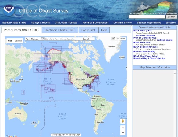
Looking for open ocean and international waters charts? They are produced by the National Geospatial-Intelligence Agency (NGA) and available through vendors as “print on demand” products.
Palomar College is having a free Drone Conference on July 7th. Join Educators, GIS Analysts, Precision Agriculture Specialists, Civil Engineers, Surveying and Mapping Technicians, Utility and Construction Inspectors, Photographers and Videographers along with Law Enforcement Officials, Emergency Responders, and Search and Rescue Personnel at the forefront of incorporating the use of drones in a rapidly emerging job market.
The Drone Conference for Educators and Industry Professionals will feature hands-on learning sessions, demonstrations, vendor exhibits, and guest speakers from various industry sectors including the University of California system, SDG&E, and DJI among others. The day will conclude with a networking reception followed by an evening show at the state-of-the-art Palomar College Planetarium.
To register for this FREE conference and for more information, visit their website.
Space is limited to 120 registrants, so be sure to register soon!
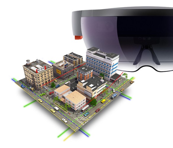
Toms River Municipal Utilities Authority (TRMUA) became the first entity in the world to deploy holographic technology in support of its field teams doing utility location work. Read the article by clicking below.
 SoCalGIS.org