Did you miss a few technical workshops at the 2018 ESRI User Conference? Good news, there are many to watch now on ESRI’s youtube site. Check it out!
2018 ESRI Conference Technical Workshops
Reply
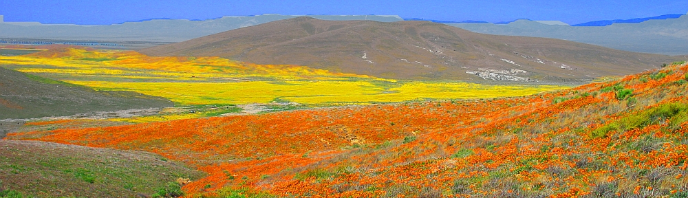
Did you miss a few technical workshops at the 2018 ESRI User Conference? Good news, there are many to watch now on ESRI’s youtube site. Check it out!
Operations Dashboard for ArcGIS is a configurable web app that is included with your ArcGIS Online subscription and/or ArcGIS Enterprise software. The app provides location-aware data visualization and analytics for a real-time operational view of assets, people, services, and events. Click below to find out about the top six new features.

Also check out this blog post about strategies and best practices for using dashboards on your smartphone.
Like many of you, you might be using the Google API in your Geocortex apps so you have access to the Google Street View tool. Well, for us it stopped working recently:
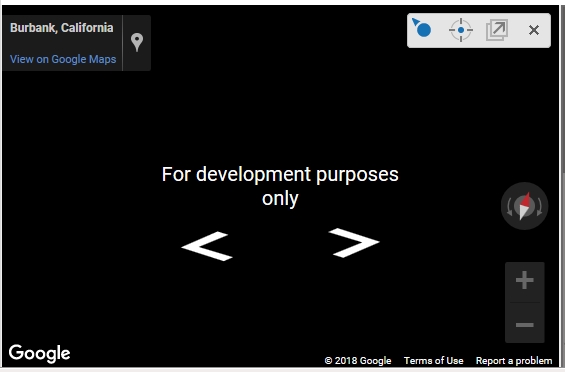
We found out that Google changed their API terms of use this summer. They have stopped supporting keyless usage. That means you cannot access Google Street View through your apps without a billing account and an API key. Keyless calls to the Maps JavaScript API and Street View API will return low-resolution images watermarked with “for development purposes only.” You do not have to worry about this if you use the Google Maps website and Street View there. This is only through API interfaces.
The 2018 ESRI User Conference Proceedings are now available online. You can access papers and presentation materials from GIS professionals who shared best practices and case studies at the conference. Check it out!
Check out these maps and an animated map showing carbon monoxide (CO) released into the atmosphere by the California wildfires from July 29 to August 7. Click below to read the NASA article.

ESRI has an upcoming GeoDev Webinar about Integrating Deep Learning with ArcGIS using Python (August 24th). This webinar will showcase examples of applying Artificial Intelligence, Machine Learning, and Deep Learning to geospatial data using ArcGIS API for Python. It will cover several scenarios of applying the latest machine learning and deep learning techniques to geospatial data. Sign up today!
Looking for a college? Though GIS programs were not used as a factor, check out this listing of colleges based on graduation rates, tuition charges, family borrowing, and alumni earnings (plus 22 other data points) to find the country’s top values.
Top ranked in the SoCal area:
#2 University of California – San Diego
#3 University of California – Irvine
#4 University of California – Los Angeles
#12 California Institute of Technology – Pasadena
#22 California State University – Long Beach
#32 University of California – Riverside
#45 California State University – Dominguez Hills
#47 California State Polytechnic University – Pomona
And if you are looking for colleges in the area that have GIS programs, check out the Education section on the resources page.
ESRI blogged about their entire mid-year release of their software. To discover what’s new in ArcGIS Pro, ArcGIS Online, ArcGIS Enterprise, and their ArcGIS Apps, extensions, and developer tools, click here!
For those of you that missed the ESRI User Conference last week, you can view the Plenary videos by clicking below.

They should have some of the workshop videos online soon.
The National Geospatial Advisory Committee (NGAC) held their summer meeting June 26-27, 2018 at the Department of the Interior, Washington, DC. The NGAC is a Federal Advisory Committee (FACA) to the Federal Geographic Data Committee (FGDC). The role of the NGAC is to provide advice and recommendations related to the national geospatial program and the development of the National Spatial Data Infrastructure. A summary of the meeting can be found here.

