Check out this interesting article about how we move around the world. Brings back memories of my human geography class!


Check out this interesting article about how we move around the world. Brings back memories of my human geography class!
So my gas station is now at $5.99 per gallon in a county with an average of $5.84. How about yours? Using the map app on AAA, looks like some counties in South Dakota are paying around $3.46! Just click on a state to see more detail. Check it out.

Check out this story map about broadband availability and adoption throughout the United States. Zoom in to check out your neighborhood, and also check out maps showing the broadband infrastructure, how people access the internet, who uses the internet, who has broadband at home, and does residential broadband impact labor force participation.

ESRI will be updating ArcGIS Online on March 22, 5pm to midnight (PDT).
Update Highlights
Mapping
Content and Member Management
Interact with Maps and Data Using ArcGIS Instant Apps
Home Page Replacement
Legacy ArcGIS Online home pages will automatically be replaced with a new default home page unless the administrator requests an extension through the Organization page. Transition to the new home page to ensure that your home page looks and performs as desired.
Early Adopter Community
Would you like to try the features planned for the upcoming ArcGIS Online update? Sign up for the ArcGIS Online Early Adopter Community (EAC) with your ArcGIS Online login. Within the ArcGIS Online testing environment, EAC members can try upcoming features, test compatibility with their existing workflows, influence product development, and engage with the ArcGIS Online development team and other members of the EAC.
If you are using the legacy ArcGIS Online tile services in your apps and maps, then it’s time to upgrade to the new ArcGIS basemap layer service. The legacy tile services are in mature status and are no longer being updated. April 30, 2022 is the deadline to upgrade to the new services. Click below for more information and how to upgrade to the new services.
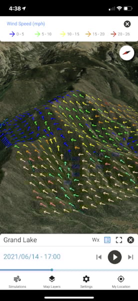
If you are a firefighter, you might find WindNinja Mobile a great tool to have while out in the field. WindNinja Mobile, which can be downloaded for free from app marketplaces such as the Apple App Store and Google Play, was mainly created for firefighters with mobile devices or tablets who need to quickly compute and visualize wind direction and speed simulations. Click below to read an article about it.
Thousands of GIS professionals have signed up for ESRI’s free online course to learn how to make beautiful maps using ArcGIS Pro. If you’re interested in exploring the cartographer’s craft and trying out the latest ArcGIS Pro mapping tools, you are invited to join the course too.
In the course, ESRI’s top cartographers review essential mapping concepts and share tips and techniques to create accurate maps that showcase your data and analysis results.
The course includes the following:
Join the course, get inspired, and do more with maps. The course runs from February 16 to March 30. Click here for more info and to register for the course.
Submit Your Idea for an ArcGIS StoryMap!
The Southern California Association of Governments (SCAG) is excited to announce a major opportunity for college and university students in the region. The 2022 Student Showcase is a storymapping competition that challenges students to think innovatively and compete for cash prizes in two award categories: Best in Show and Audience Awards.
Student participants are invited to conceptualize, create and submit ArcGIS StoryMaps using SCAG’s open data. This is a meaningful way to tell a story or provide insight, showcase plans and projects, engage supporters and stakeholders, illustrate the possibilities of data, and highlight the usefulness of open data at the regional level.
Students are instructed to submit abstracts of their projects by Feb. 22, and if selected, SCAG will request an ArcGIS StoryMap to be submitted. In all, there will be a total of $6,000 awarded (one $2,000 first-place prize and one runner-up $1,000 prize each per category).
For more information on the 2022 Student Showcase, including the program guidelines, visit scag.ca.gov/student-showcase.

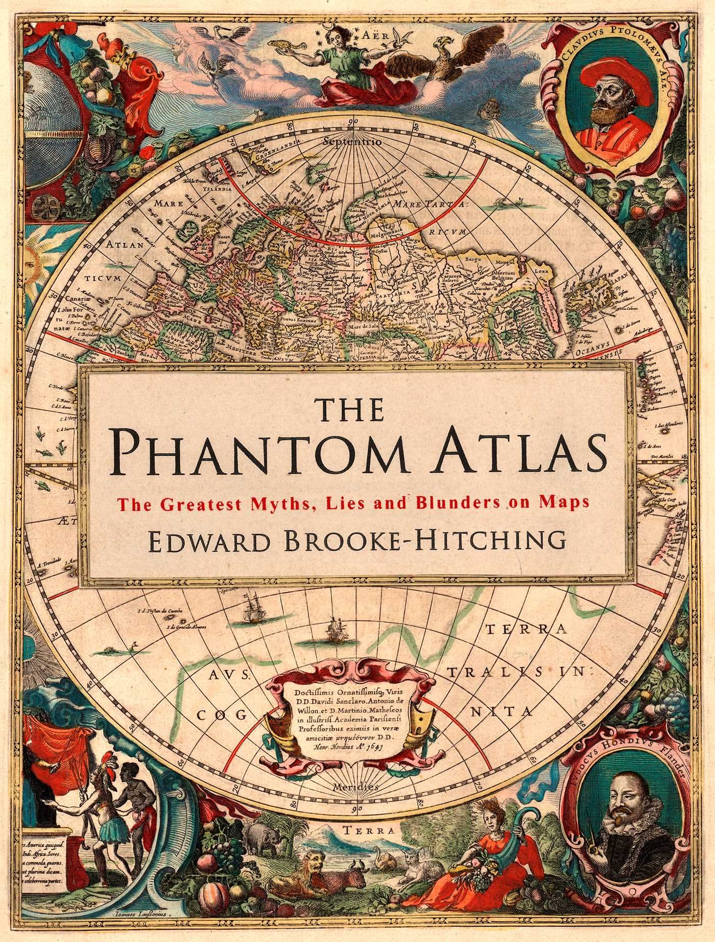
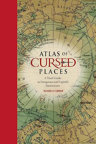
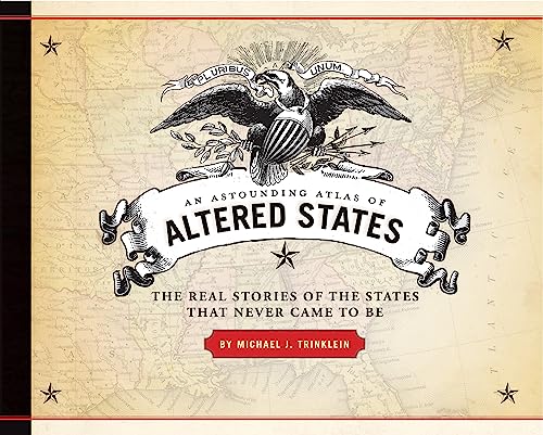
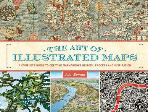
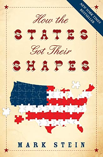
While Santa tries to figure out where we all live … using a paper map … just in case, here are a few map books you might consider if they don’t arrive soon!
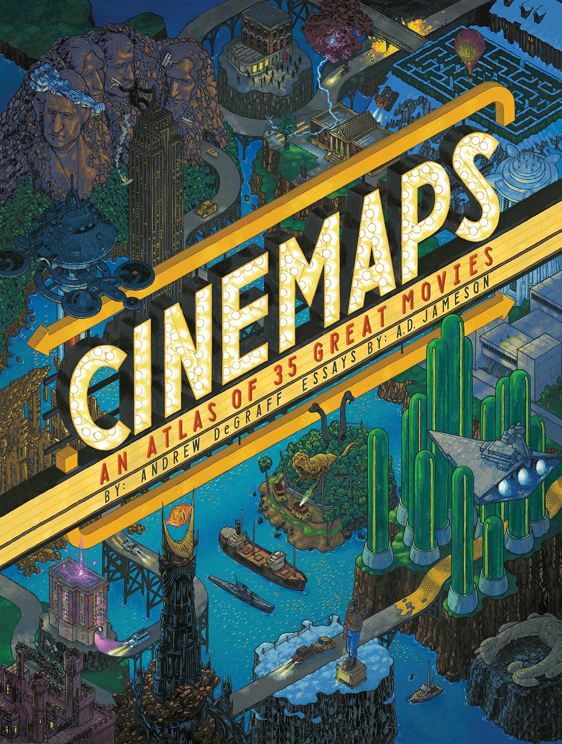

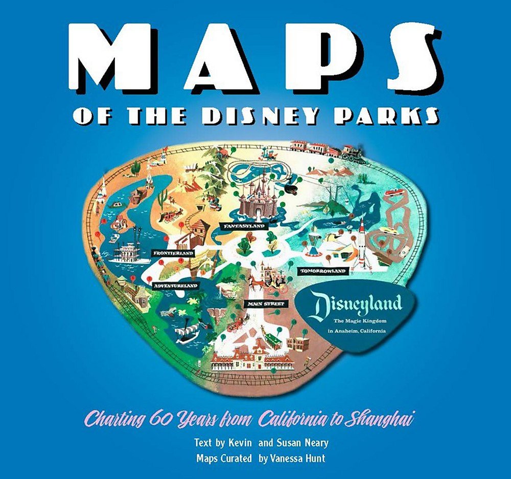
And not an atlas, but a good read:
If you all have other suggestions, please post in the comment section!
Make sure you read about the Physics of Santa, a post from 2015.
Have a Merry Christmas and Happy New Year! -mike
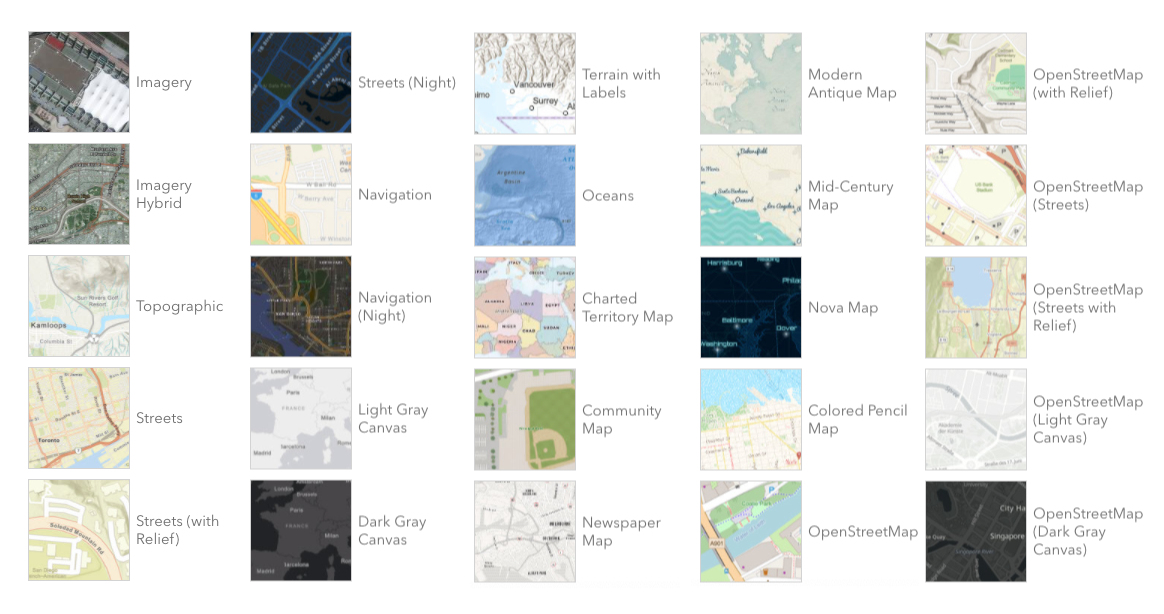
So what’s new in ArcGIS Online? A whole bunch of enhancements and new stuff. Click below and check it out!