Autumn aficionados can track the changing leaves using the new Fall Foliage Prediction Map. Leaves have already started turning in the North East and parts of the West and Midwest. Check it out!


Autumn aficionados can track the changing leaves using the new Fall Foliage Prediction Map. Leaves have already started turning in the North East and parts of the West and Midwest. Check it out!
In March 1853, Congress appropriated $150,000 to survey proposed routes for a transcontinental railroad. The United States Army’s Corps of Topographical Engineers embarked on the work. There were five surveys conducted. One went from St. Paul, Minnesota to Puget Sound, where Seattle was later founded. Another traveled from St. Louis to San Francisco. A third started in what became Oklahoma and headed for San Pedro south of Los Angeles. Then, there was a route from Texas to San Diego. Finally, there was a survey that traveled the Pacific coast from San Diego to Puget Sound.
Between 1856 and 1861, eleven large volumes of published reports from the surveys were issued by the federal government. They included Continue reading
I remember 30 years ago working on ESRI’s COGO software. If you ever used it back in the day, you were a hero creating a landbase from scratch with only measurements from tract and parcel maps and making sure everything closed well with your traverses.
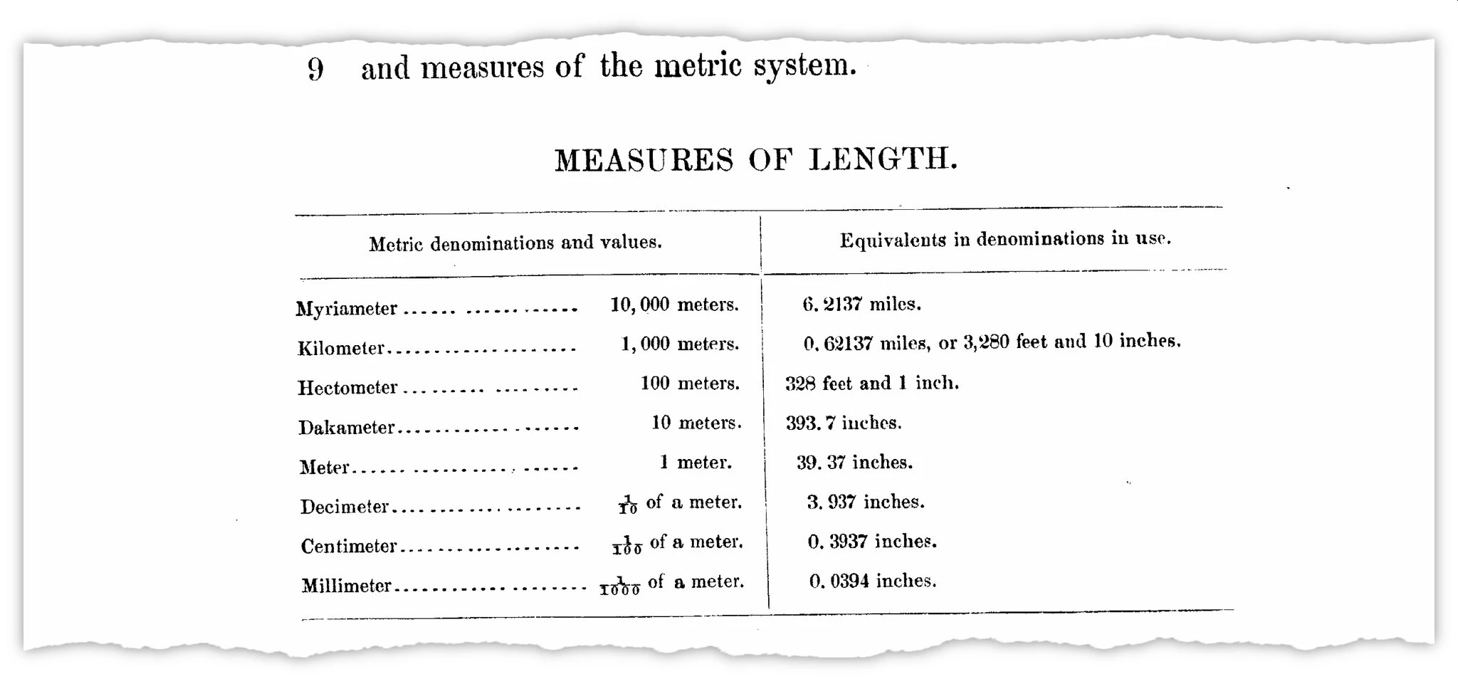
One thing I found interesting was there were two definitions for measuring 1 foot. There was the international foot, which was defined as 1 inch = 2.54 centimeters exactly, or 1 foot = 0.3048 meters exactly. The other was the older US survey foot, which was defined as 39.37 inches = 1 meter exactly, or 1 foot = approximately 0.304800609601 meters, or multiplying US survey feet by the fraction 1200/3937 to get meters.
The US survey foot has been around since 1893 while the international foot was established in 1959 and is slightly more exact. One of the reasons we retained the US survey foot was because of our state plane coordinate systems, which were derived from the national geodetic control network, and are based on the relationship of 1 meter equaling 39.37 inches exactly. Fundamental survey units, such as rods, chains, statute miles, acres, sections, and townships, all depend on the relationship of 1 meter equaling 39.37 inches exactly.
Using two measurements for the same unit have been confusing over the years. But now the US survey foot will be obsolete by January 1, 2023. Click below to read more about it!
Wondering what companies took the government’s SBA Paycheck Protection Program loan? How about what government agencies received Federal Weapons that were loaned to them? How about who received Federal Grants? Or what colleges received Coronavirus Bailout Money? You can find all this out at Open The Books. They have mapping applications that allow you to zoom in on your town/county/state to see the data. Check it out!

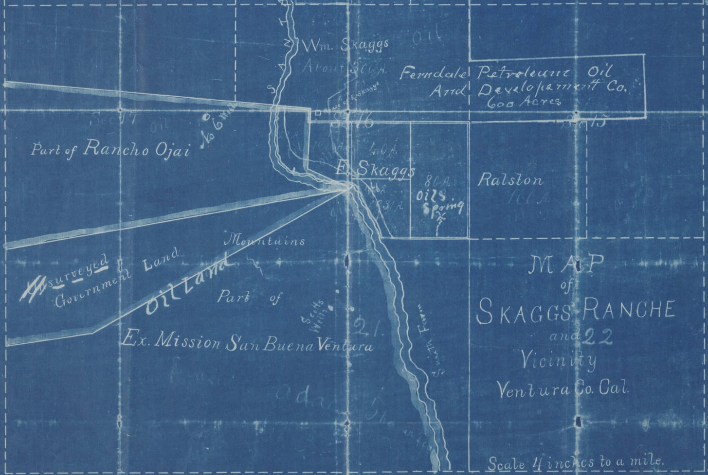
The Huntington Digital Map Collection is an internet catalog of over 8,000 maps of California and the World from The Huntington Library, Art Collection & Botanical Gardens. The maps range from 16th century European portolan charts to 20th century land use maps, including maps owned by British explorer Sir Richard Burton; the Solano-Reeve collection of surveys of Los Angeles and Southern California tracts; and printed tract maps from the Rare Book Collection. You can see all of the available maps in the Huntington collection with thumbnails and short descriptions so you can easily choose the ones you want to view more fully. Check it out!
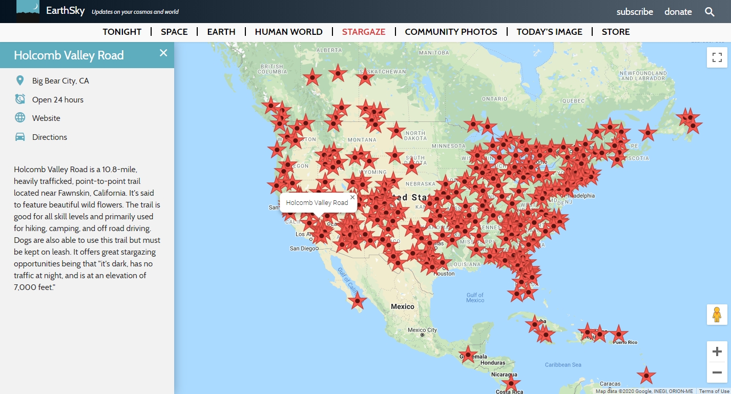
EarthSky’s interactive map will help you find the perfect spot to celebrate the summer nights as you look skyword. This resource tracks publicly accessible stargazing spots around the world. The site gathers an impressive array of locations. Visitors will find a world map with pins marking spots of interest. Click on a pin to reveal an address, directions, and a brief description. Do you have a favorite spot of your own that you want to share? The “Recommend a Place” button brings you to a submission form. Check it out!
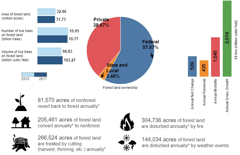
If you are interested in exploring forestry statistics in your home state, you might enjoy the Forestry Inventory & Analysis Factsheet. The resource provides “a brief overview of forest resources in each state based on an inventory conducted by the FIA program in cooperation with each State forestry agency.” Factsheets were created using data from the USDA Forest Service’s Forest Inventory and Analysis database. To explore the data, toggle over the map and click on a state, or use the dropdown bar in the lower left-hand corner to select a state from the alphabetized list. Check it out!
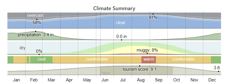
Are you a weather fanatic? If you don’t know about Weather Spark, you should check it out. It is a wonderful website that offers detailed summaries of typical weather anywhere on Earth. From the home page, you are invited to enter a location in the search bar or to choose among major cities, and you can also search via an interactive map (linked below the city list) or view a randomly selected place. Each location in Weather Spark’s database has a vast amount of information concisely presented through colorful graphics and text descriptions, including average temperatures, humidity, solar energy, and much more, with reports available for a yearly, monthly, or daily time frame. You can also compare the average weather for multiple locations simultaneously. Check it out!
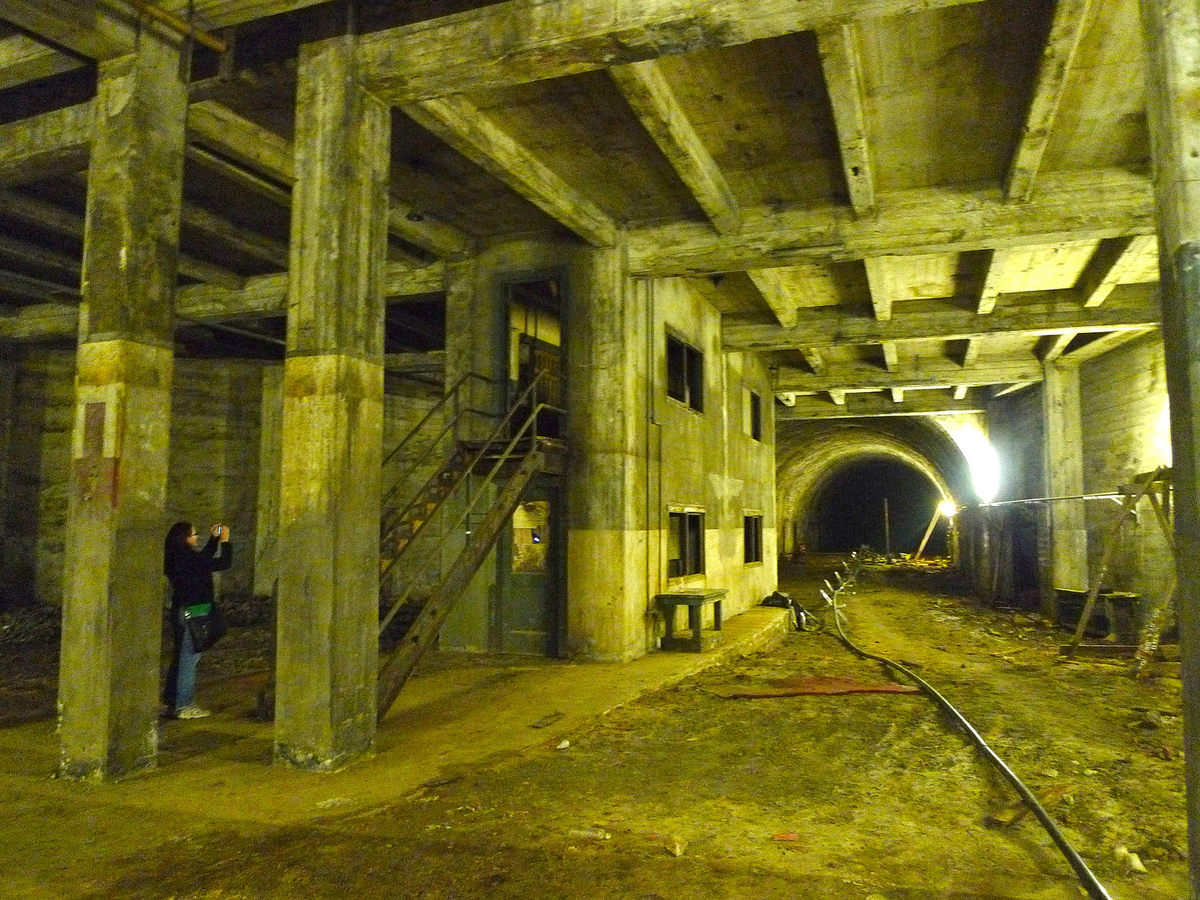
This one is not GIS related, but interesting. Check out this article about how underground tunnels were used by speakeasies and patrons to move about under the city.