Check this map out showing how much snow it takes to cancel school by state. Click it to read the article about how it was created.
/cdn0.vox-cdn.com/uploads/chorus_asset/file/3341866/1086833227377542722.0.png)
Check this map out showing how much snow it takes to cancel school by state. Click it to read the article about how it was created.
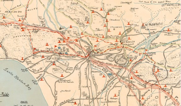
Into a little history in LA County? I found this interesting map showing historic sites, old highways, battle fields, indian villages, gold mines, camps, towns, and other historical places of interest in old Los Angeles County. The map was created by George W. Kirkman and titled “The Kirkman-Harriman Pictorial and Historical Map of Los Angeles County 1860-1937”. Check it out on the LA Public Library website!
Just found this one on the XKCD site. Pretty funny.

I don’t think I would live so close to that volcano!
If you grew up here in SoCal, you probably remember going to Santa’s Village.
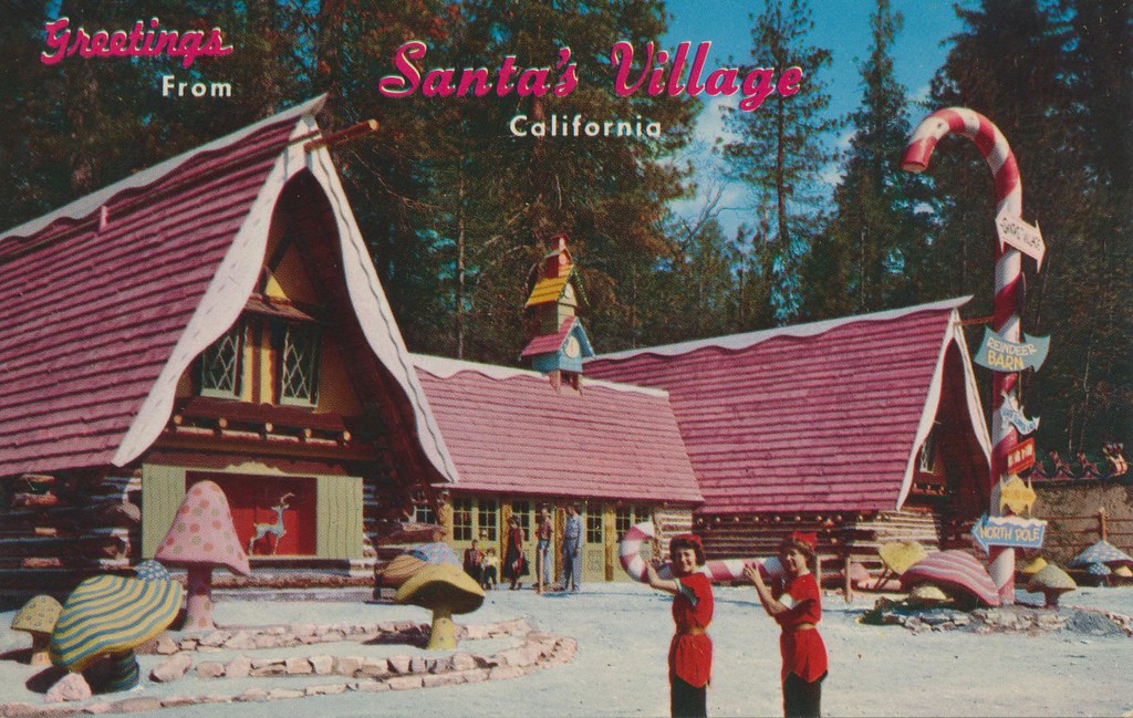
Santa’s Village was a winter themed amusement park in the Skyforest area of Lake Arrowhead. Opened in 1955, more than a month before Disneyland, it was the first franchised amusement park. The park covered 220 acres and was one of SoCal’s biggest tourist attractions. It had rides including a bobsled, monorail, and spinning Christmas Tree ride, and also included a petting zoo, live reindeer, and shops that included a bakery, candy kitchen, and toy shop. And don’t forget Santa himself, which everyone could visit in his home!


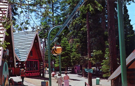
Alas, reduced attendance and revenue shortfalls caused Santa’s Village to close in 1998. The property sold three years later for $5.6 million and served as a staging area for local logging operations. If you have ever driven by on the Rim of the World Highway, you have probably seen the park’s faded candy cane signpost and dilapidated buildings. But the story does not end there.
On May 15, 2014, there was a pending sale of the property to an unidentified Lake Arrowhead resident who was stated to have “big plans for the property”. Later, those big plans were revealed to bring Santa’s Village back with other recreational/action sports attractions in Spring 2015! It will be called SkyPark at Santa’s Village.
So if you were a Santa’s Village fan, consider this a Christmas present for you!
Merry Christmas everyone and a happy New Year! -mike
A joint mission between NOAA and NASA has yielded data showing just how much brighter Earth is during the holiday lights season. In some places, the effect makes the area 50% brighter than on an average day. Check it out!

If you are last minute shopping for Christmas and need to find a gift for someone who likes maps, how about Cartography Ornaments? Check it out.

Planning on traveling during the holidays? Flying? Stay on top of the travel misery and view Flight Aware’s Misery Map. The map gives you an interactive look at travel across the country and overlays weather radar showing the obvious connection between bad weather and bad travel. Hover over an airport and view the connections and the misery. There is also a timelapse button to view the weather, and misery, in action!

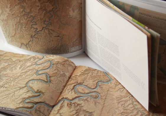
The North American Cartographic Information Society (NACIS) has released their 2014 Atlas of Design. The Atlas of Design is dedicated to showing off some of the world’s most beautiful and intriguing cartographic designs. Check it out and order your copy today!
The U.S. dollar this year turns 100 years old (the one that exists today, as printed by the U.S. treasury). Click below for a brief summary on the history of the dollar and how and why it became the reserve currency.

Like last year, ESRI will be taking votes for the 2015 UC look. You have until November 18th to cast your vote.