After researchers discovered that things got quieter whenever nearby farmers plowed their fields by Amsterdam Airport Schiphol, a new kind of park was designed to help with the airport noise.
Parts of 42 states are at risk of earthquakes during the next 50 years, according to a new report from the U.S. Geological Survey.
The report includes updated maps that show geologists’ predictions of where and how often future earthquakes may occur, and how strongly they may shake the ground.
Many of the at-risk states are in the country’s western half, but the map also highlights hotspots in the Midwest and Southeast. There are 16 states that have regions labeled as being at high risk for seismic activity, because they have histories of earthquakes measuring a magnitude of 6.0 or greater: Alaska, Arkansas, California, Hawaii, Idaho, Illinois, Kentucky, Missouri, Montana, Nevada, Oregon, South Carolina, Tennessee, Utah, Washington and Wyoming.
In making the new maps, geologists considered data from earthquakes that have struck since the maps were last updated, in 2008. For instance, the 5.8 Virginia temblor that struck in 2011 showed that seismic activity can happen in the Northeast. Seismic risk has also increased near Charleston, South Carolina, due to recent earthquakes in the area.
The map gave the Big Apple a slight reprieve. Geologists downgraded the risk that slow-moving waves from an earthquake would hit near New York City. Slow shaking is more likely to damage tall buildings than fast shaking, which is more likely to affect smaller structures.
In California, new information about faults in San Jose, Vallejo and San Diego have raised earthquake risks there. In contrast, the cities of Irvine, Santa Barbara and Oakland have reduced risks, thanks to new insights on the faults in those areas.
The new USGS maps are part of the National Earthquake Hazards Reduction Program, a partnership of four federal agencies created by Congress to reduce the risks to life and property caused by earthquakes. In addition to the USGS, the other agencies include the Federal Emergency Management Agency, the National Institute of Standards and Technology and the National Science Foundation.
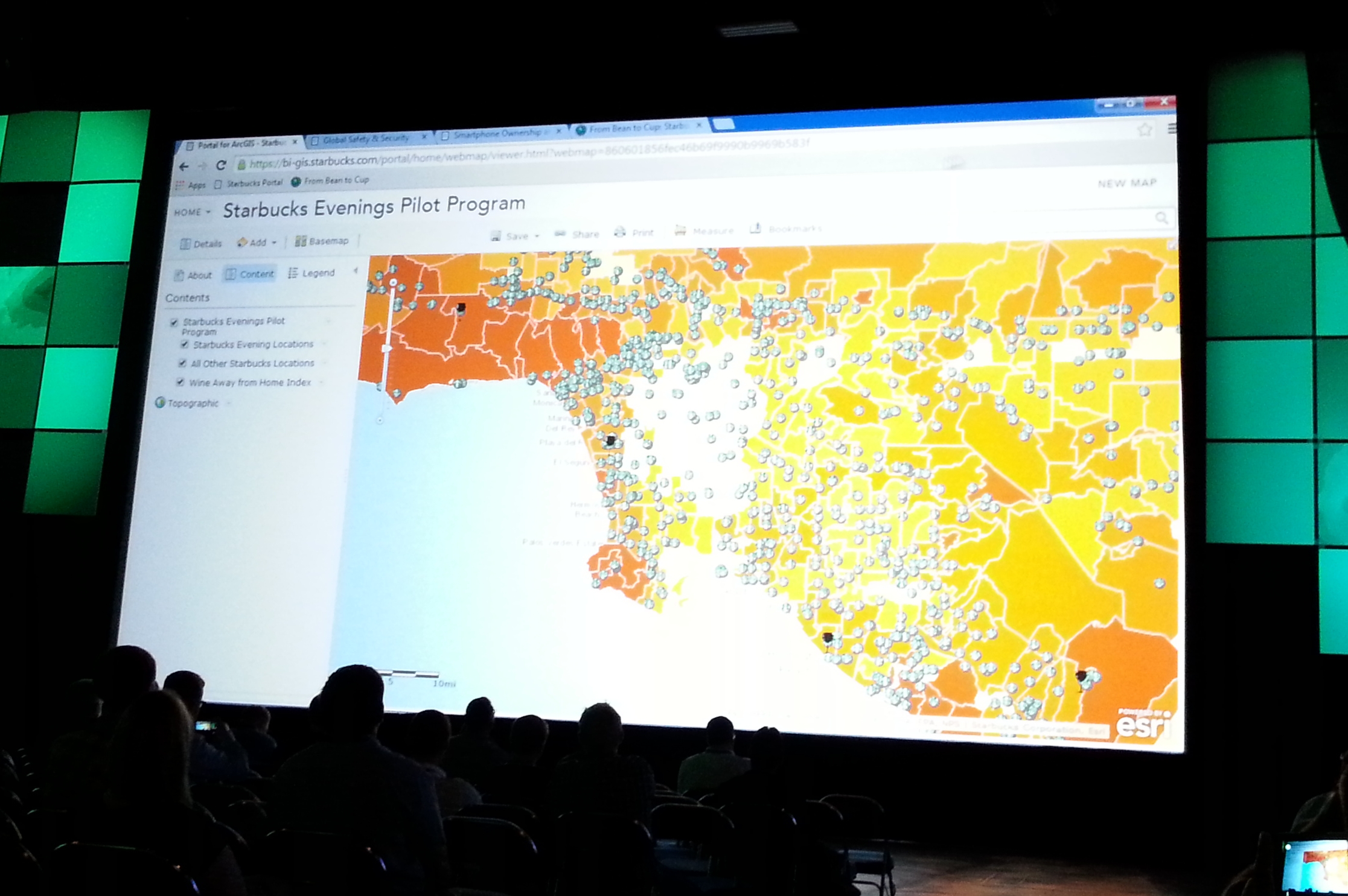
For those of you that could not make the conference this year, here are some highlights that I took away from the first day:
So there you go. And also, I bet if you wait a day, ESRI will put their first day presentations online at video.esri.com. Check it out! -mike
Found this article interesting reviewing the Q&A for this years ESRI Conference:
You can see how ESRI is really pushing the cloud option. Also ArcGIS Pro will be tightly linked to ArcGIS Online or Portal.
Hope to see some of you there at the conference next week! -mike
Over 3,000 (primarily) 19th century maps in books from the British Library collections have been extracted from the scanned volumes and they need your help georeferencing and overlaying the scanned maps. To help, visit http://www.bl.uk/maps/ .
The images are public domain and may be downloaded from Flickr (jpeg), and the overlays (kml) and coordinate data (wld) from BL Georeferencer.
Southern California GIS Community Meeting
ESRI Conference in San Diego next week
Tuesday, July 15, 2014, 12pm to 1pm
Room 25C, San Diego Convention Center
This meeting is an opportunity for the GIS community in Southern California to meet and socialize. If you are a GIS professional, student, instructor, or interested person, you are invited to get together and meet each other. The event is open to everyone, and is supported by SoCalGIS.org, Geospatial LA, the LA Regional GIS Forum, and LA County Enterprise GIS. So go ahead and grab your lunch and bring to the 2nd annual meeting of the Southern California GIS Community!
If you graduated with a Geography degree from CSULB, attended some classes in Geography or GIS, still there trying to figure out when it will all end, know someone from CSULB Geography, know Frank, know someone who knows Frank, had the privilege of taking a class “taught” by Frank, suffered in Frank’s class, heard a story about a guy named Frank, or now you are just curious who this Frank guy is anyway, then come join us at our annual CSULB Geography get together at TOP GUN, Wednesday night around 6pm during the ESRI Conference in San Diego next week.
Hope to see you all there! And yes, you too Frank! -mike
If you are a faculty or staff member in a higher education institution that teaches GIS, you might want to take a look the new wiki titled “ArcGIS Online Coaching Points for Higher Education“. ESRI states:
ArcGIS Online is an evolving cloud-based GIS software as a service. It is updated several times a year. Educators and Esri staff need a dynamic medium to share problems and advice. This wiki supports the ArcGIS Online education community by providing such a medium.
We encourage education users to post the challenges they face as scenarios in the relevant sections of this wiki. Experienced ArcGIS Online users and Esri staff will respond with advice (i.e., “coaching points”) that help users overcome challenges. To add your scenarios and coaching points to the wiki, simply create an account to gain editing privileges. The team that hosts wiki.gis.com provides plenty of online help.
Probably something to check out before you go to the 2014 Education GIS Conference.
NAPSG Foundation is holding a one-day Los Angeles Region Summit on September 15, 2014, in Los Angeles, California. Just one block from the historic Union Station in downtown Los Angeles. This event will convene current and new NAPSG partners from the Los Angeles Region and across Southern California, from all public safety disciplines and levels of government.
The Summit will provide you with an opportunity to learn about the status of Public Safety GIS in the Los Angeles Region and to interact with other public safety officials and GIS professionals.
Who Should Attend? Operations and technical public safety officials, across all disciplines, who are interested in learning more about the requirements and application of GIS in day-to-day public safety operations. Including:
And all other Public Safety & GIS Personnel
Agenda topics will include:
Registration will open in early August, and space will be limited. There is no cost for public safety and other government officials.
Where & When
The California Endowment
1000 N Alameda St
Los Angeles, CA 90012
September 15, 2014, 8:30-4:30pm
Over a 10 year period, the Ozone Monitoring Instrument (OMI) on NASA’s Aura satellite has shown decreasing levels of nitrogen dioxide in major US Cities.

Visit this post on Directions Magazine for more info.