Useless FCC Broadband Map

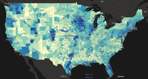
In February the FCC released their new broadband map showing the availability of high-speed internet in the US.  Many of you might remember their previous map which turned out to be completely useless.  Well … this new one seems to be about the same, not matching the reality on the ground.  Click below to read more about the story.

fcc-broadband

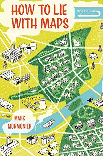
A great example of how to lie with maps.  Hey!  There’s a book about that!  You should get it, it’s a great book.

9780226435923-us

New LA County GIO

Congratulations to Steven Steinberg on becoming the new GIO at LA County!

Before joining the County, Steven was the Principal Scientist and Department Head for Information Management and Analysis at Southern California Coastal Water Research Project (SCCWRP) a public agency for environmental research located in Costa Mesa.

Steven has extensive experience with geospatial analysis technologies including GIS, remote sensing, and image analysis in interdisciplinary applications.  He has a B.S. in Natural Resources, a M.S. in Natural Resources Policy and Management, and a Ph.D. in Forestry (Geospatial Sciences).  He also has co-authored books, such as GIS Research Methods: Incorporating Spatial Perspectives (2015) and GIS for the Social Sciences: Investigating Space and Place (2006).

2018 CGA Conference

If you find yourself taking a trip to Cambridge, MA in April, you might want to drop by Harvard’s Center for Geographic Analysis (CGA).  CGA, together with the Harvard Data Science Initiative and ESRI, will host a conference on Illuminating Space and Time in Data Science on April 26-27, 2018. This conference aims at bringing together mainstream data scientists and geographic information scientists, to review the status of both fields, explore commonalities between the two, and identify the relevance of space and time in Data Science. The event features keynote speakers Francesca Dominici and Michael Goodchild, as well as thirty distinguished scholars from around the world. It is co-sponsored by I/UCRC Spatiotemporal Innovation Center and MapD Technologies, Inc.

This event is free and open to the public. For more information and to register, please visit http://gis.harvard.edu/events/conferences/2018-cga-conference-illuminating-space-and-time-data-science.

ArcGIS Offline Data Collection Without a Named User

Use ArcGIS Server?  Want to edit data out in the field with disconnected editing capability but don’t want to be forced into the ArcGIS named user model just to use Collector?  Webmapsolutions.com might have an answer for you!  They have built an offline-enabled ArcGIS data collection app which works with ArcGIS Server (no named user required), but can also work with Portal and ArcGIS Online!  Check it out.

one

LARIAC5 Imagery

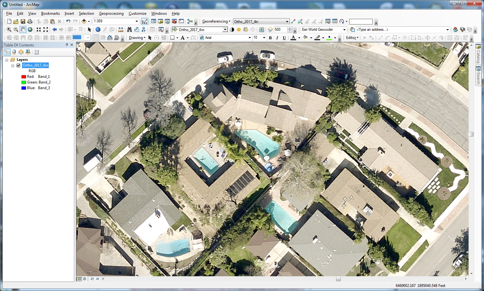
Burbank received the LARIAC5 2017 imagery and I must say it looks great!  Click to enlarge.

lariac5a

lariac5c

Also, this time around the imagery has 4 bands, band 4 being near infrared, so you can display color infrared (CIR) to make the vegetation pop.  Just set the Red band to 4, the Green band to 1, and the Blue band to 2:

lariac5b

lariac5d

Very cool.  Great job LA County!  -mike

USGS Water Resources and Land Change Information

The USGS Library provides reference services and instructional sessions to library users on finding print, digital, and online library materials. They are offering two webinars.

The first will focus on how to find and use information sources and products related to water use, surface water, groundwater, water quality, floods, droughts, and hurricanes (data, databases, publications, maps, and field and laboratory methods).  Click here for more info and to register.

The second will focus on how to find and use information sources and products related to long-term and short-term land changes from natural-hazard events, land-use change, and example reference inquiries related to finding current and historical land information.  Click here for more info and to register.

Both webinars will also cover education tools available from the USGS and other geoscience stakeholders.