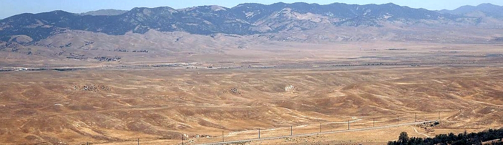
Looks like a brush fire erupted in Simi Valley. Check out this interactive map from the Ventura County Emergency Operations Center to see mandatory/voluntary evacuation areas as well as power shutoff areas.

GOES-West Satellite image as of 10am:

Looks like a brush fire erupted in Simi Valley. Check out this interactive map from the Ventura County Emergency Operations Center to see mandatory/voluntary evacuation areas as well as power shutoff areas.
GOES-West Satellite image as of 10am:
Hema Maps. California, Nevada road guide. 1 map, scale 1:1,000,000. Hallwag, pub. 2019. ISBN: 9783828307568
Michelin North America. Streetwise California: state road map of California. 1 map, scale 1: 2,400,000. Greenville, S.C.: Michein Travel, pub. 2019. ISBN: 9782067238824
National Geographic Maps. Desolation and Granite Chief Wilderness Areas. 1 map, scale 1:40,000. Evergreen, Colo.: National Geographic Partners, Trails Illustrated topographic map 802, pub. 2018. ISBN: 9781566957731
National Geographic Maps. Tahoe Rim Trail. 1 map, scale 1:63,360. Evergreen, Colo.: National Geographic Partners, Trails Illustrated topographic map 1013, pub. 2018. ISBN: 9781566957496
U.S. Bureau of Land Management. Alabama Hills recreational and scenic area, map and guide. 1 map, scale ca. 1:10,480. Bishop, Calif.: Bureau of Land Management, Bishop Filed Office, pub. 2018. Link.
U.S. Bureau of Land Management. BLM routes of travel for western Imperial County, California. 1 map, scale 1:135,000. El Centro, Calif.: Bureau of Land Management, El Centro Field Office, pub. 2019. Link. Link.
U.S. Forest Service. Plumas National Forest, California. 1 map, scale 1:126,720. Vallejo, Calif.: U.S. Forest Service, pub. 2019. ISBN: 9781628114348
U.S. Forest Service. Sequoia National Forest atlas, including Giant Sequoia National Monument: 7 1/2ʹ quadrangle topographic maps. 1 atlas (60 p.), scale 1:63,360. Washington, D.C.?: U.S. Forest Service, pub. 2019. ISBN: 9781628114331
U.S. Forest Service. Shasta-Trinity National Forest atlas: 71/2′ quadrangle topographic maps. 1 atlas (119 map sheets), scale 1:63,360. Vallejo, Calif.: U.S. Forest Service, pub. 2019. ISBN: 9781628114355
Zanger Christopher. Mount Shasta Wilderness. 1 map, scale 1:38,000. Birmingham, AL: Wilderness Press, 4th edition, pub. 2017. Link.
Update 2/20/2020: ArcGIS 10.8 has been released. View the post here.
Looks like ESRI pre-released ArcGIS 10.8. Logging into my.esri.com shows what is available for download:

ArcGIS 10.8 Prerelease:
The ArcGIS Desktop and ArcGIS Engine 10.8 setup packages are designed to detect and upgrade an existing installation of the same ArcGIS product. The settings for the installation location, license manager (for concurrent use), or authorization information (for single use) are retained during the upgrade.
ArcGIS Enterprise 10.8 upgrades are not supported at 10.8 prerelease. To see the new capabilities of ArcGIS Enterprise 10.8 prerelease, it is required to do a new installation. Upgrades from previous versions to the 10.8 prerelease are not supported. Upgrades from the prerelease version to the final released version are not supported. The final release of 10.8 will support upgrades from previous software releases as usual.
The following products are not included with ArcGIS 10.8 prerelease and will be available with the final release of ArcGIS 10.8:
ArcGIS 10.8 Single Use Licenses:
If ArcGIS 10.8 will be installed on a machine that is different from where a previous ArcGIS 10.x product is currently installed, and you wish to use the existing ArcGIS 10.1–10.7.1 authorization number for ArcGIS 10.8, the earlier version of an ArcGIS 10.x product must first be deauthorized before authorizing ArcGIS 10.8.
ArcGIS 10.8 Concurrent Use Licenses:
With all the fires that are going on right now, this interesting interactive map by UCLA shows all buildings in California classified by what Cal Fire Fire Hazard Severity Zone they fall in. Click below and check it out!

Thanks goes to Barry Waite for finding this one!
You can also check out the Cal Fire Fire Incident Map here.
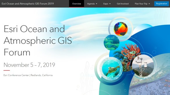
ESRI will be holding an Ocean and Atmospheric GIS Forum at their headquarters in Redlands on Novermber 5-7, 2019. Check it out and register.
Looks like ESRI is starting a new campaign called “See What Others Can’t“. If you attended the 2019 Users Conference in July, you saw some of this already.
According to an email that went out to users, they will be extending the campaign “to include billboards and print, TV, and digital ads.” Billboards and TV? That should be interesting to see. When someone asks you what you do, ask them if they saw the TV commercial or billboard! Here is one of the commercials.
ESRI would like users to embrace and amplify the message on the campaign’s new website to share your stories and feedback with ESRI. Check it out!

If you are old enough, remember when you printed a map on a dot matrix printer? How about those Calcomp plotters that used different colored ball point pen cartridges to make color maps? Cross hatching was a big thing!
Check out this article about how advances in computer mapping shaped the early days of GIS.

The Huntington is pleased to announce an addition to its fellowship program that may hold particular interest for members of this group. This fellowship is unusual among the Huntington’s offerings in having no specific degree requirements. To apply, please go to https://fellowships.huntington.org/; for further details, contact Natalie Serrano at nserrano@huntington.org.
The Huntington Fellowship in the Materiality of Print Culture
This newly created fellowship in the materiality of print culture provides one month of support for research in any aspect of printing history, book production, or illustration technologies including photography. Applications are welcomed from those inside and outside the academy, but are especially encouraged from librarians, curators, conservators, and advanced practitioners of any of the allied arts of printing, printmaking, photography, graphic design, or book production. Applicants must have a focused research project that centers on some material aspect of print culture and must demonstrate how research in The Huntington’s Library collections is critical to its development.
Five years after the United States Geological Survey launched its 3D Elevation Program, it has delivered the first ever national baseline of consistent high-resolution elevation data. As the program matures and works toward its goal of covering 100 percent of the U.S. and its territories, it faces challenges and opportunities in the West. Click below to read the article.
Do you use the Map Viewer in ArcGIS Online? If so, the new version in Beta will be ready for you to try out! Click below to read more about it and what to do to be able to use the new functionality.

