This is interesting, being able to dig deeper into your data and clean it up using Data Engineering in ArcGIS Pro 2.8. Check it out.
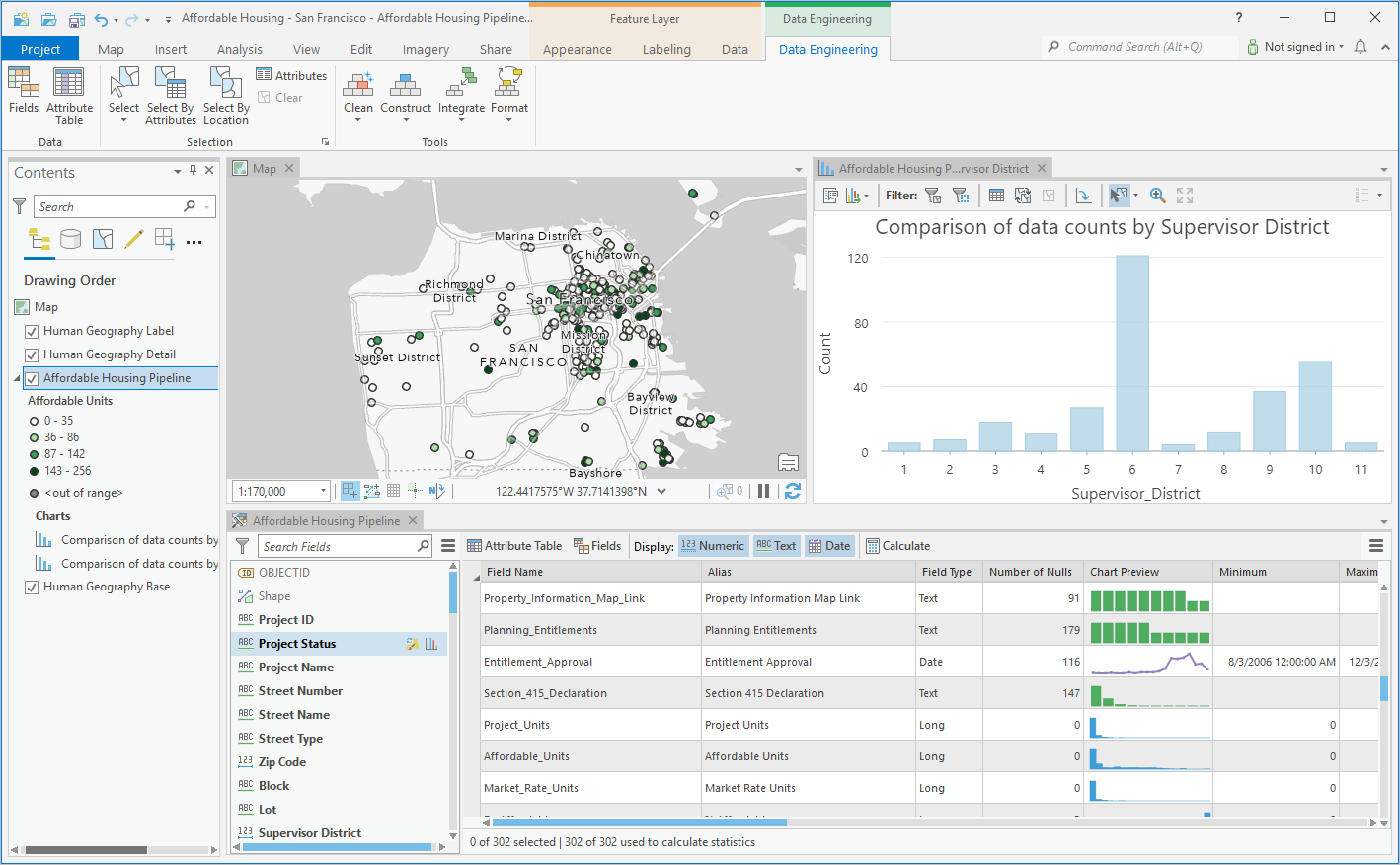

This is interesting, being able to dig deeper into your data and clean it up using Data Engineering in ArcGIS Pro 2.8. Check it out.
During the opening ceremonies of the Tokyo Olympics, there was a drone display, over 1800 drones that formed a rotating Earth. Very impressive.
The USGS National Geospatial Program is hosting a public webinar to provide information about the 3DEP Broad Agency Announcement (BAA) solicitation for cost sharing assistance in lidar projects for the upcoming Federal 2022 fiscal year. If you have interest in funding or are in the early stages of coordinating a lidar collection for your area of interest, this webinar will give you the information you need for FY2022 and beyond.
The webinar will be held on August 11, 2021. Click here for more info and to register.
With the 2021 ESRI UC wrapping up today, if you missed any workshops, most are recorded and I’ve been told will be available for registered users to watch until October 13th. You can also order the conference recordings at a reduced rate before August 1st.
The 2021 ESRI User Conference starts today online and goes through Thursday. The Plenary session is today, starts at 8:30am PDT. Check it all out!
CGIA has posted the latest edition (2021 Q2) of GIS Under the Dome. Check it out!
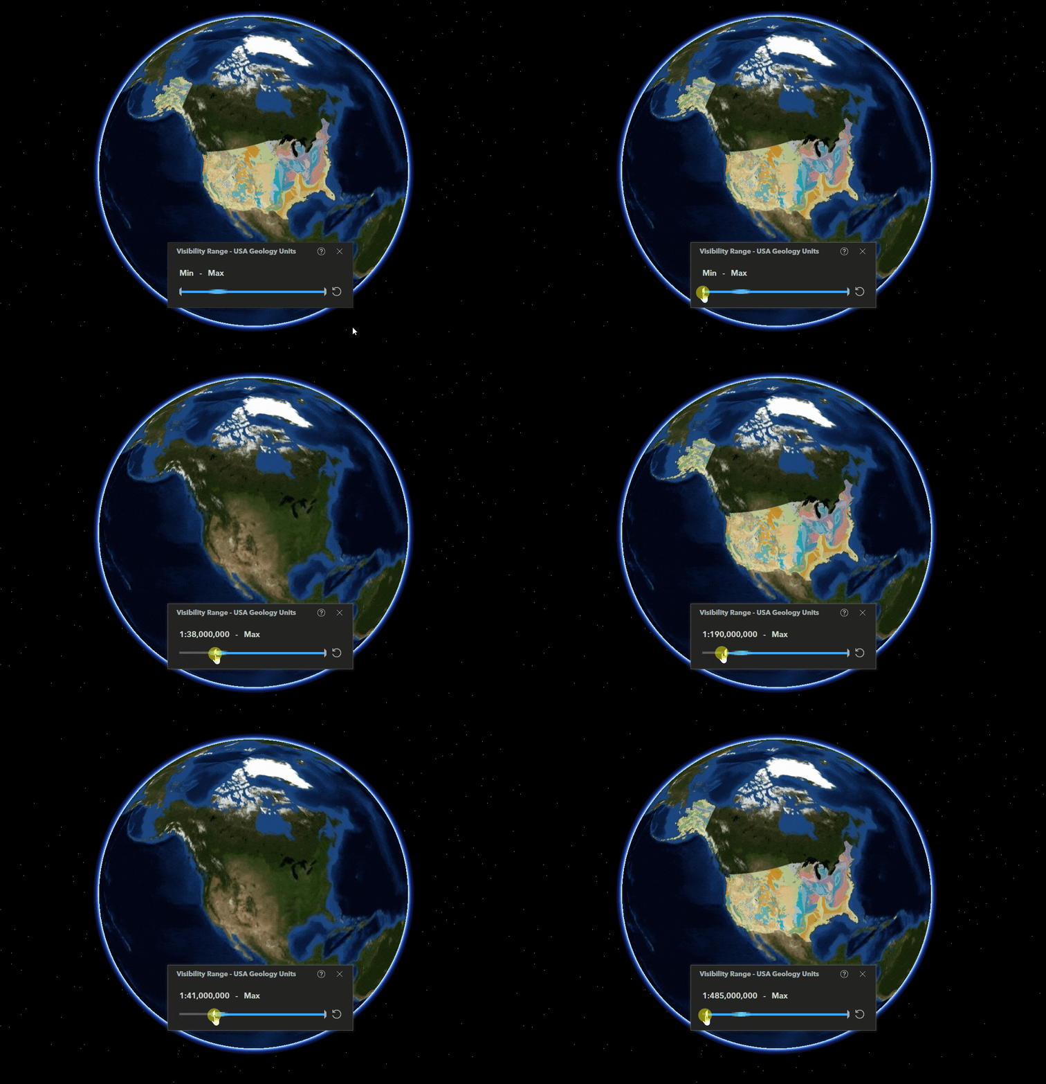
ESRI is updating ArcGIS Earth with some new features like data visibility range, layer icon customization, undo/redo actions while editing KML, and more. Click below to get more info.
The Indicators of Broadband Need map was created by the United States Department of Commerce, National Telecommunications and Information Administration (NTIA). The map uses several different data sources to show information on broadband availability within the United States. Layers in this map were created using data sourced from the American Community Survey collected by the U.S. Census, Measurement Lab (M-Lab), Ookla, Microsoft and the Federal Communications Commission (FCC). Check it out!

July 4th is just a few days away, which means there will be fireworks again!
Use the app to view cities in LA, Orange, Ventura, Riverside, and San Bernardino County that allow the sale and discharge of fireworks. Included are days and times when fireworks will be sold and when you can light them up, as well as links to city websites and telephone numbers. Data was collected from municipal codes, websites, and/or contacting each city. Some cities allowed sales to start yesterday AND allow you to discharge them now as well! Check it out and be safe!

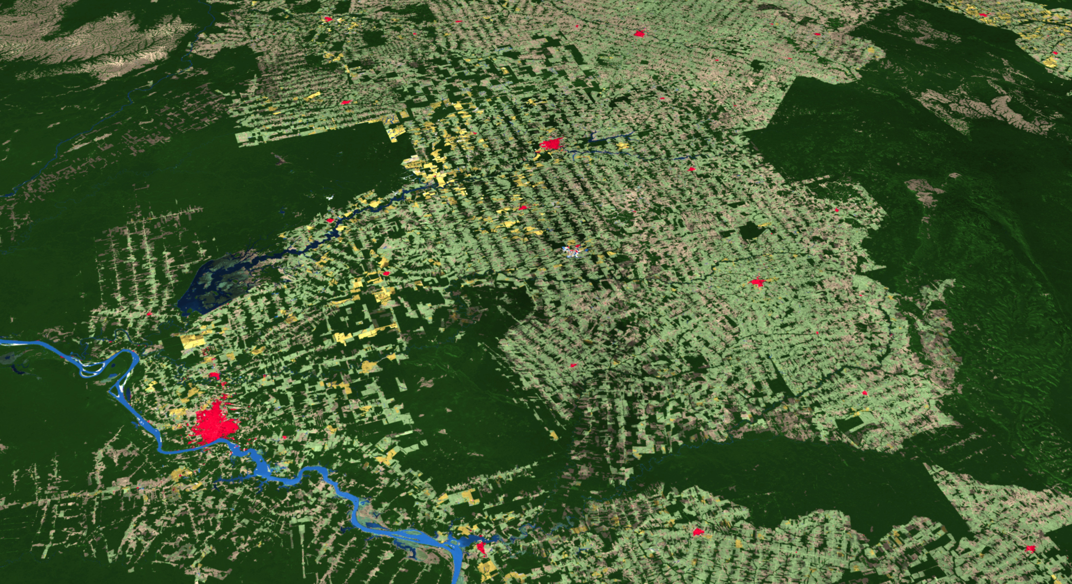
ESRI has released a new 2020 Global Land Cover Map Service in ArcGIS Online, part of their Living Atlas datasets.
The map was built using European Space Agency (ESA) Sentinel-2 satellite imagery, and developed using a new machine learning workflow. The 2020 land surface data is at 10-meter resolution and includes categories such as water, trees, grass, flooded vegetation, crops, scrub/shrub, built area, bare ground, and snow/ice. There is also a cloud and no data category. Check it out!