Don’t miss the annular solar eclipse tomorrow! Though it will not fly by SoCal (we get about 70% of it), if you happen to be under the path in another State tomorrow, look up! Click below for more info.


Don’t miss the annular solar eclipse tomorrow! Though it will not fly by SoCal (we get about 70% of it), if you happen to be under the path in another State tomorrow, look up! Click below for more info.
Check out this 10 foot square map of the world created in 1587! The map was hand drawn in a 60 sheet manuscript. The sheets were scanned and digitally joined to view the map in it’s entirety for the first time. Check it out!

Thanks goes out to Amelia, a student of Study Map, for finding this resource and great links to GIS, Spatial Data Analysis, and the history of GPS. She wanted to share this with the SoCalGIS group! Thanks Amelia!
While driving through Fillmore over the weekend, I noticed the firework stands that were being put together. Ah yes, July 4th is just a few days away. That means there will be fireworks again!
Use the app to view cities in LA, Orange, Ventura, Riverside, and San Bernardino County that allow the sale and discharge of fireworks. Included are days and times when fireworks will be sold and when you can light them up, as well as links to city websites and telephone numbers. Data was collected from municipal codes, websites, and/or contacting each city. Data provided as is. Some cities are allowing sales to start today AND allow you to discharge them now as well! Check it out and be safe!

I could not find a map for this, but if you are looking to view some of the flower blooms that are going on now, click below to check out the California Department of Parks and Recreation site.

Looks like more poppies at the Antelope Valley Poppy Reserve will start blooming in the next few weeks. Check out the Poppy Cam!
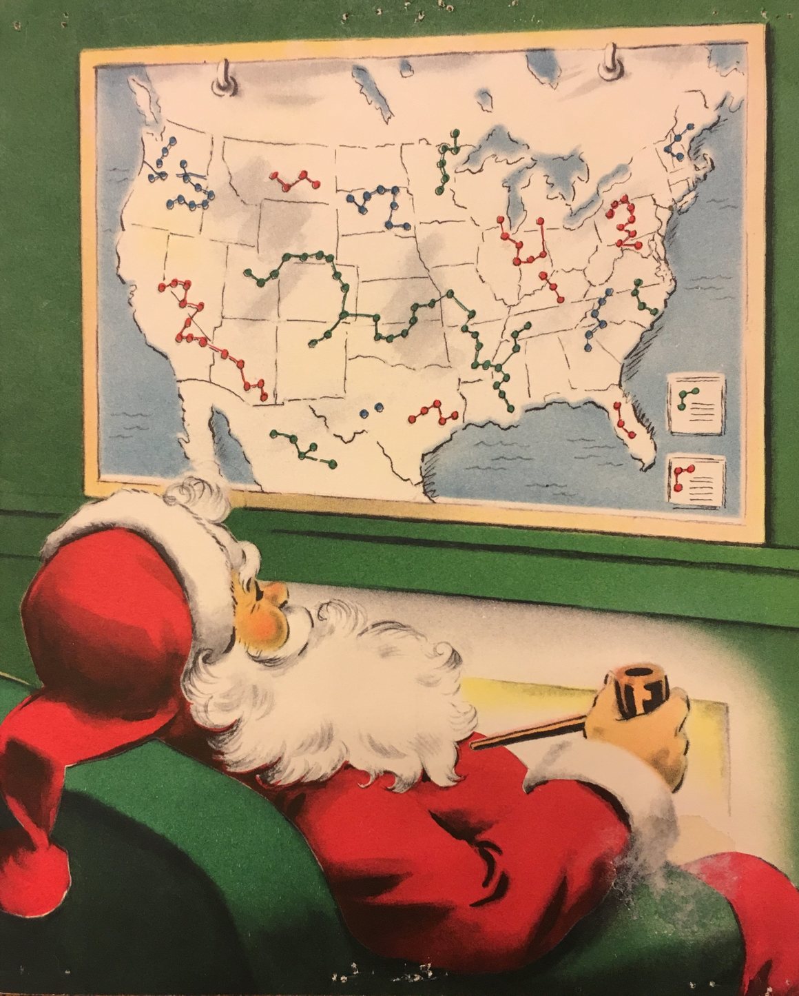
Wishing you all a very Merry Christmas and a great holiday season! Enjoy this year’s Christmas Card … I think Santa is learning about points, lines, and polygons!
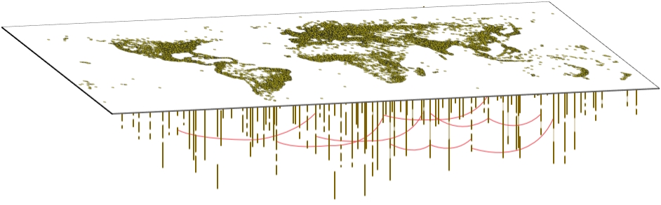
The World Historical Gazetteer (WHG) is providing a collection of content and services that permit world historians, their students, and the general public to do spatial and temporal reasoning and visualization in a data rich environment at global and trans-regional scales. Check it out!
Looking for a unique gift for someone who loves maps? Check out these shaded relief maps. They are flat 2D maps, but really look like they are jumping off the page in 3D. My guess the bigger the map you get, the better 3D effect on your eyes! Check it out.

You can also visit the author’s project site here.
GIS Day is almost upon us! Check out this video from Jack Dangermond.

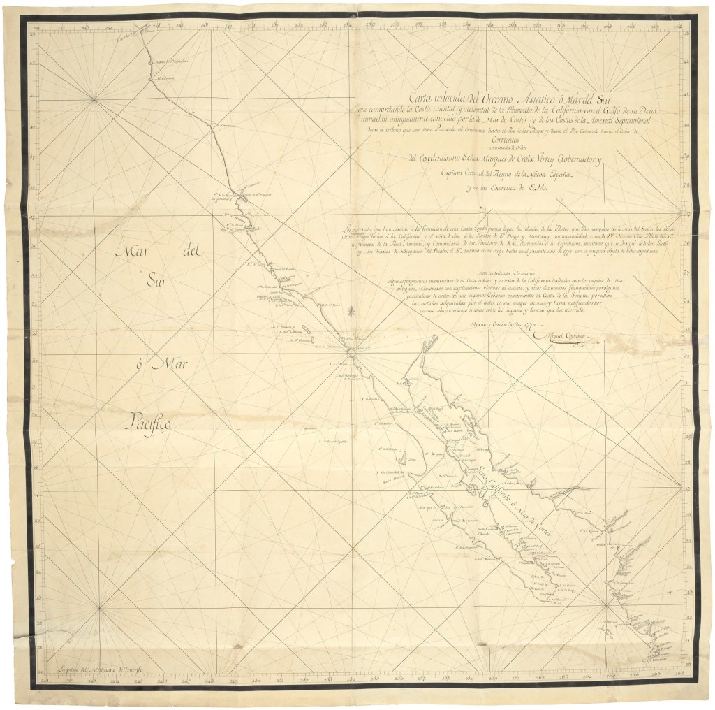
If you have some cash to spend, like $600,000 to $800,000, you too could own this rare map of California! COSTANSÓ, MIGUEL DE. 1741-1814: Original Manuscript Map of Coastal California Signed (“Miguel de Costansó”).
Costansó was the engineer for the Portola Expedition, creating the first land based maps of the California coastline, and discovering and mapping the port of San Francisco for the first time. There are only 4 copies that still exist, and you can own one of them! Check it out, and good luck on your bid!