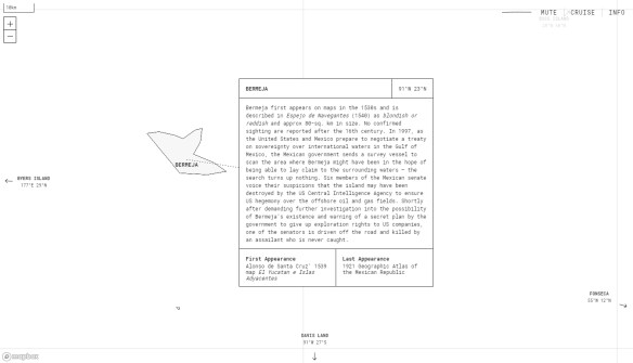
The term “phantom island” refers to an island that appeared on historical maps (sometimes for many years) even though it doesn’t exist. Most phantom islands emerged from the era of European sea exploration and colonization. Phantom Islands – A Sonic Atlas is a project that pairs original sound recordings with 27 phantom islands. Each of these islands are placed according to their coordinates on historical maps. Visitors can explore these individual islands by either taking a “cruise” or by navigating with their cursor. As one visits each island, they will hear a unique soundscape and can read about the island’s history, including the date of the island’s first and last appearance in print. Check it out!
Category Archives: Fun Stuff
Fireworks 2018!
July 4th is almost here, and that means fireworks again! The fireworks app that has been used in the past few years has been updated, adding cities in San Bernardino County. Continue reading
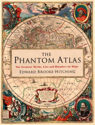
The Phantom Atlas
Looking for a gift for someone who loves maps? Take a look at The Phantom Atlas. Long before satellites and Google, cartographers traced out maps of the world, some with errors that persisted for hundreds of years. The Phantom Atlas compiles the greatest “myths, lies and blunders” on maps, from honest mistakes to deliberate lies. Check out this interview with the author:
Hardcover and Kindle versions available on Amazon:
GIS Meme
This one made me laugh!

Spaces in file names were a big problem with my GIS students.
Salary Needed to Buy a Home
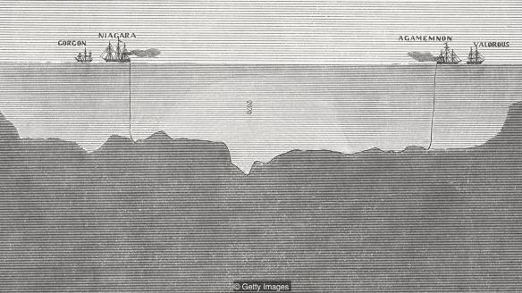
Mapping the Ocean Floor
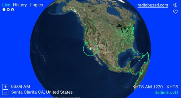
Radio Garden
Radio Garden is an interactive globe that allows visitors to listen to over 8,000 live radio stations from around the world. When you visit the site, radio stations are loaded and then you will be directed to the radio station closest to your current location. From there, you can explore other stations around the globe. Cities with multiple participating stations will have a list appear on the right side of the browser, allowing you to choose which station to listen to. By selecting the History tab or the Jingles tab, you can explore historic radio broadcasts and station jingles from across time and space. Check it out!
Caring For Your Globe Collection
The First Isothermic World Maps
Finding and Mapping National Parks
The US National Park Service boasts an extensive, well-designed website that features resources for educators, nature lovers, history enthusiasts, and anyone interested in learning more about the many U.S. national parks and sites. Check out the Find a Park page, which allows you to quickly locate parks and historic sites of interest. Using the interactive map, you can find parks by state and view a variety of statistics about park visitors and land area in each state. You can also conduct a text search to find a particular park. You can also scroll down on the main page to check out a list of fee-free days at national parks.