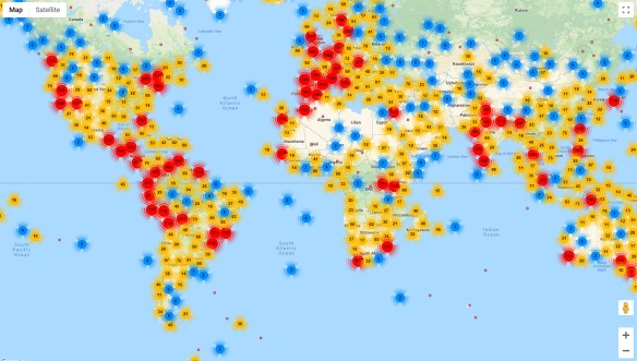
If you like birds, the Internet Bird Collection (IBC) is an excellent place to spend some time. The IBC is an online audiovisual library of videos, photos, and sound recordings of the world’s birds created with the ultimate goal of disseminating knowledge about the world’s avifauna. You can explore multimedia materials and recordings of thousands of bird species crowdsourced by birdwatchers around the world, with their species identifications cross-checked by trained ornithologists. This vast collection can be searched and filtered by family name (common or scientific), country, keyword, date, and more, and each media entry includes a location map and shows other media recorded nearby. Those interested can create a free account and contribute their own bird photos, videos, and sound recordings. Check it out!