Registration for the CalGIS 2020 conference in Long Beach next year is now open. Check out their website and register today!


Registration for the CalGIS 2020 conference in Long Beach next year is now open. Check out their website and register today!
GIS Day 2019 is almost upon us. If you have an event and want to get the word out, send an announcement request through the About page and I will get it posted right away.
Here is one for the City of Irvine. They are celebrating GIS Day on November 14.
The big one at LA County will happen on November 13.
GIS Day will be celebrated at a number of colleges like: Pierce College, CSUN, and USC.
Channel Islands Regional GIS Collaborative (CIRGIS) will have GIS Day on December 6 at Ventura College. The keynote speaker will be Michael Goodchild.
Also make sure to register your event on the GIS Day website.
Just a reminder that the ESRI Ocean and Atmospheric GIS Forum will be starting tomorrow.
In February and March 2020, you can enjoy the CalGIS conference, Geodesign Summit, and ESRI Developer Summit. Check out all conferences from the GIS/Mapping Conferences page.
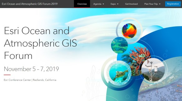
ESRI will be holding an Ocean and Atmospheric GIS Forum at their headquarters in Redlands on Novermber 5-7, 2019. Check it out and register.
Interested in Deep Learning using ArcGIS tools? Sign up for this webinar, held October 1st, to learn more about how to implement Deep Learning tools in ArcGIS to perform analysis faster. Topics include Deep Learning in ArcGIS best practices, the Deep Learning tools, tips, and a deep dive into technical use cases. Sign up now!
The 2019 ESRI User Conference Technical Workshops are now available online for you to view. If you missed a workshop or two during the conference, you might be able to view it if it is available. Check it out here!
The 2019 ESRI User Conference Proceedings are now available for you to view and download papers from user presentations and slides from technical workshops. Check it out here!
Take advantage of this free NG9-1-1 workshop. Topics include:
The workshop is for:
The workshop will be held September 24, 2019 from 10am to 2:30pm at 333 Olympic Drive, Santa Monica. Lunch will be provided. Park in the Civic Parking Structure on the corner of 4th & Olympic.
To RSVP, visit http://bit.ly/SantaMonicaScissors .
Geography 2050 is a multi-year, strategic dialog about the vital trends reshaping the geography of our planet in the coming decades. Initially organized by the American Geographical Society (AGS) in 2014, the ongoing Geography 2050 dialogue convenes thought leaders from academia, government, industry, and the social sector to facilitate discussion of the major forces that will shape our planet’s future. In the late 20th century, talk of a borderless world began to take hold among many in both academia and the media as the end of the Cold War and the forces of globalization rapidly impacted the planet. While many aspects of globalization led to greater fluidity across international borders in terms of trade, capital, technology transfer, and the movement of people, this same period witnessed the creation of more international borders, not fewer. This symposium questions what the world map will look like in 2050 and how our practice of defining, maintaining, and even understanding the meaning of borders might change. Within each theme, we will look both at scenarios of increasing interdependence and division and how they could play out by 2050.
This year’s Symposium will focus on how geography and geospatial science impact the role of borders in our future economy, environment, and geopolitical situation. Click below for more info.

Just a shout out to Pasadena for the great job on their presentation at the ESRI User Conference on Monday! If you missed it, check it out here.
I did not even know about the new ESRI software Tracker for ArcGIS and ArcGIS QuickCapture. Very cool!

