Check out this article on how to add historical USGS Topo maps to your web map in ArcGIS Online. It’s pretty easy to do!


Check out this article on how to add historical USGS Topo maps to your web map in ArcGIS Online. It’s pretty easy to do!
Not too long, in the 1800’s, the south half of California almost became a state named Colorado!

The proposal was authored by Andres Pico, a wealthy landowner. Pico was a Californio, part of the Spanish culture that had first settled in the region in the 1700’s.
Long before Americans arrived in the far West, Californio agriculture and trade were thriving. Their problem was the lure of gold. Once the first nugget was discovered in the region in 1848, hordes of settlers rushed to northern California. The Californios were quickly outnumbered, and that’s what led Pico to push for separation. Of course, Pico’s plan would not be the last attempt to split California. California has been the subject of more than 220 proposals to divide it into multiple states since its admission to the union in 1850, including at least 27 significant proposals in the first 150 years of statehood. Pico brought California the closest to separation and never again would a plan have such widespread support. The state legislature, the governor, and the residents were all on board for this one!
Pico’s proposal suggested calling the new state “Colorado”, which by the way ranks among the most coveted state names ever. Votes were taken and the matter was sent to Washington, D.C., for final approval.
BUT … Congress was not listening because they were preoccupied with a tiny matter called the Civil War. It did not happen yet, the year was 1859, but tensions were rising. The folks in Washington just were not interested in California’s plan to slice itself in half.
After southern California’s rebranding attempt failed, the Arizona territory laid its plans to rename itself “Colorado”, however the rectangular state to the north beat them to the prize!
 This piece of trivia was taken from the book, An Astounding Atlas of Altered States: The Real Stories of the States That Never Came To Be. Could be a great gift for someone you know!
There is a California GIS Council Meeting today at 10 am. Agenda here. If you want to attend remotely, more info here.
SoCal URISA is hosting a Webinar on Drone Usage. The webinar is today at noon. It is hosted by Professor Warren Roberts. Prof Roberts teaches GIS at Rio Hondo Community College and has completed his certification for the FAA 107 License for sUAV Drone Pilot.
In the webinar, Warren will share with you the many growth areas including surveying, public safety, biology, and other industries.
We’ll explore: how you prepare for the FAA 107 to enable you to commercially perform services, using the sUAV, best practices for survey mapping, and processing to capture accurate orthomosaics and surface models for inputs into GIS.
 URISA has just released the second edition of The GIS Management Handbook. This is a major revision of the 2009 book. The book has been expanded and updated and comes with a valuable set of supplemental digital materials. Click to the right for more info and to read an overview of the book.
OK, this might not be the ultimate Christmas gift for some, however if your loved one loves maps and globes … and LEGOs, then this is the ULTIMATE CHRISTMAS GIFT!!!!
You need to get them a LEGO Globe kit! Even the stand for the globe is made of LEGOs! It’s a piece of art for display and geography purposes! There is no excuse! And you can get the globe in different color schemes. It’s not cheap, expect to spend over $800 … your loved one is worth it! Check it out. Only 19 shopping days left before Christmas! 😮

ESRI announced that it has partnered with 3DR, a leading US drone data company, to expand ESRI’s current drone imagery offering, Drone2Map for ArcGIS, with an end-to-end enterprise drone data and analytics solution for ESRI’s ArcGIS platform. Click below to read more.

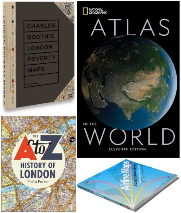
Looking for that perfect Christmas gift for a map aficionado? Check out these ideas in the 2019 Holiday Gift Guide.
Click below to check out data and maps about individual meal items you find during Thanksgiving dinner. Have a happy Thanksgiving!

Students of the history of cartography are invited to submit papers for the 2020 Ristow Prize competition. Undergraduate, graduate, and first-year postdoctoral students of any nationality are eligible to compete. Papers must be in English, not exceeding 7500 words, and should be submitted digitally as a PDF document to kaparker18th@gmail.com by 1 June 2020. Appropriate illustrations, especially maps, are encouraged. The winning essay will receive a cash prize of $1000 and will be published in The Portolan, the journal of the Washington Map Society. The prize, named in honor of the late Dr. Walter W. Ristow, is sponsored by the Washington Map Society of Washington, D. C. For more information, including a list of previous winners, go to the website www.WashMapSociety.org or contact Dr. Katherine Parker at kaparker18th@gmail.com.
