Check out this interactive map from AAA (American Automobile Association) showing Covid-19 travel restrictions by state, county, city, and roadway/border checkpoints and closures.


Check out this interactive map from AAA (American Automobile Association) showing Covid-19 travel restrictions by state, county, city, and roadway/border checkpoints and closures.
Every month the ESRI State & Local Connect webinar series brings you 45 minutes of content you need to know, from the people who are dedicated to helping you succeed with GIS. This month the team is introducing The GIS Professional’s Guide to Spatial Analytics webinar.
You’ve heard of spatial analytics, but are you taking full advantage of the capabilities that are already at your fingertips? This capability that helps us uncover hidden patterns, make predictions, and understand changes over time also allows you to improve government services and take meaningful action. This webinar will show you the ready-to-use ArcGIS capabilities for spatial analytics.
Join the ESRI state and local government team to
Click here to register for the webinar. It is on January 20, 10-10:45am PST.
The US Census Bureau just released the first public publication of the 2020 Census Geography through TIGERweb. This includes the 2020 Census Blocks, Census Block Groups, and Census Tracts. Download the new Census Geography Files today!
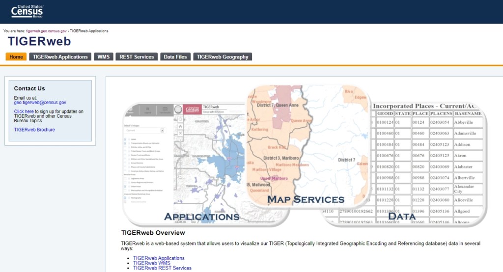
For those of you that participated in the Boundary and Annexation Survey (BAS), the new files can be found here.
Rio Hondo College GIS courses start January 30th. Classes are entirely online and our high tech GIS lab is accessible to you via remote desktop. All sessions are recorded in the event you are unable to attend class at scheduled times. More information can be found at www.riohondo.edu/gis .
Spring classes include the latest class GIS 150 which prepares you for Remote Pilot (Drone) Commercial Exam and includes survey mapping workflow to generate survey grade inputs for GIS.
Yes, part of what makes online courses so convenient is that you don’t have to commute to Rio Hondo Campus but can instead complete your coursework from home. For many of us today, we find ourselves at home with families and unexpected happenings and would much prefer the convenience of online with the ability to work on your own schedule.
Yes, however, software install is optional given that you will have access to the fast high tech labs with the latest GIS and related softwares via remote desktop. No software configuration required on your computer (Windows or Mac). Computer mouse is required.
Classes can be completed asynchronous. However you are encouraged to join us for the first 60 minute sessions for each class. The sessions are always recorded and made available later that evening for students with a conflicting schedule.
Apply for admission and register this week and entirely online. To register for classes, you must first apply for admission (entirely free online). Applying for admission and registering cannot be any easier and steps found here.
Yes. Select Rio Hondo GIS courses are transferable courses to CSU and other universities.
Simple, contact Prof. Warren Roberts wroberts@riohondo.edu
Happy New Year! Looking back at 2020 on SoCalGIS, we did not get as many viewers as 2019, but we all know why. However, here are the top 5 viewed posts of 2020, and Jobs was not one of them! And all were posts made before 2020!
Hoping 2021 is all our best year yet!
Registration for the 2021 Geodesign Summit is now open. The Geodesign Summit will be held virtually February 9-10. There are some pre and post summit workshops on February 8 and 11 as well.
ESRI has released ArcGIS Pro 2.7. Watch the video below about what’s new.
What’s New documentation here.
If your software maintenance is up to date, you can download from https://my.esri.com .
Before I take off for the rest of the year, I would like to wish everyone a very Merry Christmas and a Happy New Year. Enjoy this year’s Christmas Map! -mike
Depending on where you live, here is the historic probability of at least 1 inch of snow on Christmas. Spoiler alert, Los Angeles is 0%.

More info about the map here.
Looks like ESRI has released the prerelease of ArcGIS Enterprise 10.9. You can download your software at my.esri.com.
Other info about this prerelease:
ArcGIS Enterprise 10.9 upgrades are not supported at the 10.9 prerelease. To see the new capabilities of the ArcGIS Enterprise 10.9 prerelease, a new installation is required. Upgrades from previous versions to the 10.9 prerelease are supported only for testing purposes. Do not upgrade production systems to the 10.9 prerelease. Upgrades from the prerelease version to the final released version are not supported. The final release of 10.9 will support upgrades from previous software releases as usual.
The following components are not included with the ArcGIS Enterprise 10.9 prerelease and will be available with the final release of ArcGIS Enterprise 10.9:
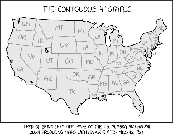
At first glance, everything looks ok. Do you know which of the 7 are missing? Brought to you by xkcd.com.