Get caught up on the latest legislation and policy news compiled by the GIS Council Policy Advisory Workgroup. Click here for more info.
GIS Under The Dome Q4 2021
Reply

Get caught up on the latest legislation and policy news compiled by the GIS Council Policy Advisory Workgroup. Click here for more info.
You might want to try this one out at your New Year’s Eve party! Put your knowledge of the world to the test with GeoGuessr, the game that drops you somewhere in the world using Google’s Street View feature and leaves it up to you to guess the location. In the game, you must navigate the map and take in as much information as possible, utilizing your knowledge of geography, history, botany, languages, architecture, and culture to make your best guess. You can play the Classic mode solo, play with friends, or compete in Career mode. You can opt to drop anywhere in the world at random or choose from GeoGuessr’s map categories, including famous places, specific countries, popular maps, and more.
GeoGuessr requires an account to play, but signing up is free. With a free account, you can play one five-round game for free each day, while the subscription model allows more frequent playing and access to additional features. GeoGuessr is available in 10 languages and can be played in a browser or as an app available from the Apple App Store or Google Play. Check it out!


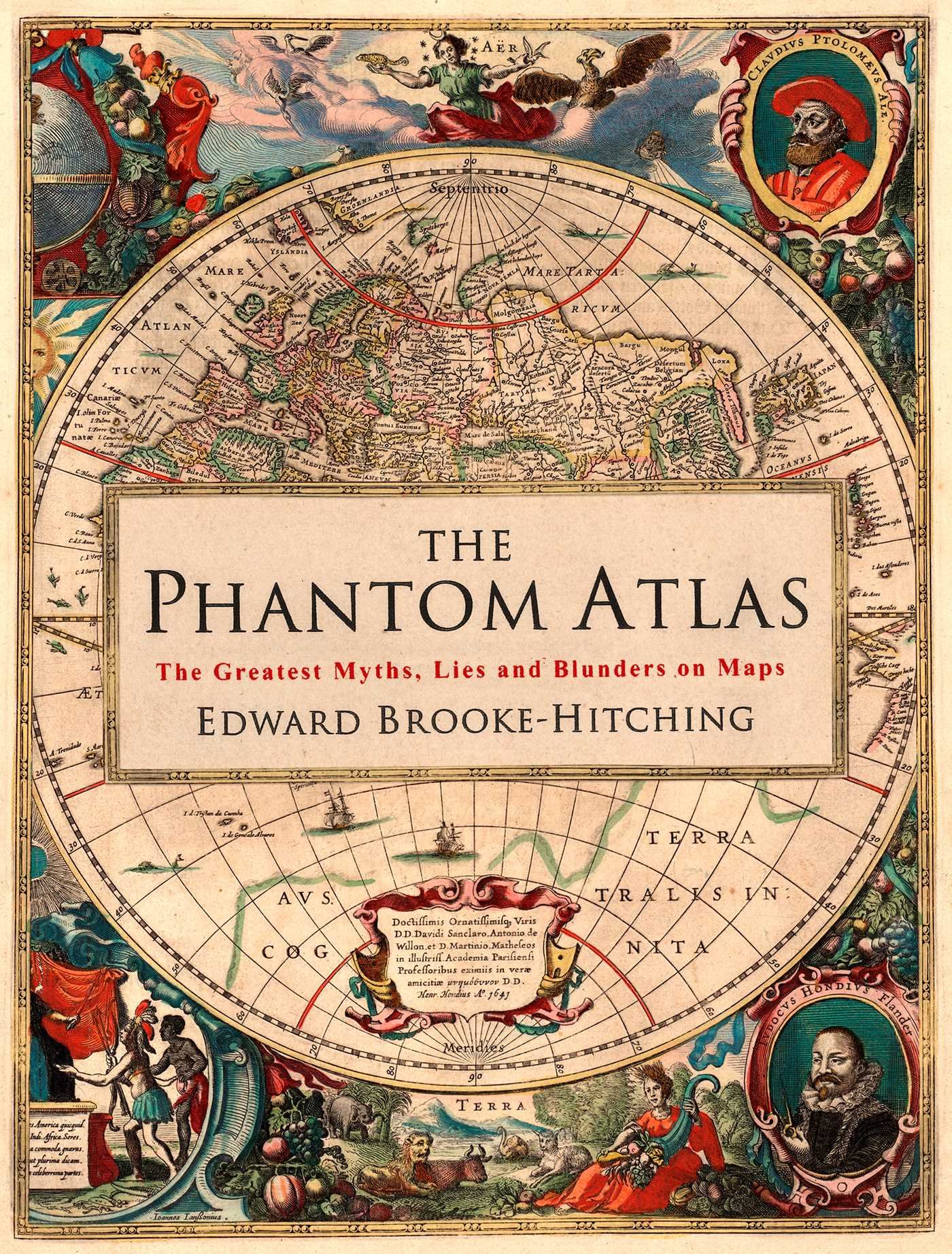
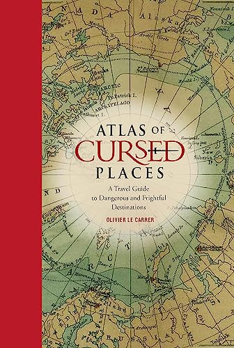
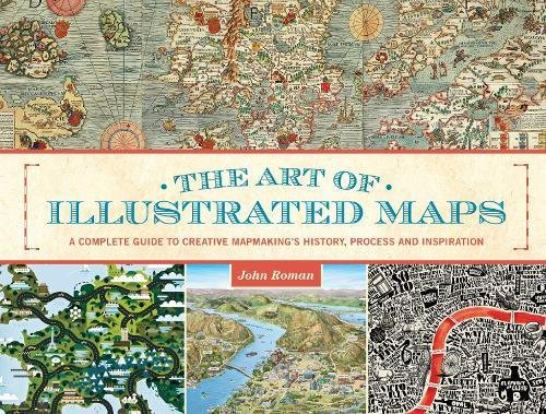
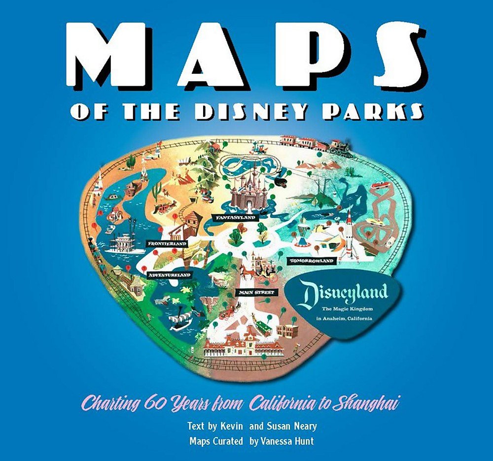
While Santa tries to figure out where we all live … using a paper map … just in case, here are a few map books you might consider if they don’t arrive soon!
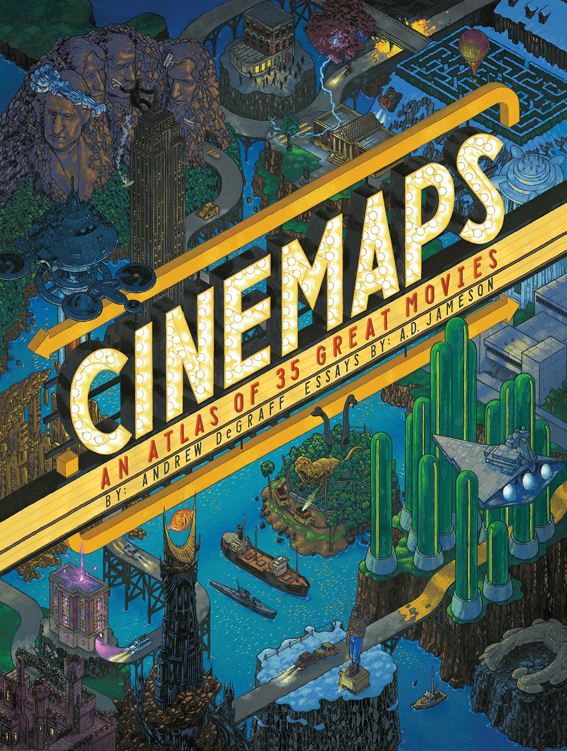
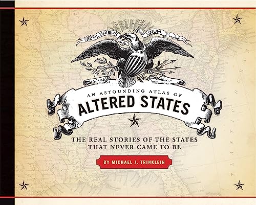

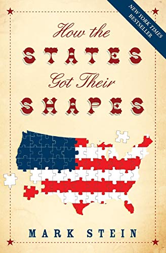
And not an atlas, but a good read:
If you all have other suggestions, please post in the comment section!
Make sure you read about the Physics of Santa, a post from 2015.
Have a Merry Christmas and Happy New Year! -mike
Looks like ArcMap has an update! Version 10.8.2. Mostly bug fixes with a few enhancements. You can download the update from my.esri.com.
Check out this article about the top 10 educational benefits for students who use GIS. Spoiler alert: it will help your career pathway!
Rio Hondo College GIS Courses are scheduled for both online and hybrid with field exercises this spring semester starting January 29th. Courses include Introduction to GIS, Intermediate GIS, (Surveying w/) Small Unmanned Aircraft Systems, Cartography, Crime Mapping and Geospatial Programming (Python) and our new course taught by instructor Sean Christian PE is the GIS for Public Works (GIS222).
For more information on GIS and Rio Hondo visit here https://page.riohondo.edu/gis/ and list of course schedule here https://gisteacher.wixsite.com/riohondo/spring2022
Have you registered for the 2022 ESRI User Conference? It’s back in San Diego! Hurry and register and get your favorite hotel.

So what’s new in ArcGIS Online? A whole bunch of enhancements and new stuff. Click below and check it out!
Every month, the Esri State & Local Connect webinar series brings you 45 minutes of content you need to know, from the people who are dedicated to helping you succeed with GIS. This month the team is taking a deep dive into imagery capabilities for state and local government.
The diversity and volume of imagery and remote sensing data are growing rapidly. Drone, aerial, and satellite imagery and other types of remotely sensed data are opening new frontiers in nearly every facet of government. In this webinar, we will showcase how the latest imagery capabilities can provide communities with greater insights into nearly every aspect of operations, from urban planning and natural resource management to event management and disaster response.
Click here for more info and to register. Past webinar recordings can be found there too.
There is a proposed revision to the Council’s Charter to change their name from the California GIS Council to the California GIS Community Forum, the Executive Committee to the Steering Committee, and other changes in the text to better align with how this group functions. See the changes here.
The revisions were drafted by the Charter Review and Strategic Plan Workgroup.
