NASA is using a high-altitude aircraft and a sophisticated imaging spectrometer to study environmental impacts caused by the devastating Southern California wildfires. Click below to read the article.


NASA is using a high-altitude aircraft and a sophisticated imaging spectrometer to study environmental impacts caused by the devastating Southern California wildfires. Click below to read the article.
A newly discovered print of Martin Waldseemüller’s 1507 map was to be sold at auction this month until experts raised concerns about its authenticity. The Waldseemüller map is considered to be the first to mention America. Click below for the story and how it was discovered to be a fake.

The 2018 ESRI User Conference Registration is now open. Hurry and register for the conference to get your favorite hotel before they fill up!

Check out this image of the Thomas, Creek, and Rye Fires today at 10:25am.

Source: NASA Earthdata, MODIS Near Real Time Images

As winds kept blowing this morning, the Creek Fire near Sylmar started up and mandatory/voluntary evacuations were issued. More on LA County Fire PIO twitter site.

Check out the National Weather Service’s visible loop to see how fast the Creek Fire erupted. You can also see the larger spot, which is the Thomas Fire in Ventura County.

Also if you have been following the Thomas Fire near Santa Paula/Ojai/Ventura, more info can be found on the Ready Ventura County site. Mandatory and voluntary evacuations have been issued.
For the National Weather Service wind speed map and other info, click below.

ESRI is offering a complementary training class for ArcGIS Pro, titled “Go Farther with ArcGIS Pro”, in El Segundo, Friday December 8. The class is designed for experienced ArcMap users which will familiarize you with ArcGIS Pro workflows related to mapping, editing, geoprocessing, and 3D. Click below for more info and to register.

See how a data enthusiast takes commuter data from the US Census American Community Survey and plots where people live and work to visualize commuting trends. Click below to read about how it was done.

Click below to try out the app and select a state and county to visualize the data.

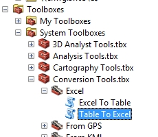
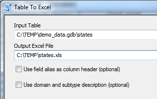
Ever need to export your feature attributes or a table to a CSV file when using ArcGIS Desktop? There are a few ways to do it. Here are four (plus an extra):
Option 1: Table to Excel to CSV
This procedure uses the Table to Excel tool, then Microsoft Excel to convert to CSV.
The Table to Excel tool is located in the Conversion Tools toolbox.
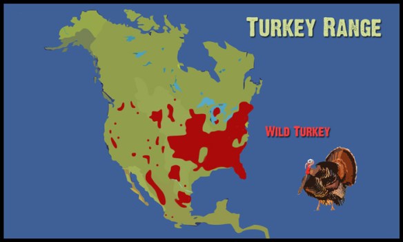
Before you dig in to the food at Thanksgiving tomorrow, check out this interesting history lesson about the wild turkey, how it migrated to Europe, and how it got the name “turkey”.
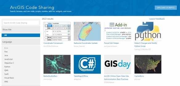
Looking for some code that will solve all your problems? Check out the ArcGIS Code Sharing site. Code can be filtered by language and software product. Click below to find that nugget of code you need!