
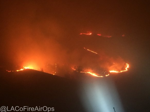
As winds kept blowing this morning, the Creek Fire near Sylmar started up and mandatory/voluntary evacuations were issued. More on LA County Fire PIO twitter site.

Check out the National Weather Service’s visible loop to see how fast the Creek Fire erupted. You can also see the larger spot, which is the Thomas Fire in Ventura County.

Also if you have been following the Thomas Fire near Santa Paula/Ojai/Ventura, more info can be found on the Ready Ventura County site. Mandatory and voluntary evacuations have been issued.
For the National Weather Service wind speed map and other info, click below.


A few more resources:
Seems like Twitter is the best platform for updates (not many maps though):
LA County Road Closures site: http://dpw.lacounty.gov/roadclosures/
There are wildland fire mapping sites too. They are not exactly the same, but good information (and on a map):
http://www.esri.com/services/disaster-response/wildfire
http://google.org/crisismap/2012_us_wildfires