This is a great article about LiDAR data and best practices. From Earth Imaging Journal.
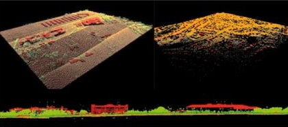
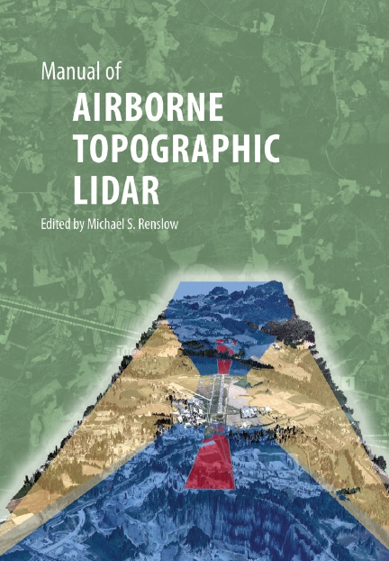
Also a new book on LiDAR.

This is a great article about LiDAR data and best practices. From Earth Imaging Journal.
Also a new book on LiDAR.
In the tradition of Valentine’s Day, a heart map:

Map by Ernest Dudley Chase, 1943. You can view online at the Harvard Map Collection Digital Maps.
So you think supplying more government data freely and in more formats will lead to more use? Check out this report from the University at Albany, SUNY.
California State University Fullerton offers a Certificate in GIS. Information about the program can be found on their Extended Education site.
With declining budgets and travel limitations, it is challenging for data managers to keep up-to-date on the latest metadata standards and tools. In response, the National Oceanic and Atmospheric Administration’s (NOAA) National Coastal Data Development Center (NCDDC) is offering Introduction to Geospatial ISO Metadata, a free, online training series beginning in January 2013.
NCDDC set out to meet the increased needs of data managers as many organizations transition from FGDC to ISO standards. Working with other metadata trainers within the community, the NCDDC Metadata Team has developed a complete package of training materials for the transition to ISO metadata standards. Conducting this training online is an innovative way to meet the increased demand for this training while controlling travel expenses. NCDDC conducted two prior metadata training series online in which over 1500 participants from 18 countries on five continents took part. The success of these efforts has led to the continuation and expansion of the training with two series of Introduction to Geospatial ISO Metadata and two series of Transitioning from FGDC to ISO Metadata already planned for 2013.
Registration is now open for the next series which will be held every Tuesday from 9:30 a.m-10:30 a.m. CST from January 15 until March 5, 2013. The series will start with an introduction to metadata, and cover topics such as XML basics, tools, and data discovery. All materials will be made available online, and instructors will be available by request for special one-on-one “My Metadata” sessions to answer specific questions for individual participants.
To register or for more information, please visit:
http://www.ncddc.noaa.gov/metadata-standards/metadata-training/course-one/
Contact:
Jacqueline Mize
NOAA National Coastal
Data Development Center
NCDDCMetadata@noaa.gov
228-688-2174
This is a very beautiful map of the submarine cable system. TeleGeography is the creator of the map. Check it out at http://www.telegeography.com/telecom-maps/submarine-cable-map/index.html.

So Cal URISA User Group Meeting – March 7, 2013
Water Quality Presentations
Schedule:
8:30am – 9:00am: Arrival and networking
9:00am: Start
9:00am – 10:30am: 2 Presentations
10:30am – 10:45am: Networking Break
10:45am – 11:45am: Lightning Talks – 6 Sessions – 10 Minutes each
11:45am – 12:00pm: Networking Break
12:00pm – 1:00pm: Lunch and Sponsor Presentations
Location:
Southern California Coastal Water Research Project
3535 Harbor Boulevard #110
Costa Mesa, CA 92626
If you are interested in giving one of the six Lightning Talks related to Water Quality, or are interested in Sponsoring the event, with the opportunity to give a 1/2 hour presentation, please contact Russell Mercer
Free to So Cal URISA Members
For more information and to register online: http://socalurisa.org/Events_201212_UserGrp.html
If you are interested in presenting either a full length or lightning talk, they still have spots to fill. They are also looking for someone to sponsor the event, in exchange for a 1/2 hour presentation. If you are interested in either, please contact Russell Mercer.
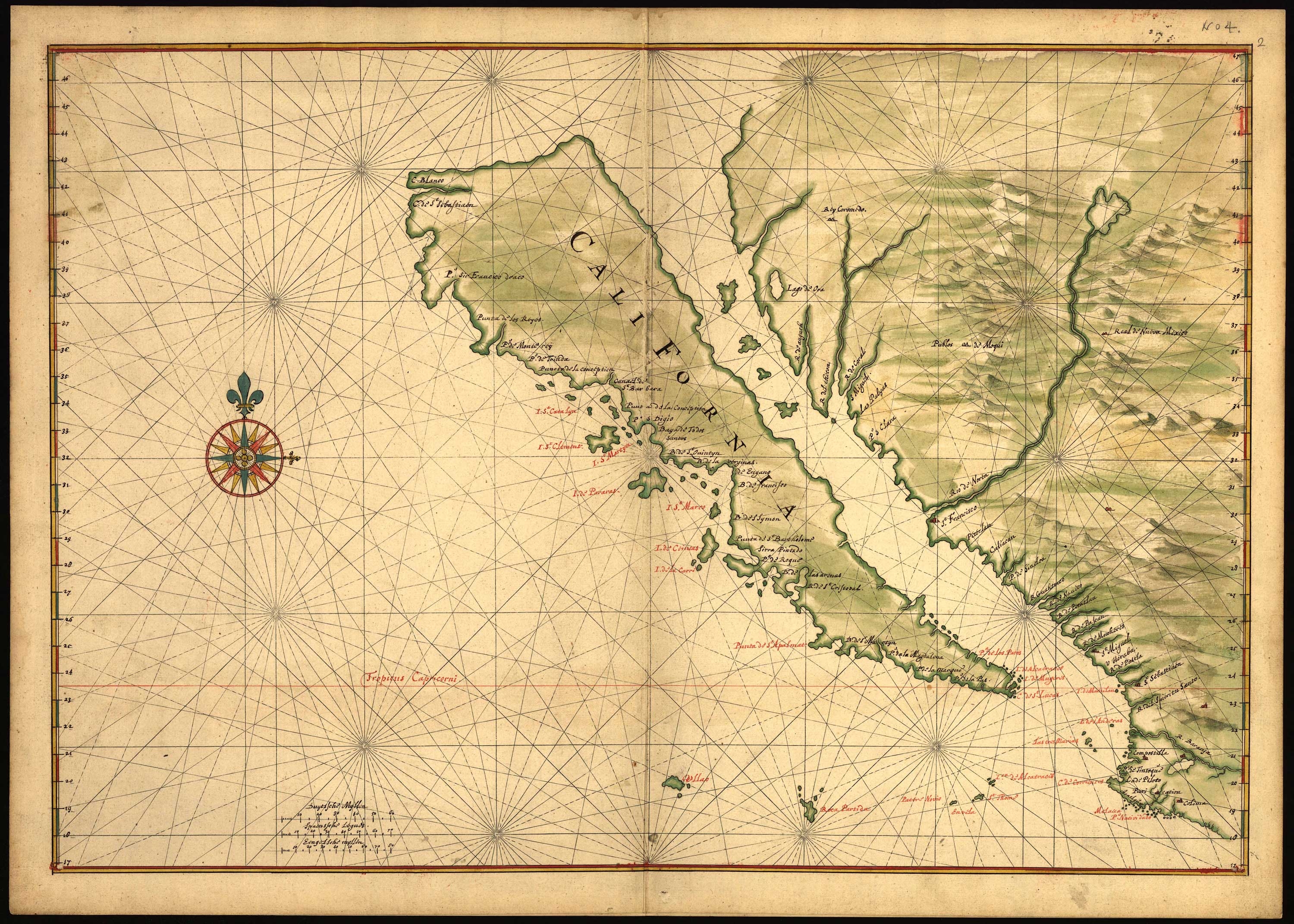
Don’t miss the California Map Society meeting at UCSB this Saturday, February 2nd. For more info, visit their web page at californiamapsociety.org.
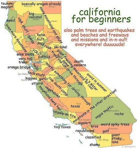
Yes, I think it’s really like this!