Greetings,
The North American Cartographic Information Society (NACIS) recognizes the important contributions students make to our field. To promote their hard work and achievements, we offer two fantastic student competitions each year at our annual conference (held this year on October 14–17 in Minneapolis, MN). All students currently enrolled in a certificate program, undergraduate, or graduate/post-graduate program are eligible to enter, as long as they have not previously won the top prize in either competition.
Student Dynamic Map Competition
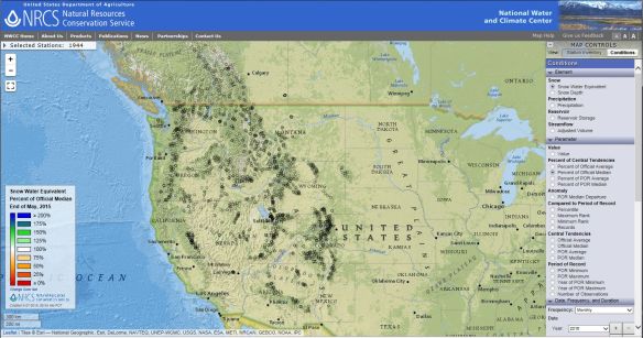
NACIS recognizes the importance of dynamic mapping in cartography. We are sponsoring the 16th Annual Student Dynamic Map Competition to promote cartographic excellence and innovation in this versatile medium. Two prizes of $500 will be awarded; one for and individual project and one for a group project. Deadline for submissions is September 11th. To view the rules and prizes, please visit http://nacis.org/awards/student-dynamic-map-competition/.
Student Map and Poster Competition
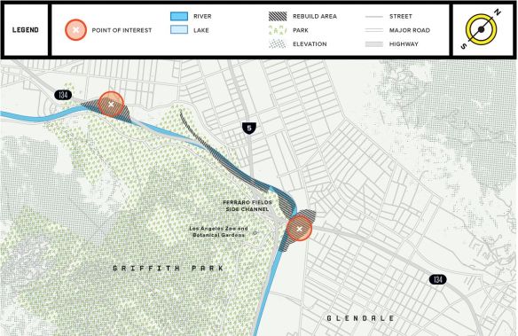
Students who would like to display their works at NACIS 2015 should register for the Student Map and Poster Competition. There are two competition categories: cartographic design and research quality. We encourage all students to submit their maps and technical/research posters for a chance at one of two $500 prizes! There is no entry fee. All entrants will be displayed in the Exhibits Gallery, and the winner will be selected by a ballot of all meeting attendees. The deadline to register is September 11th, 2015. For more information, please visit http://nacis.org/awards/student-map-and-poster-competition/.
Please take a moment to encourage your students to enter either of the above competitions. We look forward to seeing the diverse range of entries in Minneapolis!
Travel Grants
As an organization (and as former students ourselves), we’re aware that student budgets don’t often allow for extras like conference attendance. Each year, NACIS offers a number of travel grants to students wishing to attend the annual conference. To find out more, please visit http://nacis.org/awards/grants/.
Thank you, and we hope to see you in Minneapolis in October!
Alethea Steingisser NACIS Board of Directors Chair – Awards and Travel Grants Committee
asteingi@uoregon.edu