ESRI has released ArcGIS Pro 1.0 in the 10.3 release of ArcGIS. It comes with your ArcGIS Desktop licenses. For more information, visit the ArcGIS Pro page.

ESRI has released ArcGIS Pro 1.0 in the 10.3 release of ArcGIS. It comes with your ArcGIS Desktop licenses. For more information, visit the ArcGIS Pro page.
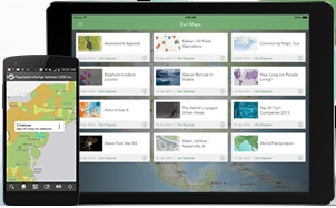
Looks like ESRI released the Android version of Explorer for ArcGIS. Check it out.
Looking for aggregate census data and boundary files? Check out the National Historical Geographic Information System. They include census information from 1790 to the present.
Through the NHGIS Data Finder, users may:
All free of charge!
They have currently released:
NHGIS is also preparing the 2013 ACS 5-year Summary Files and 2013 GIS boundary files for release by early 2015.
After 25 years, the Census TIGER data is still in demand. Even the USGS plans on using it as the primary source of road mapping data for its National Map Viewer and Topo digital mapping applications.

The FAA’s long-awaited rules for drones are finally ready, and they spell bad news for the many businesses and organizations that had hoped the agency would give up its hard-line approach to unmanned aircraft. Read more here.
The State of California is offering GIS services for organizations that need access to GIS resources. See the LA County eGIS posting here.
CGIA is looking for someone to create their next web application that will make accessible a list of GIS contacts throughout the State of California. The competition is open to anyone. First prize will be $1,500. Click here for more info.
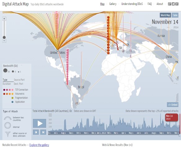
As you read this post, there are many digital attacks going on over the internet. The most common is called the Distributed Denial of Service (DDoS) attack. A DDoS attack is an attempt to make an online service unavailable by overwhelming it with traffic from multiple sources. They target a wide variety of important resources, from banks to news websites, and present a major challenge to making sure people can publish and access important information. Watch this video to learn more. Click below to view real time and historical DDoS attacks worldwide.
The National Transportation Safety Board today affirmed the FAA’s position that the regulation prohibiting operation of an aircraft in a careless or reckless manner applies to unmanned aircraft. More info here.
The U.S. dollar this year turns 100 years old (the one that exists today, as printed by the U.S. treasury). Click below for a brief summary on the history of the dollar and how and why it became the reserve currency.


