The 2025 LA Geospatial Summit will be this Friday, February 28th, at the USC Hotel. For more info and to register, visit https://dornsife.usc.edu/spatial/los-angeles-geospatial-summit-2025/ .
2025 Los Angeles Geospatial Summit
Reply

The 2025 LA Geospatial Summit will be this Friday, February 28th, at the USC Hotel. For more info and to register, visit https://dornsife.usc.edu/spatial/los-angeles-geospatial-summit-2025/ .
Check out this 3D map of the fires in LA County by CAL FIRE. You can click on one of the fires listed at the bottom of the map to zoom to it. Fire perimeters, evacuation area status, wind speeds, camera locations, and live tracking of fire fighting aircraft are shown as well.

An alternate 3D Incident Map (Beta) by CAL FIRE can be viewed here: https://www.fire.ca.gov/incidents.html .
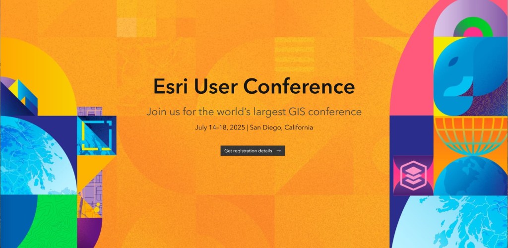
The 2025 ESRI User Conference registration is now open. Get registered and get your hotel as soon as possible!
Come and celebrate GIS Day at Ventura College on Friday 11/22/2024 from 8am to 2:30pm. It will be their 25th year!
Free registration includes: Geospatial Technology Presentations, Industry and Organization Representatives, Posters/Story Maps/Apps, Coffee/Pastries/Lunch.
Featured Speakers
Keynote: Jinna Larkin, County of Santa Barbara GIS Supervisor
Mapping Meaningful Connections – A Santa Barbara Story
Paul Jenkin, Ventura Campaign Coordinator, Surfrider Foundation
Matilija Dam Removal: Sediment transport and downstream implications
Christian Harder, Writer/Editor/Senior Content Strategist, Esri
The Making of The Power of Where, Jack Dangermond’s first book
The 2024 ESRI User Conference Technical Sessions are online for you to view! Check them out.

The Geography and Map Division is excited to support the newly launched “Library of Congress Geospatial Applications” Hub site! Hosted in ArcGIS Online, a web-based platform created by Esri, “the Hub” provides online users with a new way to explore the Library’s wide range of StoryMaps and web map applications in one site.
The 2024 ESRI User Conference is on this week in San Diego. It is ESRI’s 44th user conference and celebrating 55 years as a company.
Some interesting information during the Plenary today:
The user types in ArcGIS Online and later for ArcGIS Enterprise/Portal are changing. Basically:

Any price changes will be effective for renewals from August 1, 2024. August renewals will include the new user types. Any renewals up to July 31, 2024 will retain the same pricing until the next renewal in 2025.
For all the details, read this ArcNews article and/or watch this video.
View the comparison matrix document here.
User types overview and pricing here.
CGIA will be hosting an upcoming workshop – Effective Delegation, on Monday June 17th (12pm – 1:30pm, Pacific).
Effective delegation skills are key to managing one’s workload. Instead of handing a project over to someone and then forgetting about it, achieve good delegation results with the right preparation, feedback, and encouragement. Delegating not only frees up the group leader to focus on other objectives, it is also motivates team members to develop key skills and promotes trust by sharing crucial tasks and responsibilities.
For more information and to register, visit https://cgia.org/2024/05/cgia-professional-development-workshop-effective-delegation-june-17th/ .
Check out all professional development workshops here:
https://cgia.org/2024/01/cgia-professional-development-series/
FYI, effective June 2024, the ESRI US 2021 and ESRI US 2022 demographic datasets will no longer be available. To transition, the ESRI US 2023 data is available now.
To learn more about this deprecation and the steps to transition to the new datasets, visit the resources page here.
