After 25 years, the Census TIGER data is still in demand. Even the USGS plans on using it as the primary source of road mapping data for its National Map Viewer and Topo digital mapping applications.


After 25 years, the Census TIGER data is still in demand. Even the USGS plans on using it as the primary source of road mapping data for its National Map Viewer and Topo digital mapping applications.
The State of California is offering GIS services for organizations that need access to GIS resources. See the LA County eGIS posting here.
CGIA is looking for someone to create their next web application that will make accessible a list of GIS contacts throughout the State of California. The competition is open to anyone. First prize will be $1,500. Click here for more info.
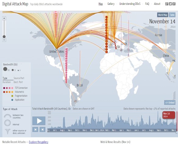
As you read this post, there are many digital attacks going on over the internet. The most common is called the Distributed Denial of Service (DDoS) attack. A DDoS attack is an attempt to make an online service unavailable by overwhelming it with traffic from multiple sources. They target a wide variety of important resources, from banks to news websites, and present a major challenge to making sure people can publish and access important information. Watch this video to learn more. Click below to view real time and historical DDoS attacks worldwide.
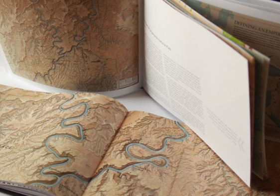
The North American Cartographic Information Society (NACIS) has released their 2014 Atlas of Design. The Atlas of Design is dedicated to showing off some of the world’s most beautiful and intriguing cartographic designs. Check it out and order your copy today!
Just in time for Halloween, Esri’s “Where Are the Bodies?” story map documents the final resting places of some of the most famous (and infamous) actors, artists, authors, and criminals. Check it out!

If you use ESRI’s Collector for ArcGIS in your organization, it looks like they have updated the software to 10.2.7 for both iOS and Android platforms.
For the iOS platform, Collector now fully supports the new resolutions introduced with iPhone 6 and iPhone 6 Plus. In addition, a number of key software defects were addressed.
For more info, visit the announcement here.
Abel Buell’s New and Correct Map of the United States is showcased in the ongoing Library of Congress exhibition “Mapping a New Nation”.
This landmark map of extraordinary significance to the historical record of the United States was published by Abel Buell in 1784. Notably, this is the first map of the newly independent United States compiled, printed, and published in America by an American. Additionally, it is also the first map to be copyrighted in the United States. Only seven copies are known to exist and survive in major institutions in the United States, the United Kingdom, and Spain. The copy on display is considered to be the best preserved of all extant editions and was officially deposited with the Library by Mr. David Rubenstein in January 2010. Check it out!

More scary pictures about the drought, this one about California groundwater loss. NASA used satellites to measure the Earth’s gravity field, which is influenced by many factors including stored water in the soil and rocks. Click on the image to read the article.
Check out this story map about California’s historic drought. Some very scary pictures!
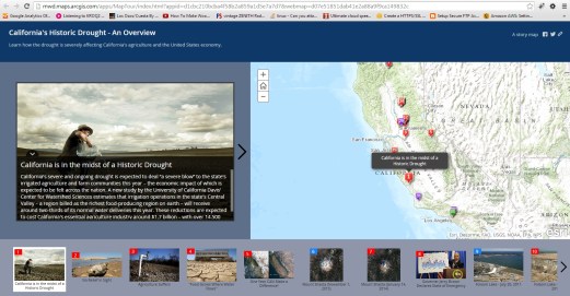
The story map was created by Tom Bleicher at MWD.

