The in-person workshops are back, along with the opportunity for one-on-one chats with ESRI staff. After being a virtual event for two years, the ESRI Developer Summit returns to Palm Springs, March 8–11, 2022. Click below for more info and to register.
ESRI and Autodesk are working together to bring GIS and building information modeling (BIM) across multidisciplinary teams and project life cycles. GIS extends the value of BIM design data through visualization and analysis of structures in the context of the natural and built environment. GIS and BIM integrations enable designers and engineers to design smarter, more efficient buildings and infrastructure.
Attend virtually at Autodesk University this year to hear industry leaders discuss GIS integrations for Autodesk and learn how geospatial engineering drives better decision-making. Discover more about ESRI hosted classes and to schedule a meeting at the virtual booth. Click below for more info.
There will be an ESRI Infrastructure Management & GIS Conference in Palm Springs from October 25-28, 2021. This crossover event provides learning opportunities to users from infrastructure sectors, creating a richer, more valuable experience for organizations to move their location intelligence and GIS forward. Join professionals specializing in the management of infrastructure from several interconnected industries—water; electric and gas; district heating and cooling; pipeline; telecom; transportation; and architecture, engineering, and construction (AEC). Requires proof of vaccination for all those attending this event, and masking is mandatory. More info and to register here.
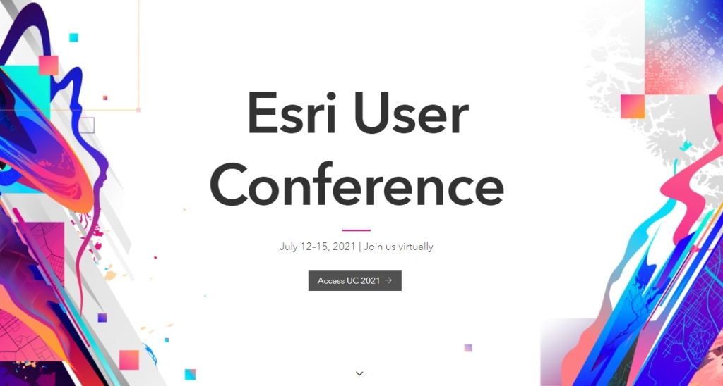
With the 2021 ESRI UC wrapping up today, if you missed any workshops, most are recorded and I’ve been told will be available for registered users to watch until October 13th. You can also order the conference recordings at a reduced rate before August 1st.
Wednesday at 1:45pm PDT the Southern California Association of Governments (SCAG) will be hosting a special workshop showcasing the newly developed capabilities and features of the soon-to-be launched Regional Data Platform (RDP) pilot project. The RDP is SCAG’s biggest and most transformational initiative to date – providing a robust system for regional information sharing and collaboration to support more effective local and regional planning. During this hour-long session, SCAG and ESRI will demonstrate tools and applications for local planning that will be made available to all SCAG jurisdictions at launch, and showcase some features that will be piloted with a smaller group prior to rollout to the rest of the region.
You can access the session through the ESRI UC Web Agenda. You can find it on the UC web page > sessions: https://uc2021.esri.com/sessions and will be able to join using the “Join now” button which will appear the day-of.
While the Plenary went well, most of the tech workshops are having streaming issues, which is unfortunate. Most are being recorded, so hopefully you will not miss any of your favorite tech sessions.
If you missed today’s Plenary, click below to watch!
Registration is open for the next National Geodetic Survey (NGS) Geospatial Summit, taking place online on May 4-5, 2021, from 1:00 – 5:00 pm, ET. NGS strongly encourages attendees to participate on both days.
The NGS plans to replace the North American Datum of 1983 (NAD 83) and the North American Vertical Datum of 1988 (NAVD 88) as part of modernizing the National Spatial Reference System (NSRS).
Attend this year’s Geospatial Summit to:
Learn the benefits of NSRS modernization,
Hear about NSRS modernization progress,
Prepare for how the transition will affect you,
Ask questions of NGS experts, and
Share your feedback about the planned changes.
The summit is free for everyone to attend. Click below for more info and to register.